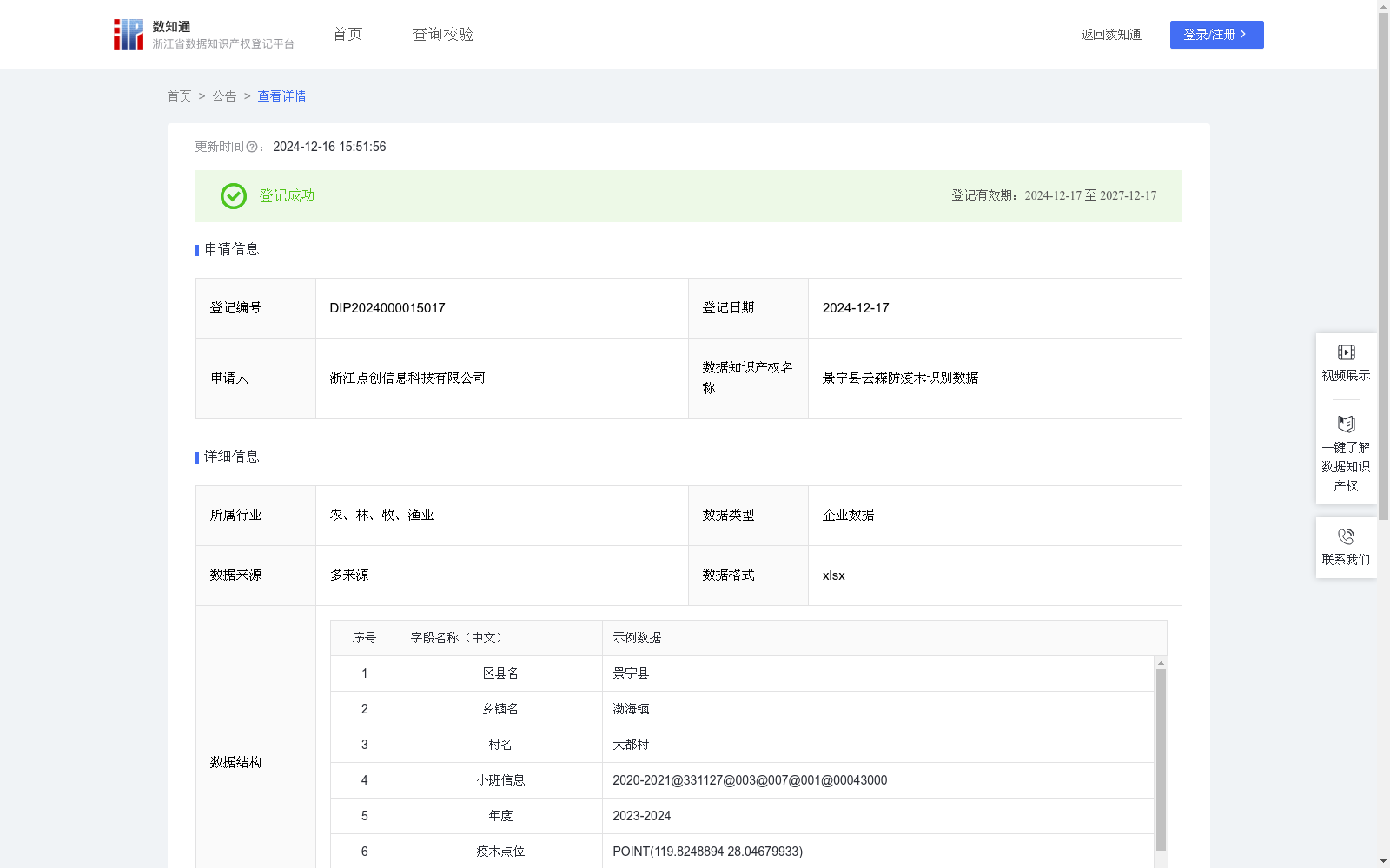
景宁县云森防疫木识别数据
收藏浙江省数据知识产权登记平台2024-12-16 更新2024-12-17 收录
下载链接:
https://www.zjip.org.cn/home/announce/trends/104961
下载链接
链接失效反馈官方服务:
资源简介:
通过ai识别快速精确的获取疫木感染位置已经发病程度,
明晰反映松材线虫病的侵染态势,进而助力开展病情防控工作。1.数据采集来源:使用无人机获取松材线虫疫病区域范围的正摄影像图,将影像数据进行收集整理,进行质量检查,将无效影像删除。(除对成片松林地区使用固定翼无人机进行正射影像采样外,我们还会采用多旋翼无人机对零星林区进行图像采集,获取疫木的点位信息)2.前期工作:基于松材线虫病异常变色木特征,使用暗通道去雾方法对原始影像进行处理,进行裁剪分幅后采用改进后的YOLO算法,得到疫木经纬度,获取松材线虫病的感染分布位置;3.数据处理:将疫木点位分布图与松林小班矢量图层进行叠加,确定松林小班中的感染程度和疫木位置,为松材线虫病疫情防控提供数据支撑。
This dataset enables rapid and accurate acquisition of the infection locations and disease severity of infested pine trees via AI recognition, clearly reveals the infection trend of pine wilt disease, and thereby facilitates the prevention and control of this disease.
1. Data Collection Sources: Collect and sort the orthophoto image data of pine wilt disease-affected regions acquired via unmanned aerial vehicles (UAVs), perform quality inspections, and remove invalid images. (In addition to employing fixed-wing UAVs for orthophoto sampling in contiguous pine forest stands, we also utilize multi-rotor UAVs to capture images in scattered forested areas to obtain the positional information of infested pine trees.)
2. Preprocessing Work: Based on the characteristics of abnormally discolored pine trees caused by pine wilt disease, the original imagery is processed using the dark channel dehazing method. After cropping and tiling, the improved YOLO algorithm is applied to derive the longitude and latitude coordinates of infested pine trees and map the distribution of pine wilt disease infections.
3. Data Processing: Overlay the distribution map of infested pine tree locations with the vector layers of pine forest sub-compartments to ascertain the infection severity and the positions of infested pines within each sub-compartment, thereby providing robust data support for the prevention and control of pine wilt disease.
提供机构:
浙江点创信息科技有限公司
创建时间:
2024-11-08
搜集汇总
数据集介绍
特点
景宁县云森防疫木识别数据是一个用于松材线虫病防控的企业数据集,包含11047条记录,每年更新一次,通过AI识别技术快速获取疫木感染位置和发病程度。数据来源于无人机采集的正摄影像图,经过处理后与松林小班矢量图层叠加,为疫情防控提供数据支撑。
以上内容由遇见数据集搜集并总结生成


