太湖流域1:100万水体功能区划数据(2015年)
收藏国家地球系统科学数据中心2024-01-13 更新2024-03-04 收录
下载链接:
https://www.geodata.cn/data/datadetails.html?dataguid=96262678410148&docId=4080
下载链接
链接失效反馈官方服务:
资源简介:
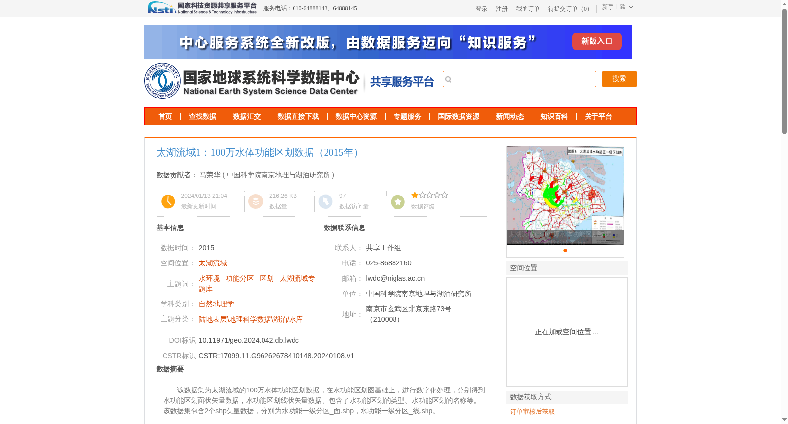
该数据集为太湖流域的100万水体功能区划数据,在水功能区划图基础上,进行数字化处理,分别得到水功能区划面状矢量数据,水功能区划线状矢量数据。包含了水功能区划的类型、水功能区划的名称等。
该数据集包含2个shp矢量数据,分别为水功能一级分区_面.shp,水功能一级分区_线.shp。
This dataset is the 1:1,000,000 water functional zoning dataset for the Taihu Lake Basin. It was developed through digitization of the original water functional zoning maps, yielding two types of vector data: polygonal vector data and linear vector data of water functional zones. The dataset contains attribute information including the type and name of water functional zoning.
This dataset includes two shapefile (SHP) vector datasets, specifically Water Functional Primary Zoning_Polygon.shp and Water Functional Primary Zoning_Line.shp.
提供机构:
中国科学院南京地理与湖泊研究所
创建时间:
2024-01-08
搜集汇总
数据集介绍
背景与挑战
背景概述
该数据集是2015年太湖流域1:100万比例尺的水体功能区划矢量数据,包含面状和线状两种矢量格式,详细记录了水功能区划的类型和名称信息,数据质量符合国家测绘标准。
以上内容由遇见数据集搜集并总结生成


