全球陆地实际蒸散发数据集(1980-2017)
收藏国家青藏高原科学数据中心2022-04-18 更新2024-03-07 收录
下载链接:
https://data.tpdc.ac.cn/zh-hans/data/2517ad68-f98a-41d7-acb7-6b8e19cadc9a
下载链接
链接失效反馈官方服务:
资源简介:
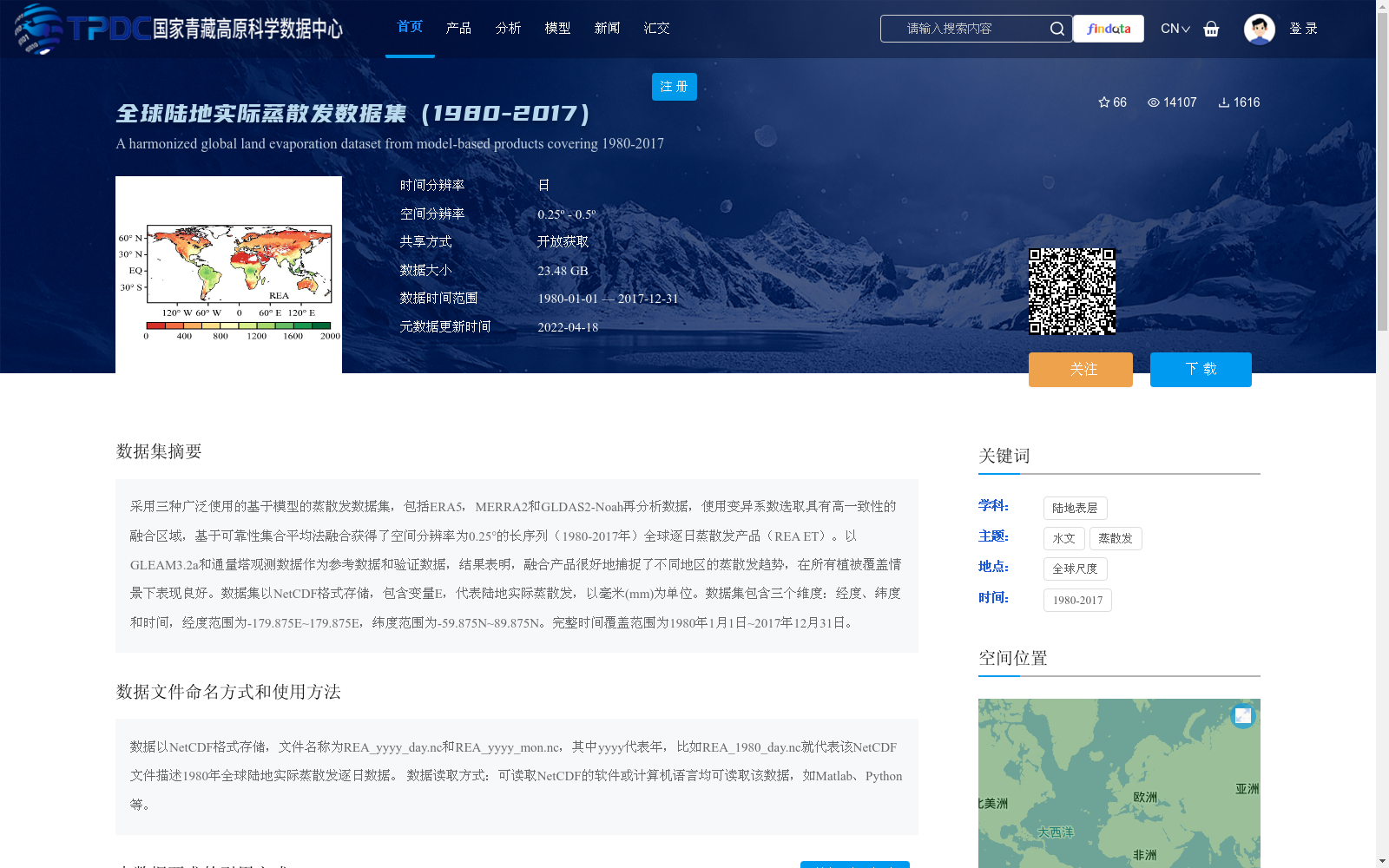
采用三种广泛使用的基于模型的蒸散发数据集,包括ERA5,MERRA2和GLDAS2-Noah再分析数据,使用变异系数选取具有高一致性的融合区域,基于可靠性集合平均法融合获得了空间分辨率为0.25°的长序列(1980-2017年)全球逐日蒸散发产品(REA ET)。以GLEAM3.2a和通量塔观测数据作为参考数据和验证数据,结果表明,融合产品很好地捕捉了不同地区的蒸散发趋势,在所有植被覆盖情景下表现良好。数据集以NetCDF格式存储,包含变量E,代表陆地实际蒸散发,以毫米(mm)为单位。数据集包含三个维度:经度、纬度和时间,经度范围为-179.875E~179.875E,纬度范围为-59.875N~89.875N。完整时间覆盖范围为1980年1月1日~2017年12月31日。
Three widely used model-based evapotranspiration datasets, including ERA5, MERRA2 and GLDAS2-Noah reanalysis data, were adopted. The coefficient of variation was used to select fusion regions with high consistency, and a long-term (1980–2017) daily global evapotranspiration product (REA ET) with a spatial resolution of 0.25° was developed via fusion using the reliability ensemble averaging method. GLEAM3.2a and flux tower observation data were employed as reference and validation datasets, respectively. The results show that the fused product well captures the evapotranspiration trends across different regions and performs robustly under all vegetation cover scenarios. The dataset is stored in NetCDF format, containing the variable E, which represents terrestrial actual evapotranspiration with the unit of millimeters (mm). The dataset has three dimensions: longitude, latitude and time. The longitude ranges from -179.875°E to 179.875°E, and the latitude ranges from -59.875°N to 89.875°N. The full temporal coverage spans from January 1, 1980 to December 31, 2017.
提供机构:
陆姣,王国杰,陈铁喜,李世杰,Daniel Fiifi Tawia Hagan,Giri Kattel,彭建,姜彤,苏布达
创建时间:
2021-12-26
搜集汇总
数据集介绍
背景与挑战
背景概述
该数据集是一个全球陆地实际蒸散发数据集,覆盖1980年至2017年,基于ERA5、MERRA2和GLDAS2-Noah三种再分析数据融合而成,空间分辨率为0.25°,提供逐日蒸散发数据。数据集以NetCDF格式存储,经过GLEAM3.2a和通量塔观测验证,在不同植被覆盖情景下表现良好,适用于全球水循环和气候变化研究。
以上内容由遇见数据集搜集并总结生成


