中国东部及长江中下游地区洪灾图表数据(19世纪以来)
收藏国家地球系统科学数据中心2018-06-22 更新2024-03-04 收录
下载链接:
https://www.geodata.cn/data/datadetails.html?dataguid=245584670180369&docId=20287
下载链接
链接失效反馈官方服务:
资源简介:
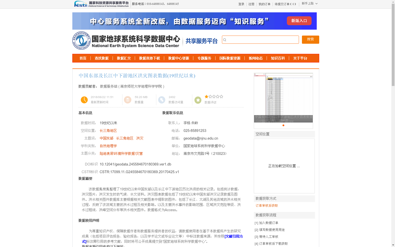
该数据集搜集整理了19世纪以来中国东部以及长江中下游地区历次洪涝的相关记录。包括统计数据,洪灾图片,洪灾发生时的气候、水文资料。洪灾图表数据包括了19世纪以来中国东部洪灾记录数据及图件。洪水相关图件数据库主要根据相关文献图表中提取的图件,包括了长江、太湖及其他流域的洪水相关过程,反映了该流域主要的洪水过程及相关影响。以及主要洪水事件的影响范围、区域洪灾危险等级、洪水过程线、洪峰空间分布等洪水相关图件。数据格式为Access。
This dataset compiles relevant records of successive flood disasters in eastern China and the middle-lower reaches of the Yangtze River since the 19th century. It includes statistical data, flood disaster images, as well as climatic and hydrological data collected during flood events. The flood disaster chart and graph data comprise recorded flood datasets and related visualizations for eastern China since the 19th century. The flood-related map and plot database is primarily extracted from charts and graphs in existing literature, covering flood-related processes in the Yangtze River, Taihu Lake and other relevant basins, which reflect the primary flood processes and associated impacts of these basins. It also contains flood-related visualizations such as the affected extents of major flood events, regional flood disaster risk levels, flood hydrographs, and the spatial distribution of flood peaks. The data is stored in Access format.
提供机构:
南京师范大学地理科学学院
创建时间:
2017-04-25
搜集汇总
数据集介绍
背景与挑战
背景概述
该数据集整理了19世纪以来中国东部及长江中下游地区的洪涝灾害记录,包含统计数据、图片、气候和水文资料,以及洪水过程图件,如影响范围和危险等级图。数据以Access格式存储,覆盖长三角地区,专注于自然地理学领域,适用于历史洪灾研究和灾害风险评估。
以上内容由遇见数据集搜集并总结生成


