全国各省1:100万SOTER地体库坡度因子(1990年)
收藏国家地球系统科学数据中心2022-03-15 更新2024-03-04 收录
下载链接:
https://www.geodata.cn/data/datadetails.html?dataguid=52094817254226&docId=9741
下载链接
链接失效反馈官方服务:
资源简介:
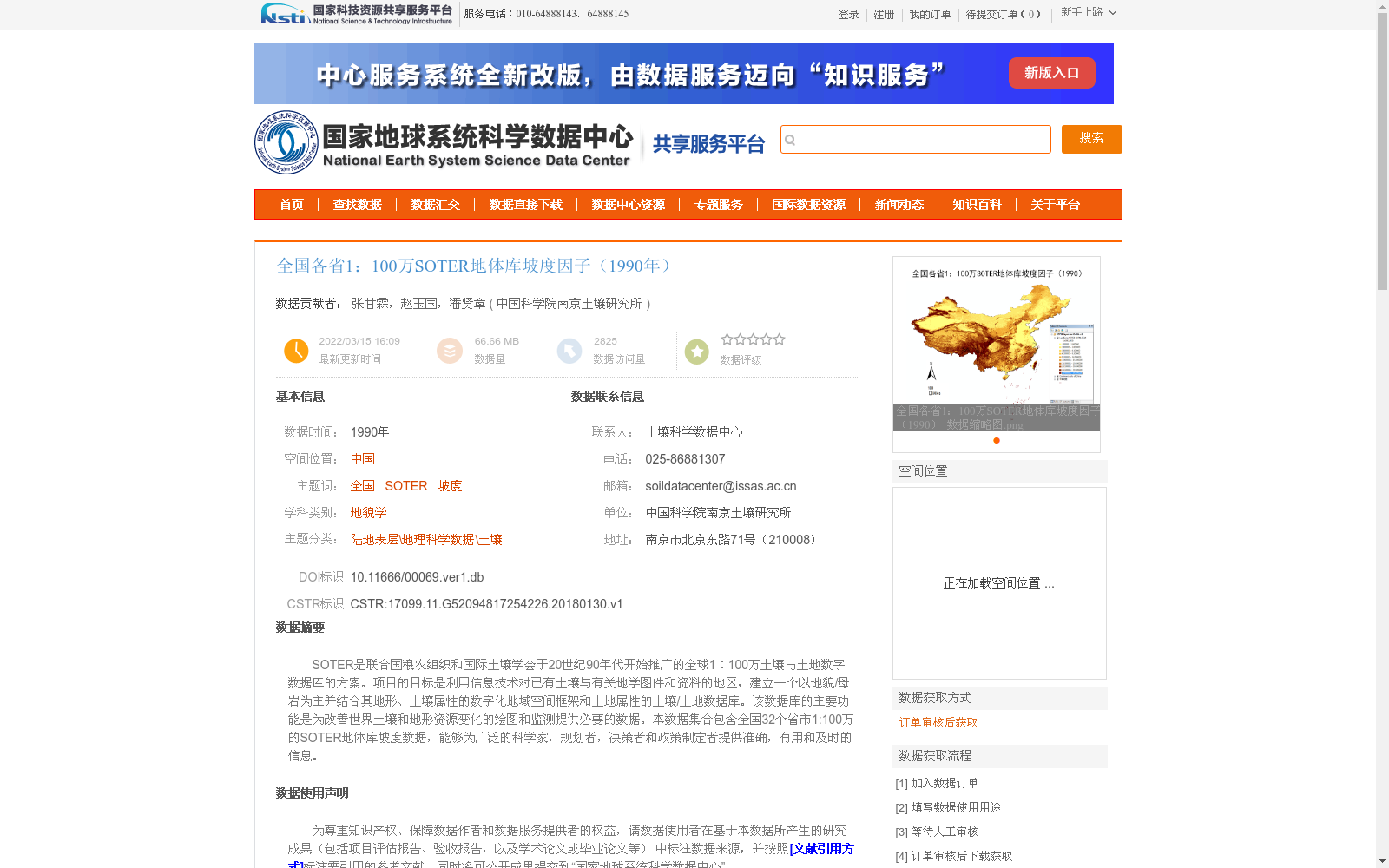
SOTER是联合国粮农组织和国际土壤学会于20世纪90年代开始推广的全球1∶100万土壤与土地数字数据库的方案。项目的目标是利用信息技术对已有土壤与有关地学图件和资料的地区,建立一个以地貌/母岩为主并结合其地形、土壤属性的数字化地域空间框架和土地属性的土壤/土地数据库。该数据库的主要功能是为改善世界土壤和地形资源变化的绘图和监测提供必要的数据。本数据集合包含全国32个省市1:100万的SOTER地体库坡度数据,能够为广泛的科学家,规划者,决策者和政策制定者提供准确,有用和及时的信息。
SOTER refers to a global 1:1,000,000 scale digital soil and land database initiative, jointly launched and promoted by the Food and Agriculture Organization of the United Nations (FAO) and the International Soil Science Society (ISSS) since the 1990s. The project aims to, using information technology, establish, for regions equipped with existing soil and associated geoscientific maps and data, a digital regional spatial framework that prioritizes geomorphology and bedrock while integrating terrain and soil attributes, alongside a soil/land database incorporating corresponding land property information. The core function of this database is to supply critical data for enhancing the mapping and monitoring of global soil and terrain resource variations. This dataset encompasses slope data from the 1:1,000,000 scale SOTER terrain databases covering 32 provinces and municipalities across China, and can provide accurate, useful and timely information for a broad range of scientists, planners, decision-makers and policymakers.
提供机构:
中国科学院南京土壤研究所
创建时间:
2018-01-30
搜集汇总
数据集介绍
背景与挑战
背景概述
该数据集包含全国32个省市1:100万的SOTER地体库坡度数据,基于联合国粮农组织和国际土壤学会推广的SOTER方案,旨在为科学家、规划者和决策者提供准确的地形和土壤信息。数据采用GCS_WGS_1984空间投影,由ISSS SOTER项目产生,适用于地貌学和土壤科学研究。
以上内容由遇见数据集搜集并总结生成


