雅鲁藏布江中部流域土地沙化数据集(1990-2020)
收藏国家青藏高原科学数据中心2022-12-02 更新2024-03-01 收录
下载链接:
https://data.tpdc.ac.cn/zh-hans/data/9f6b1a44-4dd6-4356-8dcb-a81e59f0130a
下载链接
链接失效反馈官方服务:
资源简介:
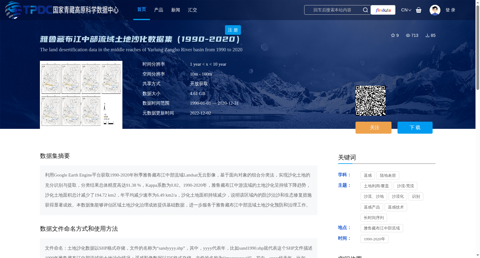
利用Google Earth Engine平台获取1990-2020年秋季雅鲁藏布江中部流域Landsat无云影像,基于面向对象的组合分类法,实现沙化土地的充分识别与提取,分类结果总体精度高达91.38 %,Kappa系数为0.82。1990-2020年,雅鲁藏布江中游流域的土地沙化呈持续下降趋势,沙化土地面积总计减少了194.72 km2,年平均减少速率为6.49 km2/a,沙化土地面积持续减少,说明该区域内的防沙治沙和生态修复措施获得显著成效。本数据集能够评估区域土地沙化治理成效提供基础数据,进一步服务于雅鲁藏布江中部流域土地沙化预防和治理工作。
We obtained cloud-free Landsat images of the central Yarlung Zangbo River Basin during autumn from 1990 to 2020 using the Google Earth Engine platform. By applying an object-oriented combined classification method, we fully identified and extracted sandy desertification lands. The overall accuracy of the classification results reached 91.38%, with a Kappa coefficient of 0.82. From 1990 to 2020, the sandy desertification in the middle reaches of the Yarlung Zangbo River showed a continuous downward trend, with the total area of sandy desertification lands decreasing by 194.72 km² and an annual average reduction rate of 6.49 km²/a. The continuous reduction in sandy desertification land area indicates that the desertification prevention and control as well as ecological restoration measures implemented in this region have achieved remarkable results. This dataset provides basic data for evaluating the effectiveness of regional sandy desertification control, and further supports the prevention and management of sandy desertification in the central Yarlung Zangbo River Basin.
提供机构:
詹琪琪,赵伟
创建时间:
2022-12-01
搜集汇总
数据集介绍
背景与挑战
背景概述
该数据集提供了雅鲁藏布江中部流域1990年至2020年的土地沙化监测数据,基于Landsat影像和面向对象分类法生成,总体精度达91.38%,显示沙化土地面积呈持续下降趋势,减少了194.72 km²,反映了区域生态修复成效。数据以SHP和TIF格式存储,空间分辨率10m-100m,用于支持土地沙化预防和治理评估工作。
以上内容由遇见数据集搜集并总结生成


