中国道路噪音屏障矢量数据集
收藏国家青藏高原科学数据中心2022-08-10 更新2024-03-01 收录
下载链接:
https://data.tpdc.ac.cn/zh-hans/data/d4d21768-011b-4a86-a8fd-1fd3e3075427
下载链接
链接失效反馈官方服务:
资源简介:
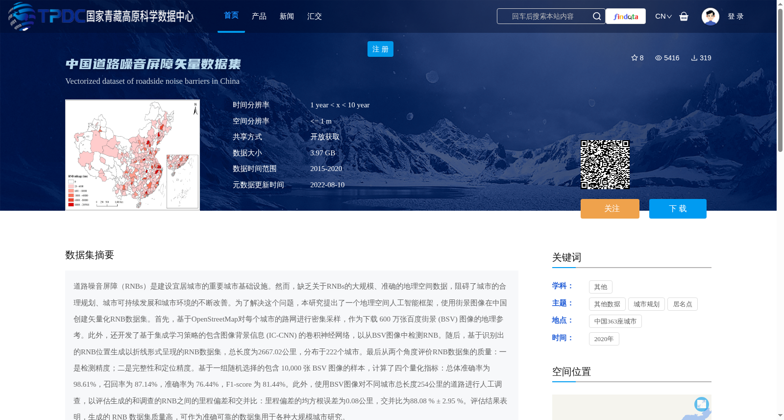
道路噪音屏障(RNBs)是建设宜居城市的重要城市基础设施。然而,缺乏关于RNBs的大规模、准确的地理空间数据,阻碍了城市的合理规划、城市可持续发展和城市环境的不断改善。为了解决这个问题,本研究提出了一个地理空间人工智能框架,使用街景图像在中国创建矢量化RNB数据集。首先,基于OpenStreetMap对每个城市的路网进行密集采样,作为下载 600 万张百度街景 (BSV) 图像的地理参考。此外,还开发了基于集成学习策略的包含图像背景信息 (IC-CNN) 的卷积神经网络,以从BSV图像中检测RNB。随后,基于识别出的RNB位置生成以折线形式呈现的RNB数据集,总长度为2667.02公里,分布于222个城市。最后从两个角度评价RNB数据集的质量:一是检测精度;二是完整性和定位精度。基于一组随机选择的包含 10,000 张 BSV 图像的样本,计算了四个量化指标:总体准确率为 98.61%,召回率为 87.14%,准确率为 76.44%,F1-score 为 81.44%。此外,使用BSV图像对不同城市总长度254公里的道路进行人工调查,以评估生成的和调查的RNB之间的里程偏差和交并比:里程偏差的均方根误差为0.08公里,交并比为88.08 % ± 2.95 %。评估结果表明,生成的 RNB 数据集质量高,可作为准确可靠的数据集用于各种大规模城市研究。
Road Noise Barriers (RNBs) are critical urban infrastructures for constructing livable cities. However, the lack of large-scale and accurate geospatial data on RNBs has hindered rational urban planning, sustainable urban development, and continuous improvement of the urban environment. To address this issue, this study proposes a geospatial artificial intelligence framework to create a vectorized RNB dataset in China using street view images. First, the road network of each city was densely sampled based on OpenStreetMap, which served as the georeference for downloading 6 million Baidu Street View (BSV) images. Furthermore, a convolutional neural network incorporating image context information (IC-CNN) based on an ensemble learning strategy was developed to detect RNBs from BSV images. Subsequently, a vectorized RNB dataset presented in the form of polylines was generated based on the identified RNB locations, with a total length of 2667.02 km and distributed across 222 cities. Finally, the quality of the RNB dataset was evaluated from two perspectives: detection accuracy, as well as completeness and positioning accuracy. Based on a randomly selected sample of 10,000 BSV images, four quantitative metrics were calculated: overall accuracy of 98.61%, recall of 87.14%, precision of 76.44%, and F1-score of 81.44%. In addition, manual surveys were conducted on roads with a total length of 254 km across different cities using BSV images to evaluate the mileage deviation and Intersection over Union (IoU) between the generated and surveyed RNBs: the root mean square error (RMSE) of mileage deviation was 0.08 km, and the Intersection over Union (IoU) was 88.08% ± 2.95%. The evaluation results demonstrate that the generated RNB dataset is of high quality and can serve as an accurate and reliable dataset for various large-scale urban studies.
提供机构:
陈旻
创建时间:
2021-12-21
搜集汇总
数据集介绍
背景与挑战
背景概述
该数据集是一个基于街景图像和地理空间人工智能框架创建的中国道路噪音屏障矢量数据集,覆盖222个城市,总长度2667.02公里,具有高精度(总体准确率98.61%)和完整性(交并比88.08% ± 2.95%),适用于城市规划和大规模城市研究。数据时间为2015-2020年,空间分辨率≤1米,格式为ESRI Shapefile,开放获取。
以上内容由遇见数据集搜集并总结生成


