全球陆表年度最大水覆盖产品(2000、2005、2010、2015、2021 年,30 米分辨率)(GAMLSW30)
收藏资源简介:
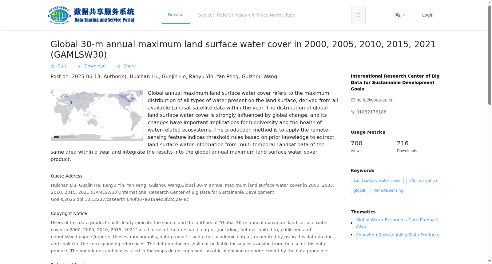
本数据产品定义的全球陆表年度最大水覆盖是指从年度内所有可获得的Landsat卫星数据中提取的陆地表面出现的各类水体的最大分布。全球陆表水覆盖分布受全球变化影响强烈,其自身变化又对生物多样性及与水有关的生态系统健康具有重要影响。产品生产方法是将基于先验知识的遥感特征指数阈值规则应用于同一地区多时相Landsat卫星数据进行陆表水信息提取,整合形成全球陆表年度最大水覆盖产品。
The global annual maximum land surface water coverage defined in this data product refers to the maximum spatial extent of all types of water bodies on terrestrial surfaces, which is extracted from all available Landsat satellite data acquired within a calendar year. The distribution of global land surface water is strongly influenced by global environmental change, and its spatiotemporal variations in turn have critical impacts on biodiversity and the health of water-associated ecosystems. The production workflow of this product applies prior knowledge-based threshold rules of remote sensing feature indices to multi-temporal Landsat satellite data of the same region to extract land surface water information, and integrates such extracted results to generate the global annual maximum land surface water coverage product.