鄱阳湖悬浮物基于VIIRS卫星遥感监测数据集(2012-2020年)
收藏国家地球系统科学数据中心2024-11-28 更新2024-11-23 收录
下载链接:
https://www.geodata.cn/data/datadetails.html?dataguid=171052036482420&docId=2117
下载链接
链接失效反馈官方服务:
资源简介:
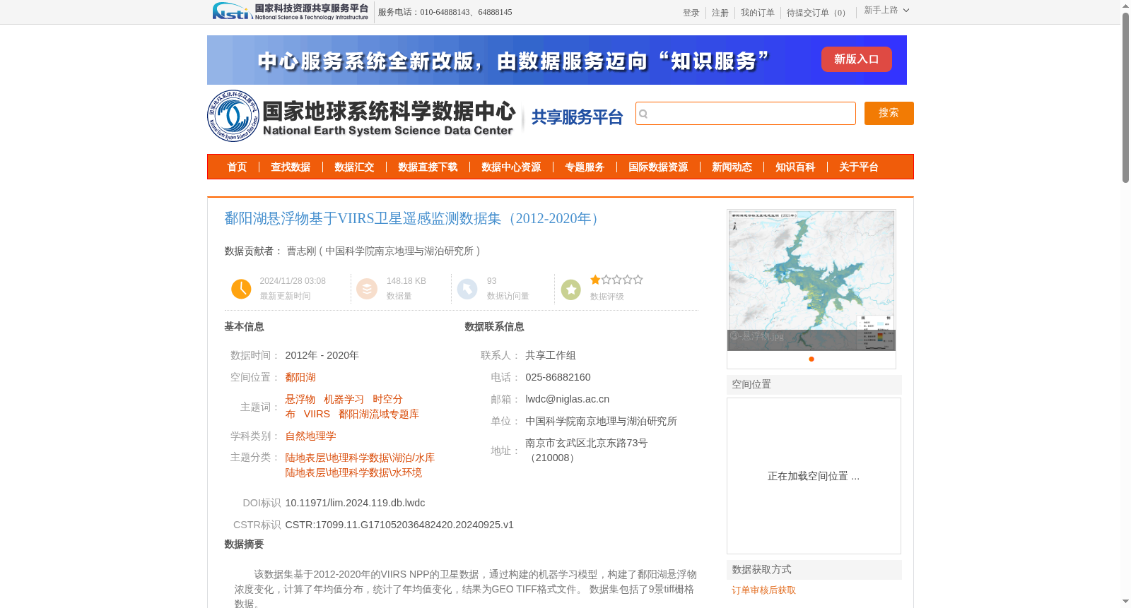
该数据集基于2012-2020年的VIIRS NPP的卫星数据,通过构建的机器学习模型,构建了鄱阳湖悬浮物浓度变化,计算了年均值分布,统计了年均值变化,结果为GEO TIFF格式文件。
数据集包括了9景tiff栅格数据。
This dataset is constructed based on the VIIRS NPP satellite observations from 2012 to 2020. With the developed machine learning model, we retrieved the spatiotemporal changes of suspended matter concentration in Poyang Lake, calculated its annual average spatial distribution, and statistically analyzed the temporal trends of annual average concentrations. All outputs are saved as GeoTIFF format files. The dataset contains 9 TIFF raster scenes.
提供机构:
中国科学院南京地理与湖泊研究所
创建时间:
2024-09-25
搜集汇总
数据集介绍
背景与挑战
背景概述
该数据集基于2012-2020年的VIIRS NPP卫星数据,通过机器学习模型构建了鄱阳湖悬浮物浓度变化,包括年均值分布和变化统计,数据格式为GEO TIFF,共包含9景栅格数据。模型反演精度相对误差为20.2%,适用于鄱阳湖流域的水环境研究。
以上内容由遇见数据集搜集并总结生成


