安徽1:100万市界数据集(2015年)
收藏国家地球系统科学数据中心2021-03-19 更新2024-03-04 收录
下载链接:
https://www.geodata.cn/data/datadetails.html?dataguid=219319184226500&docId=11141
下载链接
链接失效反馈官方服务:
资源简介:
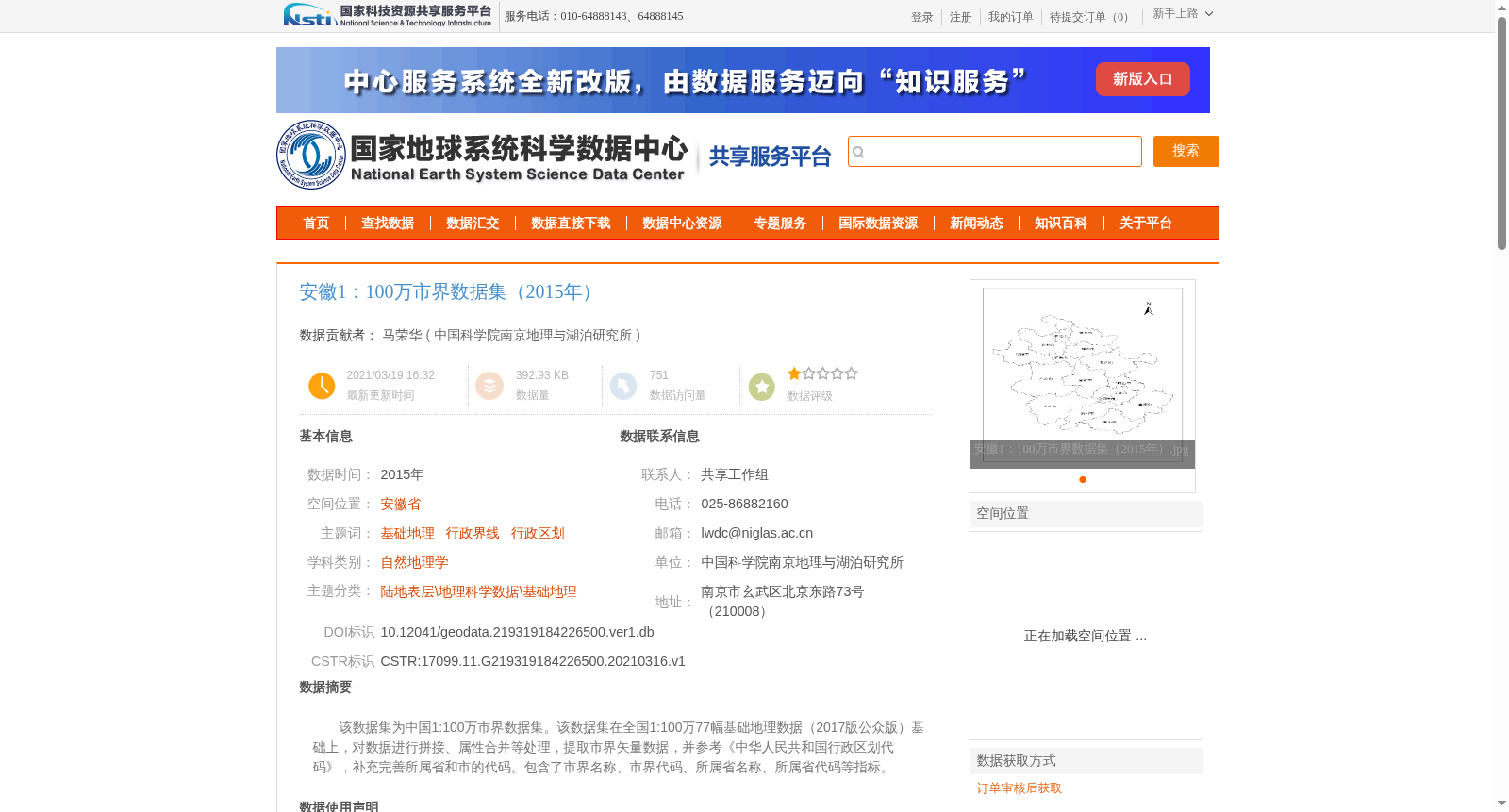
该数据集为中国1:100万市界数据集。该数据集在全国1:100万77幅基础地理数据(2017版公众版)基础上,对数据进行拼接、属性合并等处理,提取市界矢量数据,并参考《中华人民共和国行政区划代码》,补充完善所属省和市的代码。包含了市界名称、市界代码、所属省名称、所属省代码等指标。
This dataset is the 1:1,000,000 municipal boundary dataset of China. It is developed based on the national 1:1,000,000 basic geographic data (2017 public version) comprising 77 sheets. Processes including data mosaicking and attribute merging were conducted to extract the municipal boundary vector data, and the codes of the affiliated provinces and municipalities were supplemented and improved by referring to the *Codes for Administrative Divisions of the People's Republic of China*. The dataset includes attributes such as municipal boundary name, municipal boundary code, affiliated province name, and affiliated province code.
提供机构:
中国科学院南京地理与湖泊研究所
创建时间:
2021-03-16
搜集汇总
数据集介绍
背景与挑战
背景概述
该数据集是2015年安徽省的1:100万市级行政边界矢量数据,基于全国1:100万基础地理数据(2017版公众版)处理而成,包含市界名称、代码、所属省名称和代码等属性,采用2000国家大地坐标系,数据质量优良,适用于地理和行政区划相关研究。
以上内容由遇见数据集搜集并总结生成


