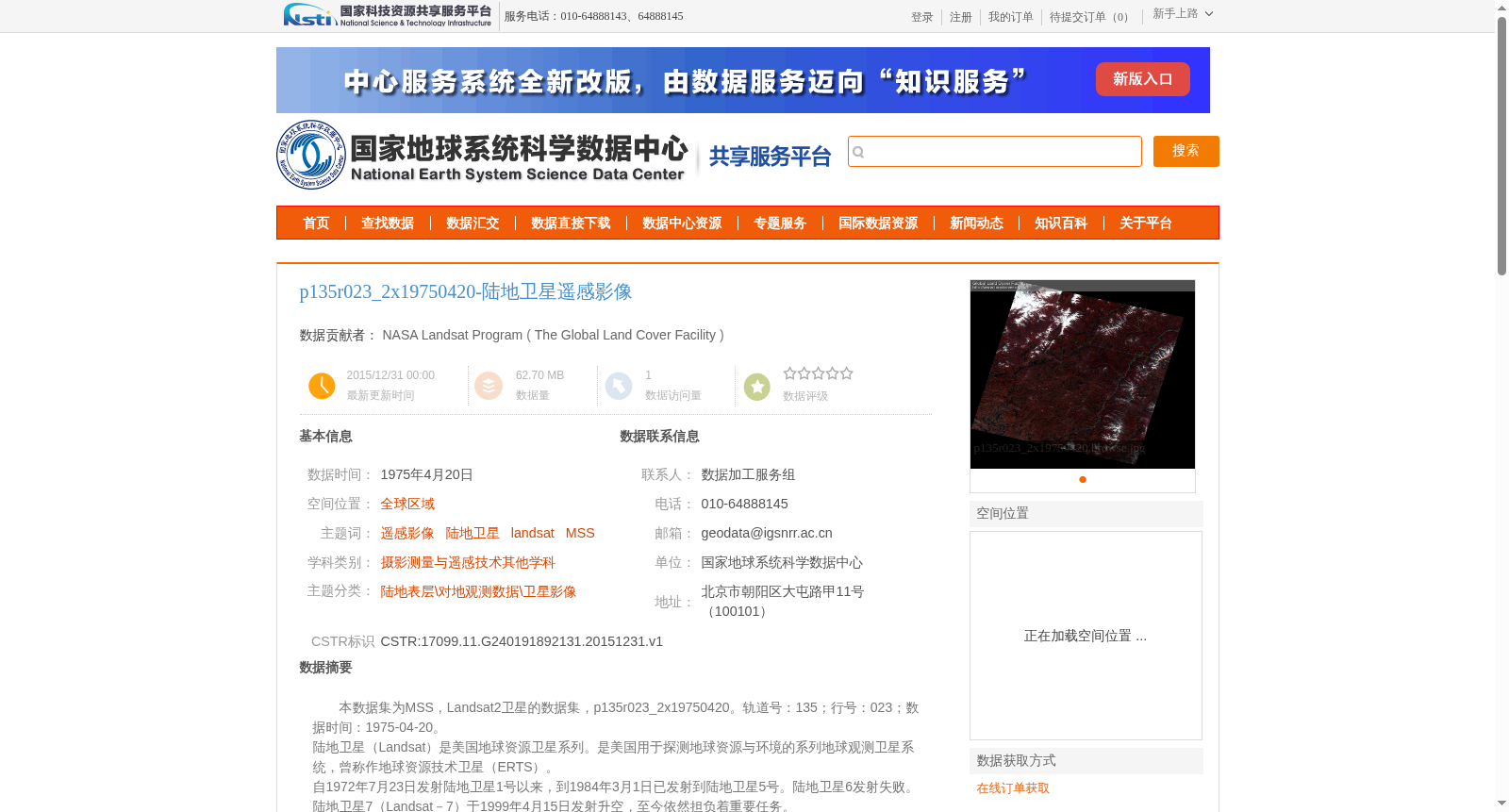
p135r023_2x19750420-陆地卫星遥感影像
收藏资源简介:
本数据集为MSS,Landsat2卫星的数据集,p135r023_2x19750420。轨道号:135;行号:023;数据时间:1975-04-20。<br>陆地卫星(Landsat)是美国地球资源卫星系列。是美国用于探测地球资源与环境的系列地球观测卫星系统,曾称作地球资源技术卫星(ERTS)。<br>自1972年7月23日发射陆地卫星1号以来,到1984年3月1日已发射到陆地卫星5号。陆地卫星6发射失败。陆地卫星7(Landsat-7)于1999年4月15日发射升空,至今依然担负着重要任务。<br>在数据产品方面,Landsat-7与Landsat-5的最主要差别有:增加了分辨率为15米的全色波段(PAN波段);波段6的数据分低增益和高增益数据,分辨率从120米提高到60米。
This dataset is an MSS dataset acquired by the Landsat 2 satellite, with the unique identifier p135r023_2x19750420. Its orbit number is 135, row number is 023, and the data acquisition date is 1975-04-20. The Landsat series, formerly known as the Earth Resources Technology Satellite (ERTS), is a series of Earth observation satellite systems developed by the United States for detecting Earth's resources and environment. Since the launch of Landsat 1 on July 23, 1972, up to March 1, 1984, the program had launched up to Landsat 5. The launch of Landsat 6 ended in failure. Landsat 7 was launched on April 15, 1999, and still performs important observational missions to this day. In terms of data products, the most notable differences between Landsat-7 and Landsat-5 are: Landsat-7 adds a 15-meter-resolution panchromatic band (PAN band); the data of Band 6 is divided into low-gain and high-gain datasets, with its resolution increased from 120 meters to 60 meters.