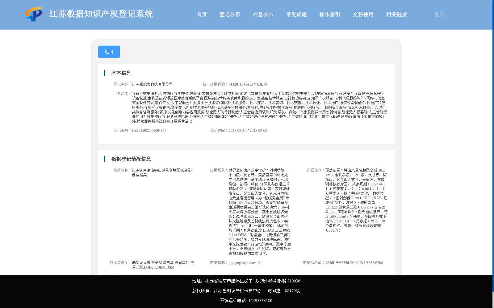
江苏省南京市钟山风景名胜区低空影像数据集
收藏资源简介:
覆盖范围:钟山风景名胜区全域 30.2 km²,含明孝陵、中山陵、灵谷寺、梅花山、紫金山天文台、美龄宫、紫霞湖等核心片区。 采集周期:2025 年 3 月(梅花节)、7 月(夏季)、11 月(秋季)三期;共 60 架次。 数据类型: • 正射影像 2 cm(TIFF,RGB+红边+近红外五波段) • 倾斜影像 → LOD2.5 级实景三维(OSGB,含古建斗拱、梅花单株) • 激光雷达点云:密度 500 pts/m²,含强度、多回波及林下地形(LAS 1.4) • 元数据:POS、20 个像控点、气象、林分同步调查表(JSON)
Coverage: The entire 30.2 km² of the Zhongshan Scenic Area, including core scenic zones such as Ming Xiaoling Mausoleum, Sun Yat-sen Mausoleum, Linggu Temple, Meihua Mountain, Purple Mountain Observatory, Meiling Palace, Zixia Lake and other key sites. Collection Period: Three data acquisition phases carried out in March 2025 (Plum Blossom Festival), July 2025 (Summer) and November 2025 (Autumn), with a total of 60 sorties. Data Types: • Orthophotos with a ground sampling distance of 2 cm: TIFF format, 5-band including RGB, red edge and near-infrared channels • Oblique imagery: LOD2.5 level real-scene 3D models in OSGB format, covering details of ancient architectural brackets and individual plum blossom plants • LiDAR point clouds: density of 500 points per square meter, with intensity values, multiple echoes and understory terrain data, in LAS 1.4 format • Metadata: POS (Position and Orientation System) data, 20 ground control points, meteorological data and synchronous survey forms for forest stands, all stored in JSON format