
Global Surface Water Explorer
收藏知名数据库2026-06-17 收录
官方服务:
资源简介:
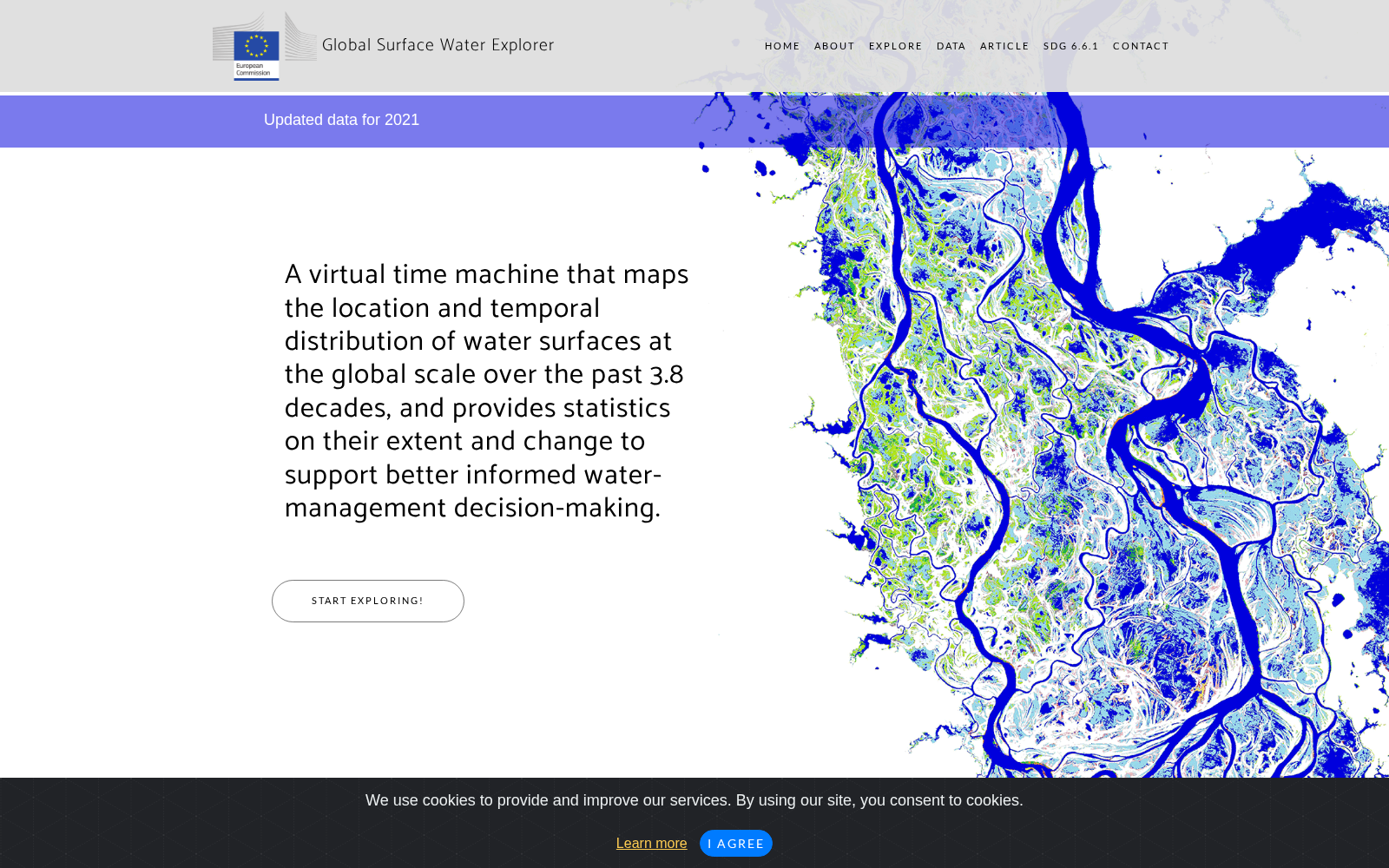
Global Surface Water Explorer展示全球地表水出现频率、季节性、变化、转移和长期历史变化等遥感数据;由欧盟委员会联合研究中心提供,用于水资源监测、湿地研究和环境变化评估。
The Global Surface Water Explorer presents remote sensing data including global surface water occurrence frequency, seasonality, dynamics, shifts, and long-term historical changes. It is provided by the Joint Research Centre of the European Commission, and is intended for water resource monitoring, wetland research, and environmental change assessment.
提供机构:
欧盟委员会联合研究中心(JRC)搜集汇总
数据集介绍
背景与挑战
背景概述
Global Surface Water Explorer是一个由欧盟委员会联合研究中心开发的全球地表水遥感数据集,它通过Landsat影像映射过去38年全球水面的位置和时间分布,并提供统计信息以支持水资源管理、气候建模和环境保护等应用。该数据集免费开放,旨在帮助用户监测水资源的长期变化,并支持可持续发展目标SDG 6.6.1的实现。
以上内容由遇见数据集搜集并总结生成


