青藏高原草地资源类型分布数据集(2020)
收藏资源简介:
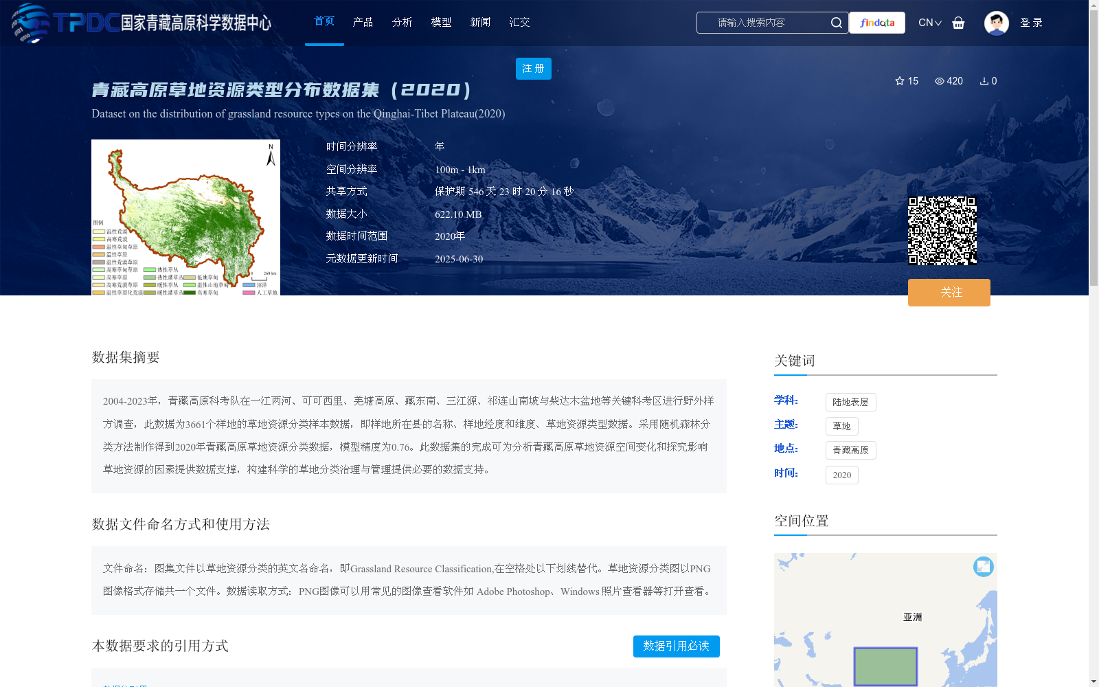
2004-2023年,青藏高原科考队在一江两河、可可西里、羌塘高原、藏东南、三江源、祁连山南坡与柴达木盆地等关键科考区进行野外样方调查,此数据为3661个样地的草地资源分类样本数据,即样地所在县的名称、样地经度和维度、草地资源类型数据。采用随机森林分类方法制作得到2020年青藏高原草地资源分类数据,模型精度为0.76。此数据集的完成可为分析青藏高原草地资源空间变化和探究影响草地资源的因素提供数据支撑,构建科学的草地分类治理与管理提供必要的数据支持。
From 2004 to 2023, the Tibetan Plateau Scientific Expedition Team carried out field quadrat surveys in key expedition regions including the Yarlung Zangbo River and its two tributaries (locally known as "One River and Two Tributaries"), Hoh Xil, the Qiangtang Plateau, Southeast Tibet, the Three-River Source Region, the southern slope of the Qilian Mountains, and the Qaidam Basin. This dataset contains grassland resource classification sample data from 3,661 plots, covering the county name where each plot is located, the longitude and latitude of the plot, and grassland resource type data. The 2020 Tibetan Plateau grassland resource classification dataset was developed using the random forest classification method, with a model accuracy of 0.76. This dataset can provide data support for analyzing the spatial changes of grassland resources on the Tibetan Plateau and exploring the factors affecting grassland resources, as well as offering necessary data basis for formulating scientific grassland classification governance and management strategies.