LADI v2
收藏资源简介:
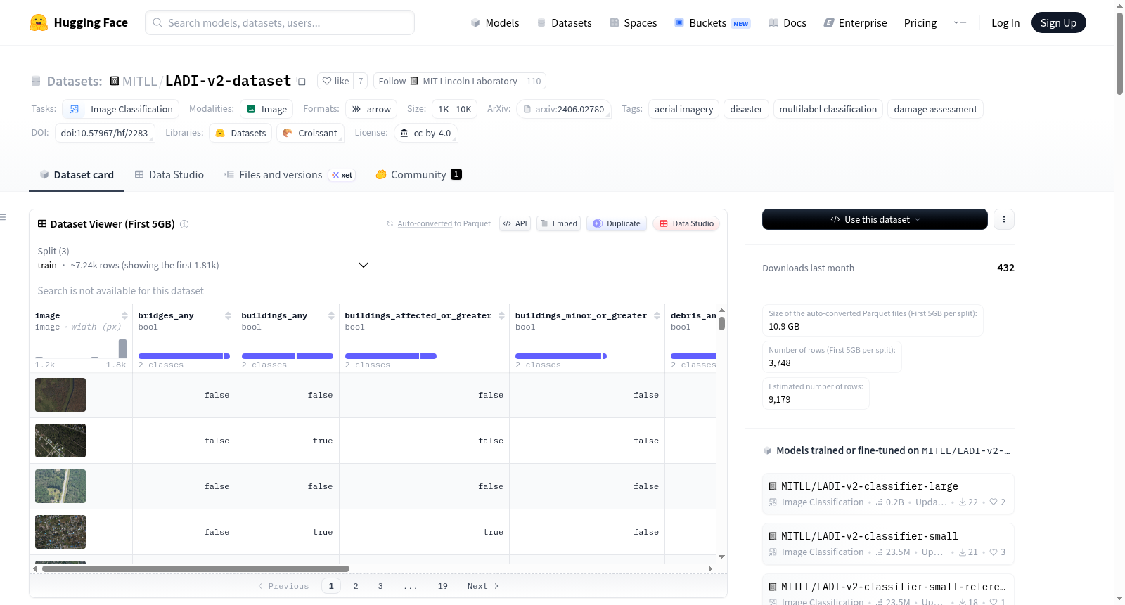
LADI v2(低空灾难影像数据集版本2)由美国联邦紧急事务管理署(FEMA)的民间空中巡逻队(CAP)创建,包含约10,000张美国境内多角度、多灾害类型的灾难后低空航拍图像。这些图像由受过FEMA初步损害评估流程培训的CAP志愿者进行高质量的多标签分类标注。数据集旨在支持计算机视觉模型的发展,以识别和评估灾难后的损害情况,提高应急管理操作的效率和效果。LADI v2特别强调了训练和测试集之间的真实分布变化,为评估领域适应技术提供了宝贵的基准。
LADI v2 (Low-Altitude Disaster Imagery Dataset Version 2) was created by the Civil Air Patrol (CAP) under the United States Federal Emergency Management Agency (FEMA). It contains approximately 10,000 post-disaster low-altitude aerial images across the United States, featuring multiple viewing angles and diverse disaster types. These images were annotated with high-quality multi-label classifications by CAP volunteers who received training on FEMA's preliminary damage assessment procedures. The dataset is designed to support the development of computer vision models for identifying and assessing post-disaster damage, thereby improving the efficiency and effectiveness of emergency management operations. Notably, LADI v2 places special emphasis on the realistic distribution shift between the training and test sets, serving as a valuable benchmark for evaluating domain adaptation techniques.