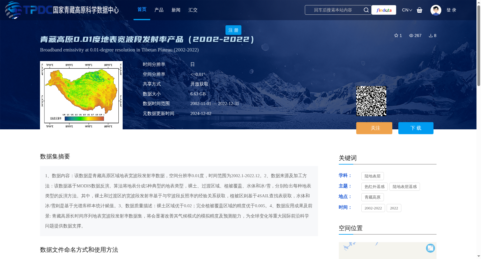
青藏高原0.01度地表宽波段发射率产品(2002-2022)
收藏资源简介:
1、数据内容:该数据是青藏高原区域地表宽波段发射率数据,空间分辨率0.01度,时间范围为2002.1-2022.12。2、数据来源及加工方法:该数据基于MODIS数据反演。算法将地表分成5种典型的地表类型,裸土、过渡区域、植被覆盖、水体和冰/雪,分别给出每种地表类型的反演方法。其中,裸土和过渡区的宽波段发射率基于与窄波段反照率的经验关系获取,植被区则基于4SAIL查找表获取,水体和冰/雪则是基于光谱库样本统计赋值。3、数据质量描述:裸土区域优于0.02;完全植被覆盖区域的精度优于0.005。4、数据应用成果及前景: 青藏高原长时间序列地表宽波段发射率数据集,将会显著改善其气候模式的模拟精度及预测能力,为全球变化等重大国际前沿科学问题提供数据支撑。
1. Data Content: This dataset contains surface broadband emissivity data over the Tibetan Plateau, with a spatial resolution of 0.01 degrees and a temporal coverage from January 2002 to December 2022. 2. Data Source and Processing Method: This dataset is retrieved based on MODIS data. The algorithm divides the land surface into five typical surface types: bare soil, transition zones, vegetated areas, water bodies and ice/snow, and provides dedicated retrieval methods for each type. Specifically, the broadband emissivity of bare soil and transition zones is obtained via the empirical relationship with narrow-band albedo; the emissivity of vegetated areas is derived from the 4SAIL lookup table; and the emissivity of water bodies and ice/snow is statistically assigned using samples from spectral libraries. 3. Data Quality Description: The accuracy is better than 0.02 for bare soil areas, and better than 0.005 for fully vegetated regions. 4. Data Application Achievements and Prospects: The long-time-series surface broadband emissivity dataset over the Tibetan Plateau will significantly improve the simulation accuracy and predictive capability of regional climate models, and provide data support for major international frontier scientific issues such as global change research.