雅鲁藏布江流域实测土壤厚度、土壤物理性质、土壤水力特性数据集(2021)
收藏国家青藏高原科学数据中心2022-06-08 更新2024-03-01 收录
下载链接:
https://data.tpdc.ac.cn/zh-hans/data/cd2eeb08-5bf5-4a9e-8545-17090aaf6656
下载链接
链接失效反馈官方服务:
资源简介:
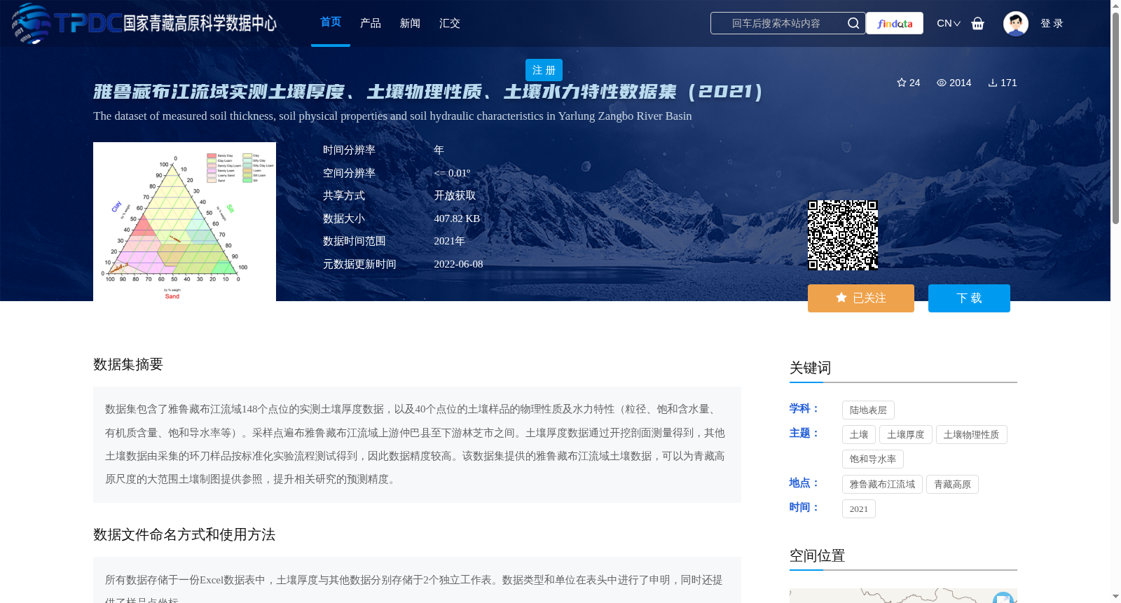
数据集包含了雅鲁藏布江流域148个点位的实测土壤厚度数据,以及40个点位的土壤样品的物理性质及水力特性(粒径、饱和含水量、有机质含量、饱和导水率等)。采样点遍布雅鲁藏布江流域上游仲巴县至下游林芝市之间。土壤厚度数据通过开挖剖面测量得到,其他土壤数据由采集的环刀样品按标准化实验流程测试得到,因此数据精度较高。该数据集提供的雅鲁藏布江流域土壤数据,可以为青藏高原尺度的大范围土壤制图提供参照,提升相关研究的预测精度。
This dataset contains field-measured soil thickness data from 148 sampling sites across the Yarlung Zangbo River Basin, as well as physical properties and hydraulic characteristics (including particle size, saturated water content, organic matter content, saturated hydraulic conductivity, etc.) of soil samples from 40 sampling sites. The sampling sites are distributed throughout the Yarlung Zangbo River Basin, spanning from Zhongba County in the upper reaches to Nyingchi City in the lower reaches. Soil thickness data was obtained by measuring excavated soil profiles, while other soil properties were tested using collected cutting ring samples following standardized experimental procedures, ensuring high data accuracy. The soil data of the Yarlung Zangbo River Basin provided by this dataset can serve as a reference for large-scale soil mapping at the Qinghai-Tibet Plateau scale, and improve the prediction accuracy of relevant research studies.
提供机构:
刘金涛
创建时间:
2022-05-29
搜集汇总
数据集介绍
背景与挑战
背景概述
该数据集包含雅鲁藏布江流域148个点位的实测土壤厚度数据,以及40个点位的土壤物理性质及水力特性数据,采样点覆盖流域上下游。数据通过标准化实验流程获得,精度较高,可用于青藏高原土壤制图及相关研究。
以上内容由遇见数据集搜集并总结生成


