RCP情景下中国30米土地利用模拟数据集(2100年)
收藏国家地球系统科学数据中心2022-11-03 更新2024-04-21 收录
下载链接:
https://www.geodata.cn/data/datadetails.html?dataguid=8841321110866&docId=7051
下载链接
链接失效反馈官方服务:
资源简介:
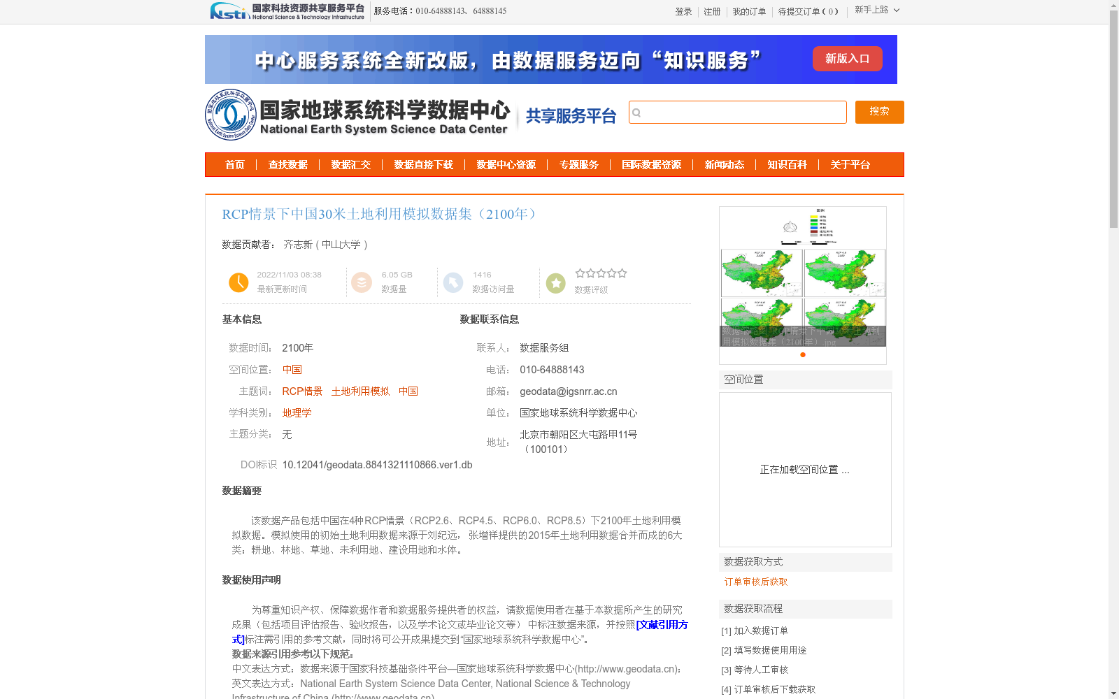
该数据产品包括中国在4种RCP情景(RCP2.6、RCP4.5、RCP6.0、RCP8.5)下2100年土地利用模拟数据。模拟使用的初始土地利用数据来源于刘纪远, 张增祥提供的2015年土地利用数据合并而成的6大类:耕地、林地、草地、未利用地、建设用地和水体。
This data product includes land use simulation data for China in the year 2100 under four RCP scenarios (RCP2.6, RCP4.5, RCP6.0, RCP8.5). The initial land use data used for the simulation was compiled from the 2015 land use data provided by Liu Jiyuan and Zhang Zengxiang, which is categorized into six major types: cultivated land, forest land, grassland, unused land, construction land, and water bodies.
提供机构:
中山大学
创建时间:
2022-11-03
搜集汇总
数据集介绍
背景与挑战
背景概述
该数据集提供了中国在四种RCP情景下2100年的30米分辨率土地利用模拟数据,覆盖耕地、林地、草地、未利用地、建设用地和水体六大类。数据基于2015年土地利用数据,通过多元回归模型和空间驱动因子进行模拟,并经过严格的质量控制。
以上内容由遇见数据集搜集并总结生成


