海南岛Landsat系列卫星数据集
收藏地球大数据科学工程2024-04-26 收录
下载链接:
https://data.casearth.cn/sdo/detail/64300e6e819aec0654af625c
下载链接
链接失效反馈官方服务:
资源简介:
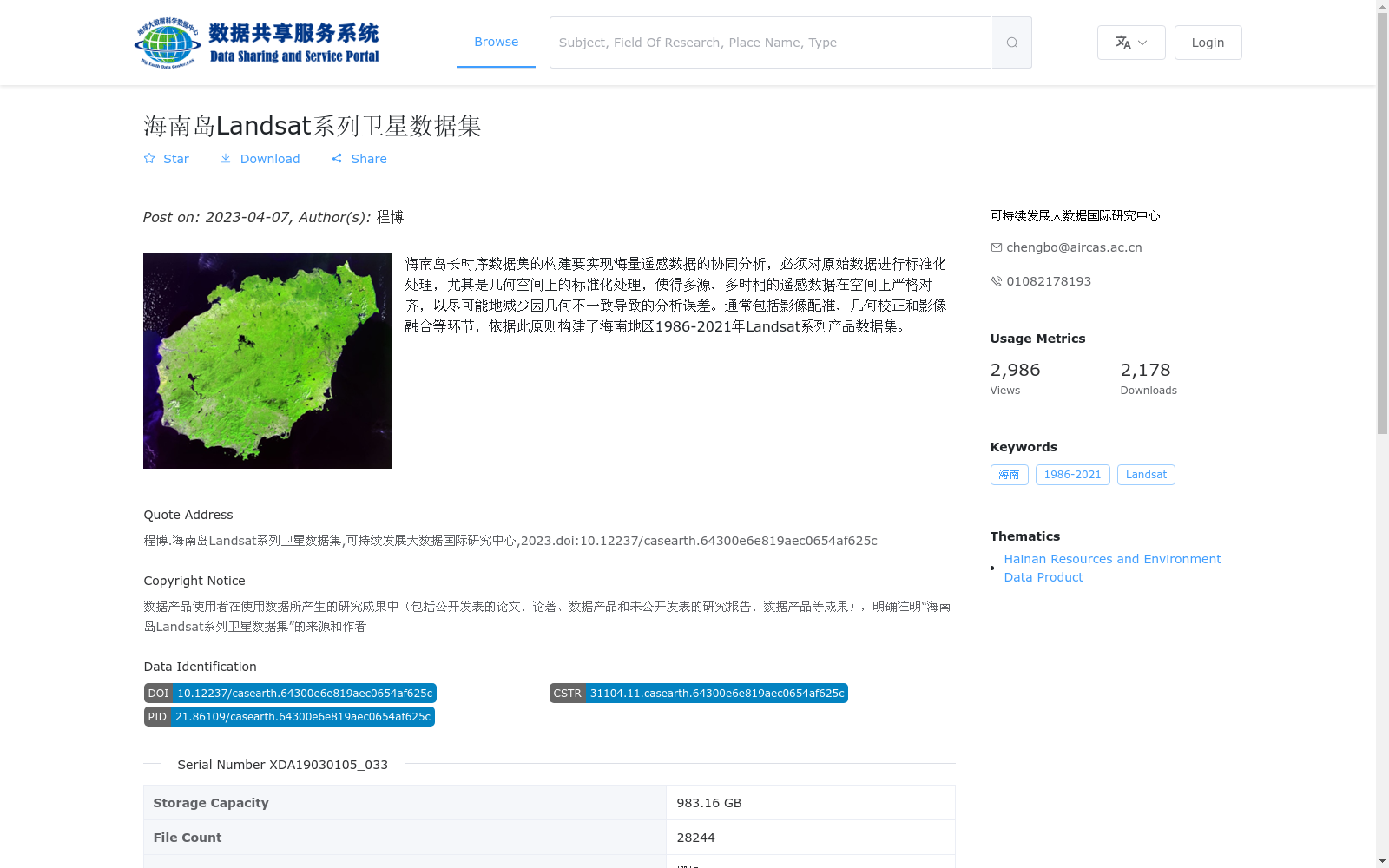
海南岛长时序数据集的构建要实现海量遥感数据的协同分析,必须对原始数据进行标准化处理,尤其是几何空间上的标准化处理,使得多源、多时相的遥感数据在空间上严格对齐,以尽可能地减少因几何不一致导致的分析误差。通常包括影像配准、几何校正和影像融合等环节,依据此原则构建了海南地区1986-2021年Landsat系列产品数据集。
To enable collaborative analysis of massive remote sensing data for the construction of the long-time series dataset of Hainan Island, standardization processing must be performed on the original data, particularly spatial geometric standardization, to ensure that multi-source and multi-temporal remote sensing data are strictly spatially aligned, thereby minimizing analysis errors caused by geometric inconsistencies. This process typically includes steps such as image registration, geometric correction and image fusion. Following this principle, a Landsat series product dataset of Hainan Island spanning from 1986 to 2021 was constructed.
提供机构:
可持续发展大数据国际研究中心
搜集汇总
数据集介绍
背景与挑战
背景概述
该数据集是海南岛1986-2021年的Landsat系列卫星数据,经过标准化处理以支持多源、多时相遥感数据的协同分析。数据集包含28244个GeoTiff格式文件,总存储容量为983.16 GB,由可持续发展大数据国际研究中心发布。
以上内容由遇见数据集搜集并总结生成


