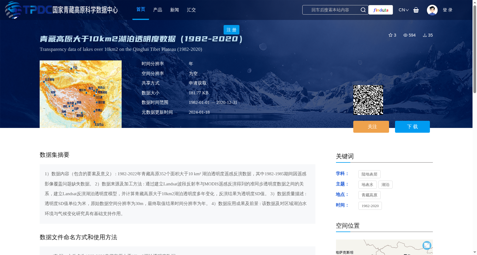
青藏高原大于10km2湖泊透明度数据(1982-2020)
收藏资源简介:
1)数据内容(包含的要素及意义) : 1982-2022年青藏高原352个面积大于10 km² 湖泊透明度遥感反演数据,其中1982-1985期间因遥感影像覆盖问题缺失数据。 2)数据来源及加工方法 : 通过建立Landsat波段反射率与MODIS遥感反演得到的准同步透明度数据之间的关系,建立Landsat反演湖泊透明度模型,并计算青藏高原大于10km2湖泊透明度多年变化,反演结果为透明度SD值。 3)数据质量描述 : 透明度SD值单位为米,原始数据空间分辨率为30m,最终取值结果时间分辨率为年。 4)数据应用成果及前景 : 该数据及对区域湖泊水环境与气候变化研究具有基础支持作用。
1) Data Content (Included Elements and Their Significance): Remote sensing inversion data of lake transparency for 352 lakes with an area greater than 10 km² on the Qinghai-Tibet Plateau spanning from 1982 to 2022. Data is missing during 1982-1985 due to coverage gaps in remote sensing imagery. 2) Data Source and Processing Methodology: A Landsat-based lake transparency inversion model was established by correlating the band reflectance of Landsat imagery with the quasi-synchronous transparency data retrieved via MODIS remote sensing. The multi-year variations in lake transparency for lakes on the Qinghai-Tibet Plateau with an area larger than 10 km² were then calculated, and the inversion results are expressed as transparency SD values. 3) Data Quality Description: The unit of the transparency SD value is meter. The original data has a spatial resolution of 30 m, and the temporal resolution of the final retrieved results is annual. 4) Data Application Achievements and Prospects: This dataset provides fundamental support for studies on regional lake water environment and climate change.