IOOS Glider - Calvert Island Line - dfo-hal1002-20240702T1839
收藏资源简介:
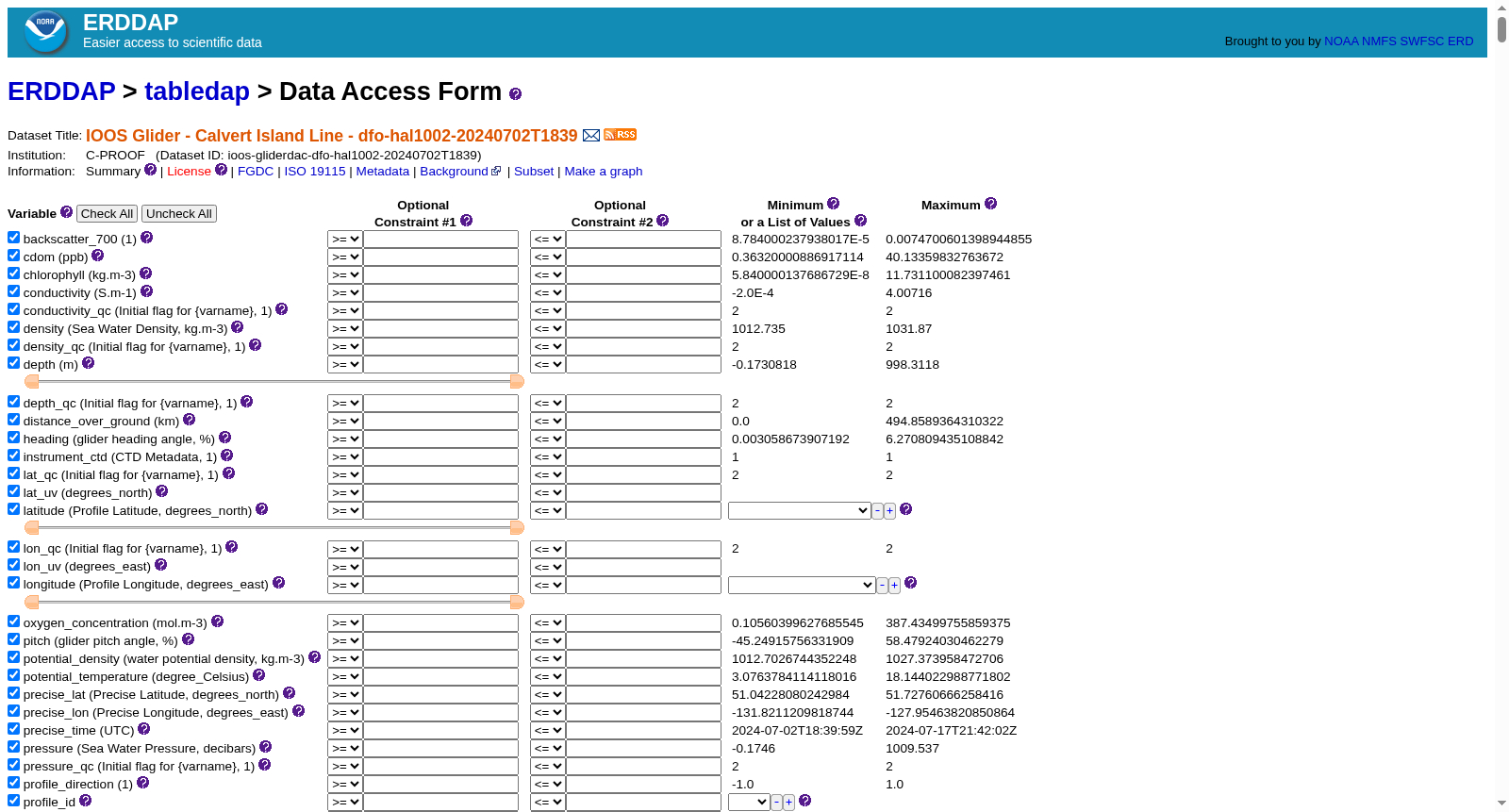
Glider deployment south of Haida Gwaii. Will do a section out and back, and then return to Calvert Island.cdm_data_type = TrajectoryProfileVARIABLES:backscatter_700 (700 nm wavelength backscatter, 1)cdom (ppb)chlorophyll (kg.m-3)conductivity (Sea Water Electrical Conductivity, S.m-1)conductivity_qc (Initial flag for {varname}, 1)density (Sea Water Density, kg.m-3)density_qc (Initial flag for {varname}, 1)depth (m)depth_qc (Initial flag for {varname}, 1)distance_over_ground (distance over ground flown since mission start, km)heading (glider heading angle, %)instrument_ctd (CTD Metadata, 1)lat_qc (Initial flag for {varname}, 1)lat_uv (Depth-averaged Latitude, degrees_north)latitude (Profile Latitude, degrees_north)lon_qc (Initial flag for {varname}, 1)lon_uv (Depth-averaged Longitude, degrees_east)longitude (Profile Longitude, degrees_east)oxygen_concentration (mol.m-3)pitch (glider pitch angle, %)potential_density (water potential density, kg.m-3)potential_temperature (water potential temperature, degree_Celsius)precise_lat (Precise Latitude, degrees_north)precise_lon (Precise Longitude, degrees_east)precise_time (seconds since 1970-01-01T00:00:00Z)pressure (Sea Water Pressure, decibars)... (44 more variables)
水下滑翔机(Glider)部署于海达瓜依(Haida Gwaii)以南海域。本次任务将执行往返剖面航行,随后返回卡尔弗特岛(Calvert Island)。 公共数据模型数据类型(cdm_data_type)为轨迹剖面(TrajectoryProfile)。 变量列表: 后向散射700(backscatter_700):700纳米波长后向散射,取值为1 有色溶解有机物(cdom):浓度单位为十亿分之一(ppb) 叶绿素(chlorophyll):单位为千克每立方米(kg·m⁻³) 海水电导率(conductivity):单位为西门子每米(S·m⁻¹) 电导率质控标记(conductivity_qc):{varname}初始质控标记,取值为1 海水密度(density):单位为千克每立方米(kg·m⁻³) 密度质控标记(density_qc):{varname}初始质控标记,取值为1 水深(depth):单位为米(m) 水深质控标记(depth_qc):{varname}初始质控标记,取值为1 地面累计航程(distance_over_ground):任务启动以来的地面航行累计航程,单位为千米(km) 滑翔机航向(heading):滑翔机航向角,单位为百分比(%) CTD元数据(instrument_ctd):CTD元数据,取值为1 纬度质控标记(lat_qc):{varname}初始质控标记,取值为1 深度平均纬度(lat_uv):深度平均纬度,单位为北纬度数(degrees_north) 剖面纬度(latitude):剖面纬度,单位为北纬度数(degrees_north) 经度质控标记(lon_qc):{varname}初始质控标记,取值为1 深度平均经度(lon_uv):深度平均经度,单位为东经度数(degrees_east) 剖面经度(longitude):剖面经度,单位为东经度数(degrees_east) 氧浓度(oxygen_concentration):单位为摩尔每立方米(mol·m⁻³) 滑翔机俯仰角(pitch):滑翔机俯仰角,单位为百分比(%) 海水势密度(potential_density):单位为千克每立方米(kg·m⁻³) 海水势温(potential_temperature):单位为摄氏度(degree_Celsius) 精确纬度(precise_lat):精确纬度,单位为北纬度数(degrees_north) 精确经度(precise_lon):精确经度,单位为东经度数(degrees_east) 精确时间(precise_time):自1970-01-01T00:00:00Z起的秒数 海水压力(pressure):单位为分巴(decibars) ……(另有44个变量)