中国东部海区及邻域地质地球物理系列图集
收藏国家地球系统科学数据中心2022-12-14 更新2024-03-04 收录
下载链接:
https://www.geodata.cn/data/datadetails.html?dataguid=245762586538602&docId=6854
下载链接
链接失效反馈官方服务:
资源简介:
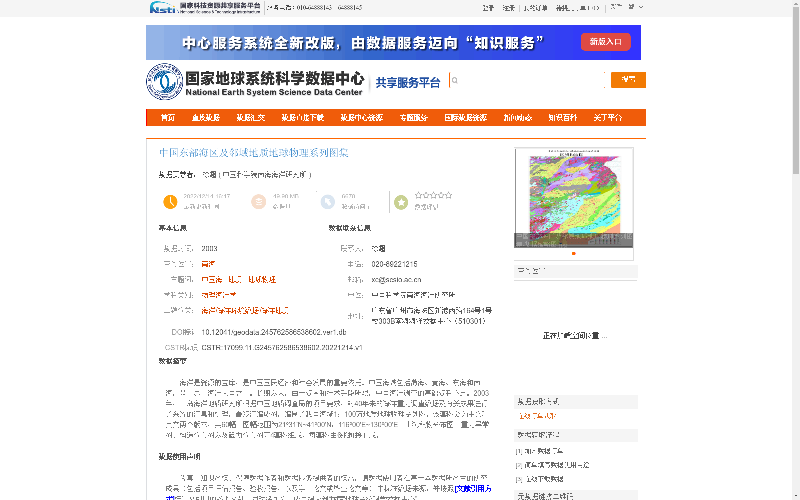
海洋是资源的宝库,是中国国民经济和社会发展的重要依托。中国海域包括渤海、黄海、东海和南海,是世界上海洋大国之一。长期以来,由于资金和技术手段所限,中国海洋调查的基础资料不足。2003年,青岛海洋地质研究所根据中国地质调查局的项目要求,对40年来的海洋重力调查数据及有关成果进行了系统的汇集和梳理,最终汇编成图,编制了我国海域1:100万地质地球物理系列图。该套图分为中文和英文两个版本,共60幅。图幅范围为21º31'N~41º00'N,116º00'E~130º00'E。由沉积物分布图、重力异常图、构造分布图以及磁力分布图等4套图组成,每套图由6张拼接而成。
Oceans serve as a treasure trove of resources and a critical underpinning for China's national economic and social development. China, which has sea areas including the Bohai Sea, Yellow Sea, East China Sea, and South China Sea, ranks among the world's major maritime powers. For a long time, limited by funding and technical capabilities, basic data from China's marine surveys was insufficient. In 2003, in accordance with the project requirements of the China Geological Survey, the Qingdao Institute of Marine Geology systematically collected and organized 40 years of marine gravity survey data and relevant achievements, eventually compiling them into maps and developing the 1:1,000,000 scale geological and geophysical series maps of China's sea areas. This set of maps has two versions, Chinese and English, with a total of 60 sheets. The map coverage ranges from 21°31'N to 41°00'N and 116°00'E to 130°00'E. The series consists of four map sets: sediment distribution maps, gravity anomaly maps, tectonic distribution maps, and magnetic distribution maps, with each set composed of 6 joined sheets.
提供机构:
中国科学院南海海洋研究所
创建时间:
2022-12-14
搜集汇总
数据集介绍
背景与挑战
背景概述
该数据集是2003年编制的中国东部海区及邻域地质地球物理系列图集,基于40年海洋重力调查数据系统汇编而成,包含沉积物分布、重力异常、构造和磁力四类图件,共60幅,覆盖南海等区域,旨在提供基础海洋地质地球物理信息。
以上内容由遇见数据集搜集并总结生成


