长江流域0.008333°分辨率数字河网数据集(2020年)
收藏国家地球系统科学数据中心2022-07-11 更新2024-03-04 收录
下载链接:
https://www.geodata.cn/data/datadetails.html?dataguid=9971461&docId=7384
下载链接
链接失效反馈官方服务:
资源简介:
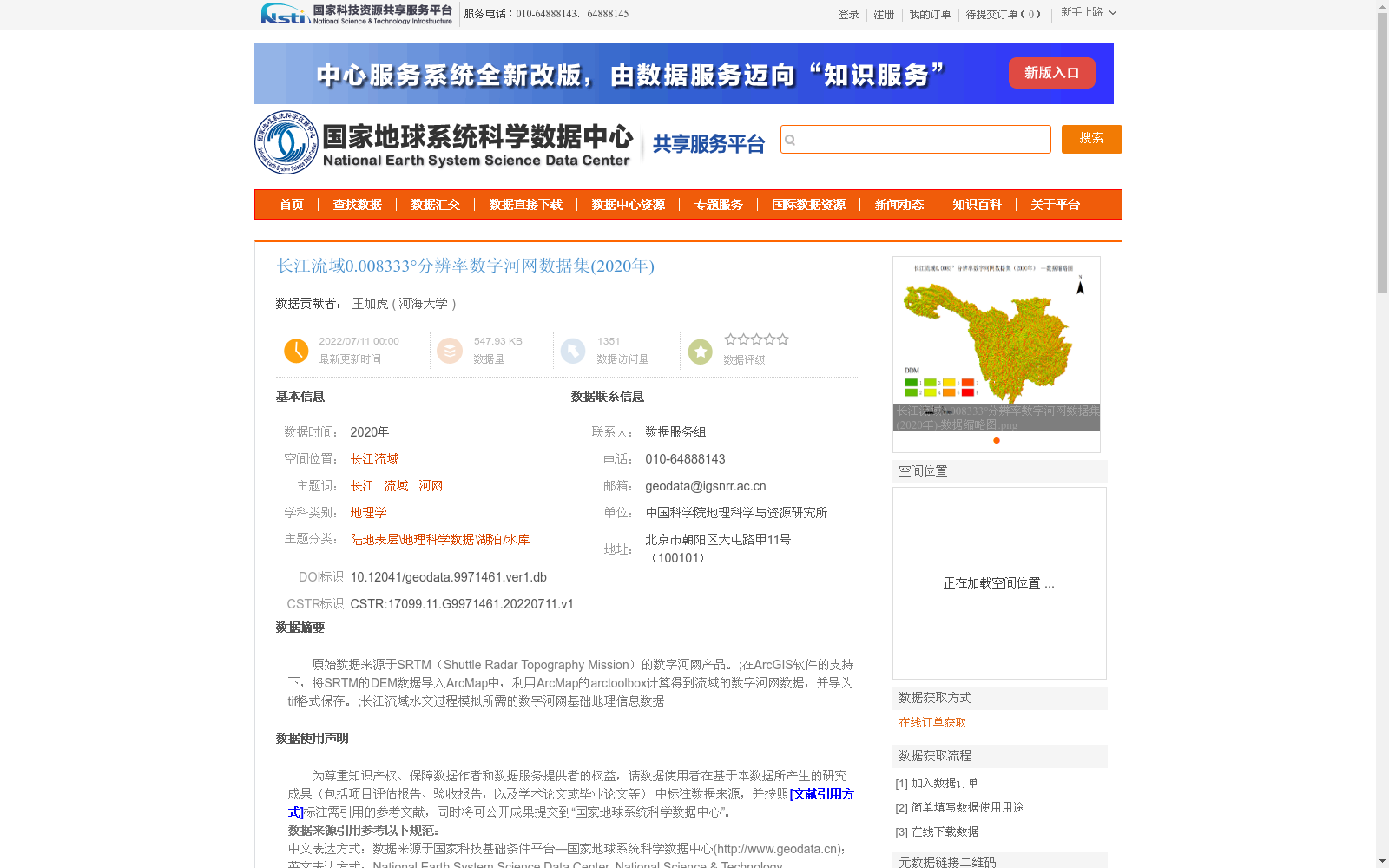
原始数据来源于SRTM(Shuttle Radar Topography Mission)的数字河网产品。;在ArcGIS软件的支持下,将SRTM的DEM数据导入ArcMap中,利用ArcMap的arctoolbox计算得到流域的数字河网数据,并导为tif格式保存。;长江流域水文过程模拟所需的数字河网基础地理信息数据
The original data is sourced from the digital river network product of SRTM (Shuttle Radar Topography Mission); With the support of ArcGIS software, the SRTM DEM data was imported into ArcMap, and the digital river network data of the basin was calculated using ArcMap's ArcToolbox, then exported and saved in TIFF format; This is a basic geospatial information dataset of digital river networks required for hydrological process simulation in the Yangtze River Basin.
提供机构:
河海大学
创建时间:
2022-07-11
搜集汇总
数据集介绍
背景与挑战
背景概述
该数据集是2020年长江流域0.008333°分辨率的数字河网数据,基于SRTM数据通过ArcGIS处理生成,主要用于水文过程模拟研究。数据以tif格式存储,具有较高的精度和质量保证。
以上内容由遇见数据集搜集并总结生成


