RSC: 2025年3月28日缅甸震前高分一号/二号/三号遥感影像数据集
收藏国家青藏高原科学数据中心2025-03-30 更新2025-04-05 收录
下载链接:
https://data.tpdc.ac.cn/zh-hans/data/4f6743be-99cb-42fe-9d3b-cb63aef8ead8
下载链接
链接失效反馈官方服务:
资源简介:
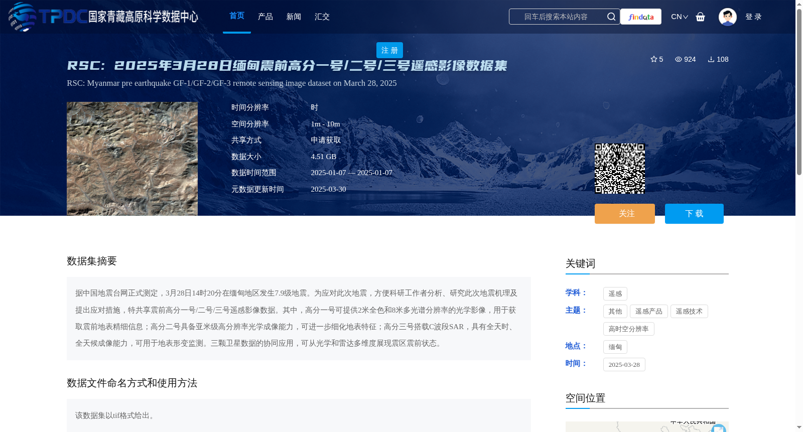
据中国地震台网正式测定,3月28日14时20分在缅甸地区发生7.9级地震。为应对此次地震,方便科研工作者分析、研究此次地震机理及提出应对措施,特共享震前高分一号/二号/三号遥感影像数据。其中,高分一号可提供2米全色和8米多光谱分辨率的光学影像,用于获取震前地表精细信息;高分二号具备亚米级高分辨率光学成像能力,可进一步细化地表特征;高分三号搭载C波段SAR,具有全天时、全天候成像能力,可用于地表形变监测。三颗卫星数据的协同应用,可从光学和雷达多维度展现震区震前状态。
Officially confirmed by the China Earthquake Networks Center, a magnitude 7.9 earthquake struck Myanmar at 14:20 on March 28. To address this seismic event and enable researchers to analyze and study the earthquake mechanism and formulate response measures, pre-earthquake remote sensing image data from the Gaofen-1, Gaofen-2 and Gaofen-3 satellites are hereby shared. Specifically, Gaofen-1 provides optical imagery with 2-meter panchromatic and 8-meter multispectral resolution to capture fine pre-earthquake surface details; Gaofen-2 features sub-meter high-resolution optical imaging capability, which can further delineate surface features; Gaofen-3 is equipped with C-band SAR, boasting all-day and all-weather imaging capabilities for surface deformation monitoring. The collaborative use of data from these three satellites enables a multi-dimensional portrayal of the pre-earthquake state of the seismic region from both optical and radar perspectives.
提供机构:
高分辨率对地观测系统甘肃数据与应用中心
创建时间:
2025-03-29
搜集汇总
数据集介绍
背景与挑战
背景概述
该数据集为缅甸7.9级地震震前的高分一号/二号/三号遥感影像数据,包含多分辨率光学和雷达影像,用于地表精细信息和形变监测。数据大小为4.51 GB,空间分辨率1m-10m,需申请获取。
以上内容由遇见数据集搜集并总结生成


