海洋地理信息测绘服务
收藏郑州数据交易中心2023-10-31 更新2024-10-10 收录
下载链接:
https://market.zzbdex.com/trade/service/1719187530515578882
下载链接
链接失效反馈官方服务:
资源简介:
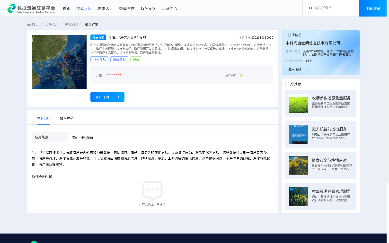
利用卫星遥感技术可以获取海洋表面形态和地形数据,包括海浪、潮汐、海流等的变化信息,以及海岸侵蚀、滩涂变化等信息。这些数据可以用于海洋灾害预警、海岸带管理、海洋资源开发等领域。可以获取海面温度和海流信息,包括暖流、寒流、上升流等的变化信息。这些数据可以用于海洋生态研究、海洋气象预报、海洋渔业等领域。
Satellite remote sensing technology can acquire ocean surface morphology and topographic data, including variation information of sea waves, tides, ocean currents, as well as data on coastal erosion and tidal flat changes. Such datasets can be applied in fields such as marine disaster early warning, coastal zone management and marine resource development. Additionally, this technology can also obtain sea surface temperature and ocean current information, covering variation patterns of warm currents, cold currents, upwelling currents and other oceanographic phenomena. These datasets can be used for marine ecological research, marine weather forecasting, marine fisheries and other relevant fields.
提供机构:
中科光启空间信息技术有限公司
创建时间:
2023-10-31
搜集汇总
数据集介绍
背景与挑战
背景概述
该数据集提供海洋地理信息测绘服务,利用卫星遥感技术获取海洋表面形态、地形、温度和海流等数据,适用于海洋灾害预警、海岸带管理、海洋资源开发、生态研究和气象预报等多个领域。
以上内容由遇见数据集搜集并总结生成


