中国高分辨率高质量地面NO2数据集(2008-2023)
收藏国家青藏高原科学数据中心2024-08-19 更新2024-03-07 收录
下载链接:
https://data.tpdc.ac.cn/zh-hans/data/cdd719d1-e0c0-49be-9f20-6a0ba54c8b38
下载链接
链接失效反馈官方服务:
资源简介:
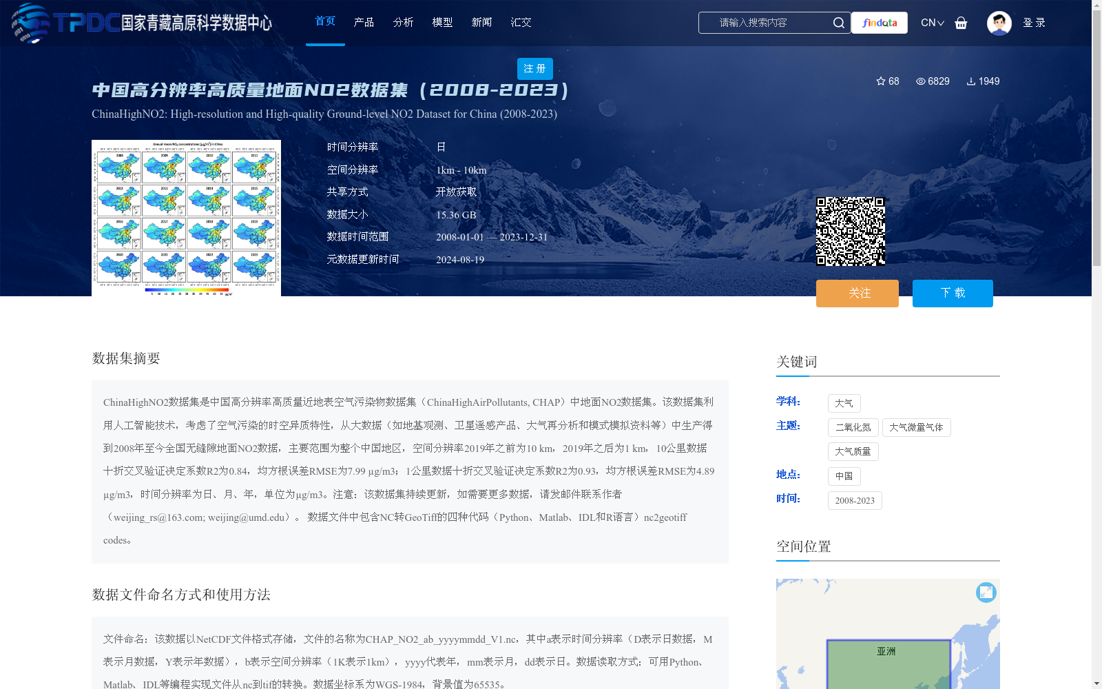
ChinaHighNO2数据集是中国高分辨率高质量近地表空气污染物数据集(ChinaHighAirPollutants, CHAP)中地面NO2数据集。该数据集利用人工智能技术,考虑了空气污染的时空异质特性,从大数据(如地基观测、卫星遥感产品、大气再分析和模式模拟资料等)中生产得到2008年至今全国无缝隙地面NO2数据,主要范围为整个中国地区,空间分辨率2019年之前为10 km,2019年之后为1 km,10公里数据十折交叉验证决定系数R2为0.84,均方根误差RMSE为7.99 µg/m3;1公里数据十折交叉验证决定系数R2为0.93,均方根误差RMSE为4.89 µg/m3,时间分辨率为日、月、年,单位为µg/m3。注意:该数据集持续更新,如需要更多数据,请发邮件联系作者(weijing_rs@163.com; weijing@umd.edu)。
数据文件中包含NC转GeoTiff的四种代码(Python、Matlab、IDL和R语言)nc2geotiff codes。
The ChinaHighNO2 dataset is the ground-based NO2 subset of the ChinaHighAirPollutants (CHAP) dataset, a high-resolution, high-quality near-surface air pollutant dataset for China. This dataset adopts artificial intelligence technologies, accounts for the spatiotemporal heterogeneity of air pollution, and generates seamless nationwide ground-based NO2 concentration data from 2008 to the present using multi-source big data including ground-based observations, satellite remote sensing products, atmospheric reanalysis datasets, and model simulation outputs. The study area covers the entire Chinese mainland. The spatial resolution was 10 km before 2019, and adjusted to 1 km after 2019. For the 10 km resolution data, the ten-fold cross-validation coefficient of determination R² is 0.84, with a root mean square error (RMSE) of 7.99 µg/m³; for the 1 km resolution data, the ten-fold cross-validation R² is 0.93, with an RMSE of 4.89 µg/m³. The temporal resolution supports daily, monthly and annual scales, and the unit of measurement is µg/m³. Note: This dataset is continuously updated. If you need additional data, please contact the authors via email (weijing_rs@163.com; weijing@umd.edu). The data package includes four types of nc2geotiff conversion codes in Python, Matlab, IDL and R languages.
提供机构:
韦晶,李占清
创建时间:
2023-02-13
搜集汇总
数据集介绍
背景与挑战
背景概述
该数据集是中国高分辨率高质量地面NO2数据集,覆盖2008年至2023年,利用人工智能技术融合多源数据,提供全国无缝隙的NO2浓度信息。其特点是空间分辨率随时间提升(2019年前为10公里,后为1公里),时间分辨率为日、月、年,并通过交叉验证显示高准确性(1公里数据R2达0.93),适用于大气污染研究和监测。
以上内容由遇见数据集搜集并总结生成


