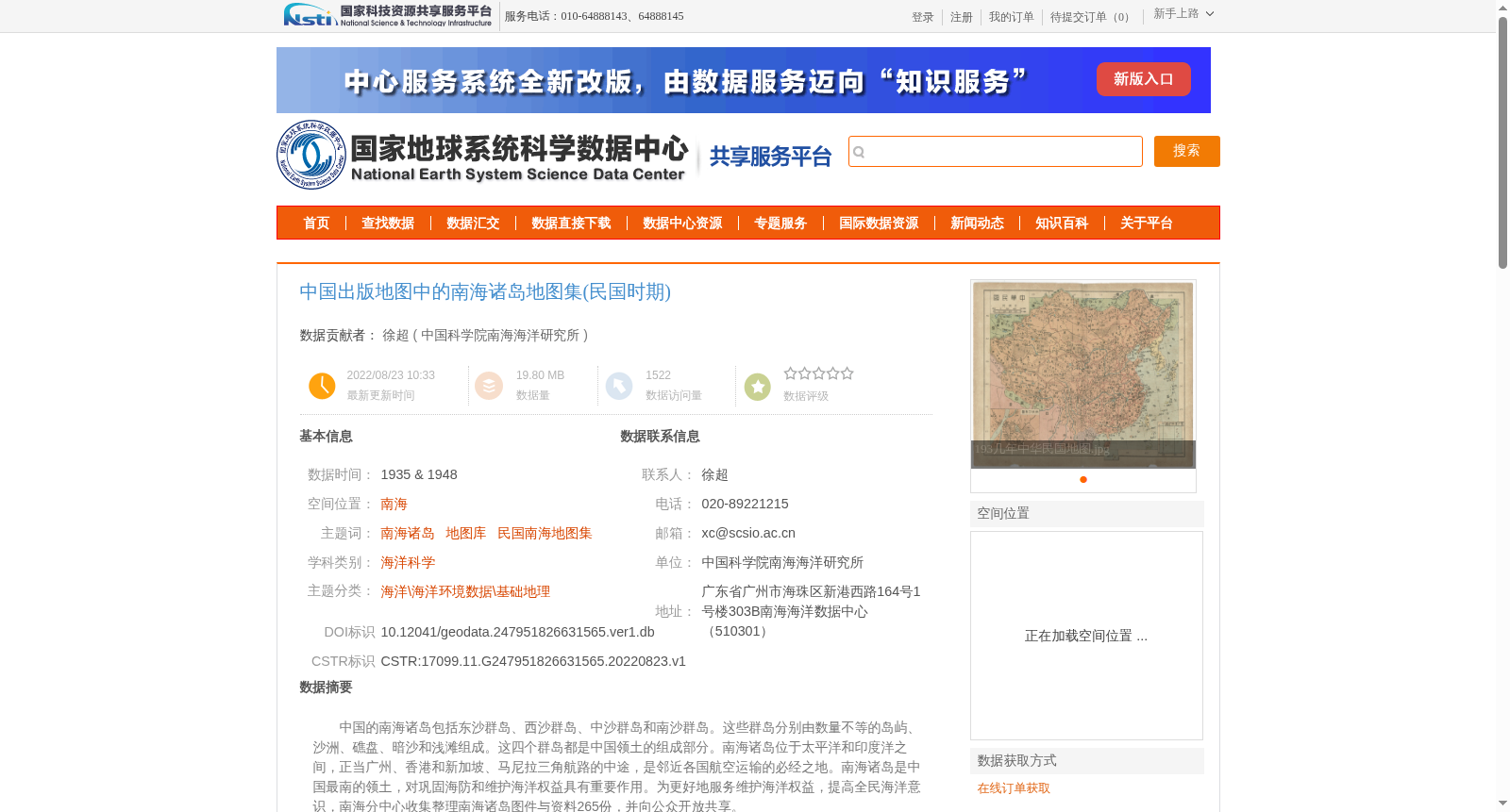
中国出版地图中的南海诸岛地图集(民国时期)
收藏资源简介:
中国的南海诸岛包括东沙群岛、西沙群岛、中沙群岛和南沙群岛。这些群岛分别由数量不等的岛屿、沙洲、礁盘、暗沙和浅滩组成。这四个群岛都是中国领土的组成部分。南海诸岛位于太平洋和印度洋之间,正当广州、香港和新加坡、马尼拉三角航路的中途,是邻近各国航空运输的必经之地。南海诸岛是中国最南的领土,对巩固海防和维护海洋权益具有重要作用。为更好地服务维护海洋权益,提高全民海洋意识,南海分中心收集整理南海诸岛图件与资料265份,并向公众开放共享。
The South China Sea Islands of China include the Dongsha Islands, the Xisha Islands, the Zhongsha Islands and the Nansha Islands. Each of these archipelagos is composed of a varying number of islands, sandbars, reef flats, submerged shoals and shallow banks. All four archipelagos are integral parts of China's territory. Situated between the Pacific Ocean and the Indian Ocean, the South China Sea Islands lie midway along the triangular air route connecting Guangzhou, Hong Kong, Singapore and Manila, serving as a necessary transit point for air transportation of neighboring countries. As China's southernmost territory, the South China Sea Islands play a significant role in consolidating coastal defense and safeguarding China's maritime rights and interests. To better serve the safeguarding of maritime rights and interests and raise public awareness of the ocean, the South China Sea Branch has collected and sorted out 265 sets of maps and materials related to the South China Sea Islands, and made them open to the public for sharing.