基于SRTM V3的高分辨率全球地形因子数据集(2015)
收藏国家青藏高原科学数据中心2023-12-01 更新2024-03-01 收录
下载链接:
https://data.tpdc.ac.cn/zh-hans/data/d6ce51d1-a94a-4b06-af4c-c24d58e7ec52
下载链接
链接失效反馈官方服务:
资源简介:
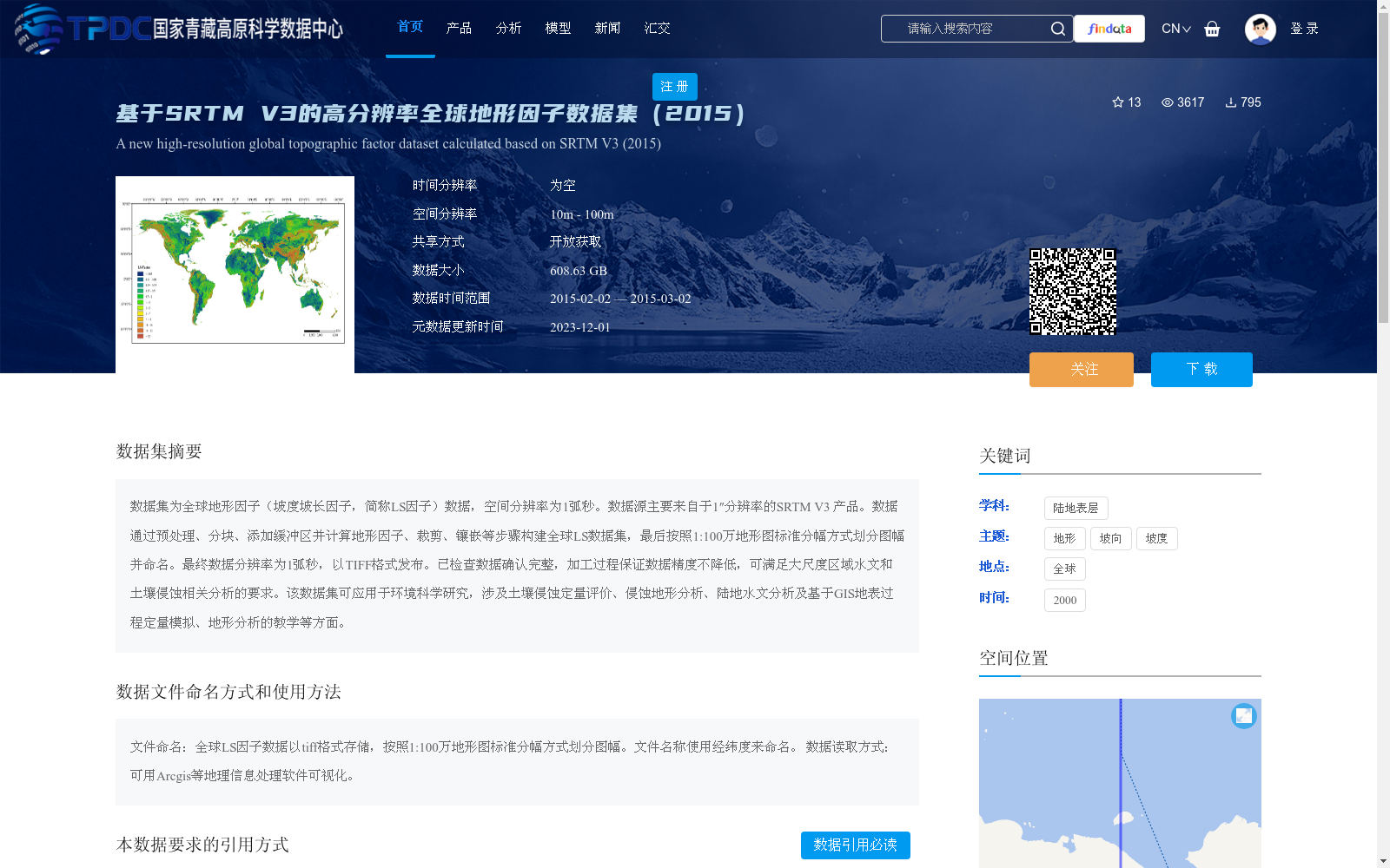
数据集为全球地形因子(坡度坡长因子,简称LS因子)数据,空间分辨率为1弧秒。数据源主要来自于1″分辨率的SRTM V3 产品。数据通过预处理、分块、添加缓冲区并计算地形因子、裁剪、镶嵌等步骤构建全球LS数据集,最后按照1:100万地形图标准分幅方式划分图幅并命名。最终数据分辨率为1弧秒,以TIFF格式发布。已检查数据确认完整,加工过程保证数据精度不降低,可满足大尺度区域水文和土壤侵蚀相关分析的要求。该数据集可应用于环境科学研究,涉及土壤侵蚀定量评价、侵蚀地形分析、陆地水文分析及基于GIS地表过程定量模拟、地形分析的教学等方面。
This is a global topographic factor (Slope Length and Steepness Factor, abbreviated as LS factor) dataset with a spatial resolution of 1 arc-second. The primary data source is the 1 arc-second resolution SRTM V3 product. The global LS dataset is constructed via a series of processes including preprocessing, tiling, buffer addition, topographic factor calculation, clipping, and mosaicking. Subsequently, the dataset is partitioned and named following the standard sheet division specification for 1:1,000,000 scale topographic maps. The final released data maintains a resolution of 1 arc-second and is distributed in TIFF format. The dataset has been fully validated for integrity, and the processing workflow guarantees no degradation of data accuracy, thus meeting the requirements of large-scale regional hydrological and soil erosion-related analyses. This dataset can be applied in environmental science research, covering quantitative evaluation of soil erosion, erosional topography analysis, terrestrial hydrological analysis, quantitative simulation of surface processes based on GIS, and teaching of topographic analysis, among other relevant research and education scenarios.
提供机构:
孙雨薇,李锐,刘宝元,赵西宁,史海静,李宏义,任雨含,樊晓,董良,许伊昆,常毅,袁琳琳,杨勤科,张宏鸣
创建时间:
2023-03-14
搜集汇总
数据集介绍
背景与挑战
背景概述
该数据集是基于SRTM V3产品构建的全球高分辨率地形因子(LS因子)数据,空间分辨率为1弧秒(约10-100米),覆盖2015年2月至3月。数据以TIFF格式发布,大小为608.63 GB,适用于大尺度水文和土壤侵蚀分析等环境科学研究,支持开放获取并需遵循引用规范。
以上内容由遇见数据集搜集并总结生成


