长江流域1:25万二级流域分级数据集(2002年)
收藏国家地球系统科学数据中心2024-09-04 更新2024-03-04 收录
下载链接:
https://www.geodata.cn/data/datadetails.html?dataguid=32286149419994&docId=2658
下载链接
链接失效反馈官方服务:
资源简介:
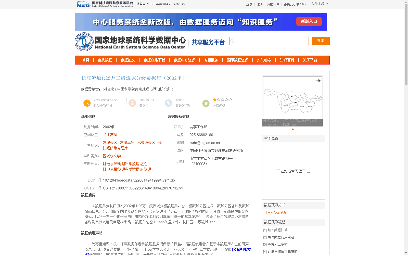
该数据集为长江流域2002年1:25万二级流域分级数据集,含二级流域分区边界、流域分区名称及流域编码信息,是常用的全国水资源分区资料(水资源分区是在一个时期内相对固定并带有一定强制性的分区模式,以利于在一个相当长的时期内各项水利规划都采用统一的基本资料),包含了长江流域二级流域的名称及其流域编码等指标字段。
数据集包含1个shp矢量文件,长江区-二级流域.shp。
This dataset is the 2002 1:250,000 hierarchical secondary-level watershed dataset for the Yangtze River Basin, which includes the boundary geometries, subregion names, and watershed coding information of its secondary-level divisions. As a widely adopted national water resources zoning dataset, water resources zoning refers to a relatively fixed and somewhat mandatory zoning framework implemented over a defined period, to ensure that unified basic data is utilized for all water conservancy planning initiatives across a relatively long time span. The dataset covers indicator fields such as the names and coding information of the secondary-level watersheds in the Yangtze River Basin, and contains one shapefile (SHP) vector file named 长江区-二级流域.shp.
提供机构:
中国科学院南京地理与湖泊研究所
创建时间:
2017-07-12
搜集汇总
数据集介绍
以上内容由遇见数据集搜集并总结生成


