雅鲁藏布江中下游沉积物地震探测数据(2020-2025)
收藏国家青藏高原科学数据中心2025-03-07 更新2025-01-25 收录
下载链接:
https://data.tpdc.ac.cn/zh-hans/data/52c350f2-354e-40ea-82f2-ee1f16a27adf
下载链接
链接失效反馈官方服务:
资源简介:
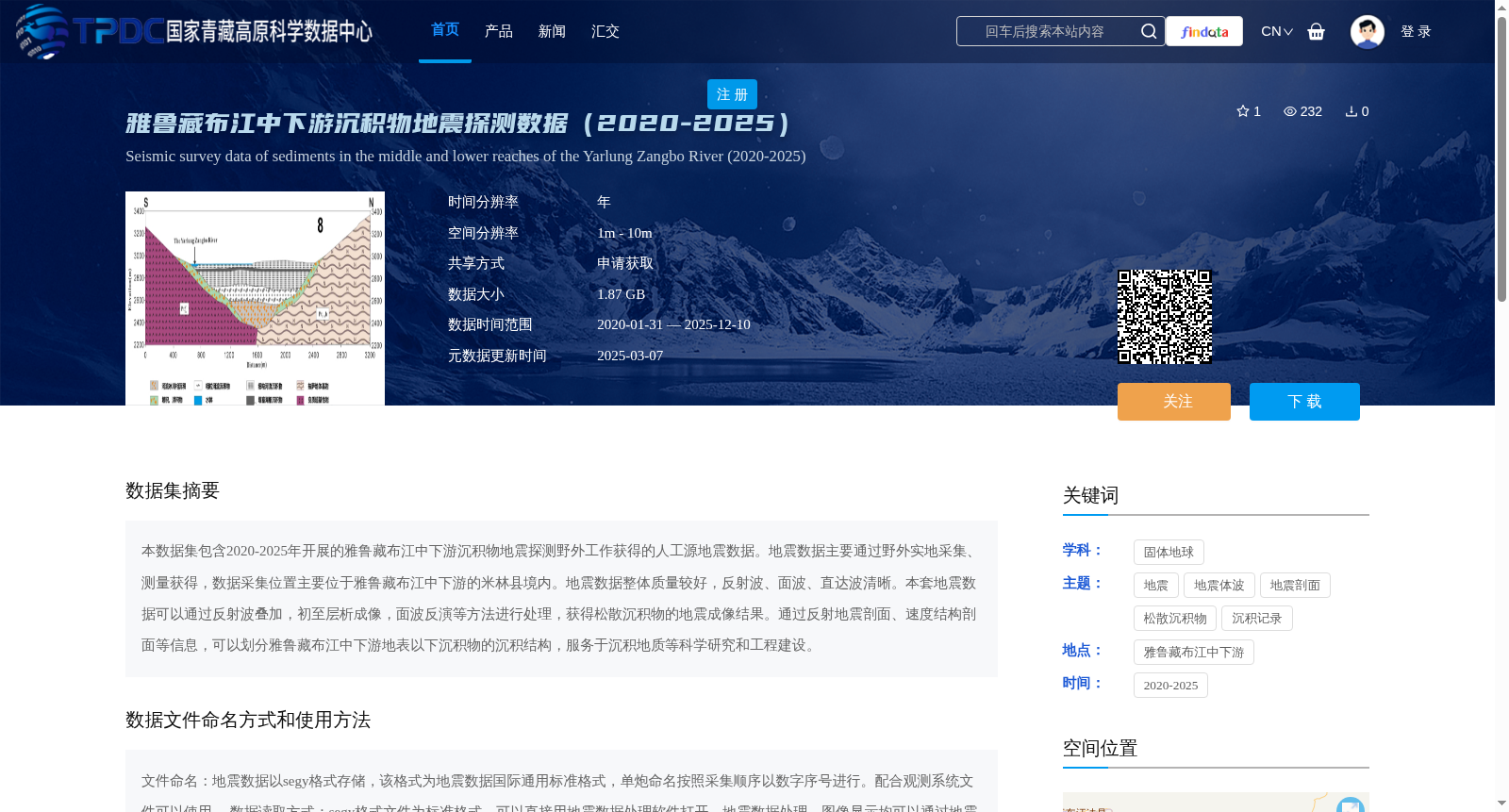
本数据集包含2020-2025年开展的雅鲁藏布江中下游沉积物地震探测野外工作获得的人工源地震数据。地震数据主要通过野外实地采集、测量获得,数据采集位置主要位于雅鲁藏布江中下游的米林县境内。地震数据整体质量较好,反射波、面波、直达波清晰。本套地震数据可以通过反射波叠加,初至层析成像,面波反演等方法进行处理,获得松散沉积物的地震成像结果。通过反射地震剖面、速度结构剖面等信息,可以划分雅鲁藏布江中下游地表以下沉积物的沉积结构,服务于沉积地质等科学研究和工程建设。
This dataset contains artificial-source seismic data acquired during field seismic surveys for sediment detection in the middle and lower reaches of the Yarlung Zangbo River, conducted between 2020 and 2025. The seismic data were mainly obtained through field collection and measurement, with most acquisition sites located in Mainling County within the middle and lower reaches of the Yarlung Zangbo River. The overall quality of the seismic data is good, with clear reflected waves, surface waves, and direct waves. This set of seismic data can be processed via methods including reflection stacking, first-arrival tomography, and surface wave inversion to obtain seismic imaging results of unconsolidated sediments. Based on information such as reflection seismic profiles and velocity structure profiles, the subsurface sedimentary structure in the middle and lower reaches of the Yarlung Zangbo River can be delineated, serving scientific research such as sedimentary geology and engineering construction.
提供机构:
钱荣毅
创建时间:
2025-01-19
搜集汇总
数据集介绍
背景与挑战
背景概述
该数据集包含2020年至2025年在雅鲁藏布江中下游(主要位于米林县)采集的人工源地震探测数据,空间分辨率为1米至10米,数据大小为1.87 GB,以segy格式存储。数据质量较好,反射波、面波和直达波清晰,可通过反射波叠加、初至层析成像和面波反演等方法处理,用于生成松散沉积物的地震成像结果,支持沉积地质科学研究和工程建设。
以上内容由遇见数据集搜集并总结生成


