
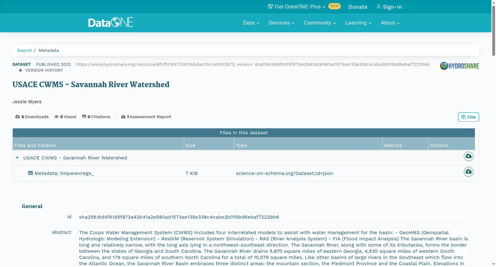
USACE CWMS - Savannah River Watershed
收藏DataONE2022-04-15 更新2024-06-08 收录
下载链接:
https://search.dataone.org/view/sha256:6d4f61d5f873a42b41a2e580ad1573ae135e338c4cabe2b015bd6ebaf72229b6
下载链接
链接失效反馈官方服务:
资源简介:
The Corps Water Management System (CWMS) includes four interrelated models to assist with water management for the basin:
- GeoHMS (Geospatial Hydrologic Modeling Extension)
- ResSIM (Reservoir System Simulation)
- RAS (River Analysis System)
- FIA (Flood Impact Analysis)
The Savannah River basin is long and relatively narrow, with the long axis lying in a northwest-southeast direction. The Savannah River, along with some of its tributaries, forms the border between the states of Georgia and South Carolina. The Savannah River drains 5,870 square miles of eastern Georgia, 4,530 square miles of western South Carolina, and 179 square miles of southern North Carolina for a total of 10,579 square miles. Like other basins of large rivers in the Southeast which flow into the Atlantic Ocean, the Savannah River Basin embraces three distinct areas: the mountain section, the Piedmont Province and the Coastal Plain. Elevations in the basin range from sea level at Savannah to approximately 5,030 feet at Little Bald in North Carolina. The Savannah River is formed in the Piedmont region by the confluence of the Seneca and Tugaloo Rivers. This confluence was formerly known as “The Forks”, but is currently inundated beneath Lake Hartwell. The Savannah River crosses the Atlantic Seaboard fall line at Augusta, where it enters the Atlantic Coastal plain. Downstream of Augusta, the river becomes more sinuous and meanders across its flood plain. The lower 50 miles, to just upstream of the confluence with Ebenezer Creek, is tidally influenced. The lower part of the river becomes estuarine before entering the Atlantic Ocean at Tybee Roads.
The river's entire length of 312 miles is regulated by three adjoining Corps of Engineers multipurpose projects, each with appreciable storage. The three lakes, Hartwell, Richard B. Russell and J. Strom Thurmond, form a chain along the Georgia-South Carolina border 120 miles long. Of the 6,144 square mile drainage basin above Thurmond Dam, 3,254 square miles (53%) are between Thurmond and Russell Dams, 802 square miles (13%) are between Russell and Hartwell Dams, and 2,088 square miles (34%) are above Hartwell Dam. Hartwell Dam is at River Mile 305.0, 7 miles east of Hartwell, Georgia. When the lake level is at elevation 660 ft. NGVD, the top of conservation pool, the reservoir extends 49 miles up the Tugaloo River (Georgia), and 45 miles up the Seneca and Keowee Rivers (South Carolina). The shoreline at elevation 660 is about 962 miles long, excluding island areas. The reservoir has a total storage capacity of 2,550,000 acre-feet below elevation 660 ft. Russell Dam is at River Mile 275.2 in Elbert County, Georgia and Abbeville County, South Carolina. The dam is 18 miles southwest of Elberton, Georgia, 4 miles southwest of Calhoun Falls, South Carolina, and 40 miles northeast of Athens, Georgia. At top of conservation pool, elevation 475, the reservoir has a useable storage capacity of 126,800 acre-feet and 1,166,166 acre-feet of total storage at top of flood control pool, elevation 480. Richard B. Russell Dam was the third multiple-purpose project that the Federal Government built in the basin. Operation of the project began in January 1985. Thurmond Dam is at River Mile 237.7, on the Savannah River, 22 miles upstream of Augusta, Georgia. The reservoir at top of the flood control pool, elevation 335, has an area of 78,500 acres. At elevation 330, top of conservation pool, the reservoir extends about 40 miles up the Savannah River and about 30 miles up Little River (Georgia), and has about 1,050 miles of shoreline, excluding island areas. The reservoir has a total storage capacity of 2,510,000 acre-feet below elevation 330. The river is largely inundated between Hartwell Dam and Thurmond Dam, only flowing free for a two mile stretch below Hartwell Dam.
美国陆军工程兵团水资源管理系统(Corps Water Management System,CWMS)包含四个相互关联的模型,用于辅助流域水资源管理工作:
- 地理空间水文建模扩展模块(GeoHMS,Geospatial Hydrologic Modeling Extension)
- 水库系统模拟模型(ResSIM,Reservoir System Simulation)
- 河道分析系统(RAS,River Analysis System)
- 洪水影响分析模型(FIA,Flood Impact Analysis)
萨凡纳河流域整体呈狭长形态,主轴方向为西北-东南走向。萨凡纳河及其部分支流构成了佐治亚州与南卡罗来纳州的州界。该流域的汇水范围包括佐治亚州东部5870平方英里、南卡罗来纳州西部4530平方英里,以及北卡罗来纳州南部179平方英里,总流域面积达10579平方英里。与东南部其他注入大西洋的大型河流流域类似,萨凡纳河流域可划分为三个典型地貌区:山区、皮埃蒙特山麓带(Piedmont Province)以及大西洋沿岸平原区。流域内海拔范围从萨凡纳市的海平面高程,至北卡罗来纳州小巴尔德山的约5030英尺。萨凡纳河发源于皮埃蒙特山麓带,由塞内河与图加洛河汇流而成。该汇流处曾被称为“分叉口”,如今已被哈特韦尔湖淹没。萨凡纳河在奥古斯塔市穿过大西洋沿岸瀑布线,自此进入大西洋沿岸平原。奥古斯塔下游河段的河道愈发蜿蜒,在泛滥平原上曲折前行。下游50英里河段(直至与埃比尼泽溪汇口上游附近)受潮汐影响。该河下游段在提比航道(Tybee Roads)注入大西洋前,逐渐演变为河口湾形态。
萨凡纳河全长312英里,由三座相邻的美国陆军工程兵团多功能水利枢纽全程调控,各枢纽均具备可观的调蓄库容。这三座水库——哈特韦尔湖、理查德·B·拉塞尔湖与J·斯特罗姆·瑟蒙德湖,沿佐治亚州-南卡罗来纳州州界形成了总长120英里的梯级水库群。瑟蒙德大坝以上的汇水流域面积为6144平方英里,其中瑟蒙德大坝与拉塞尔大坝之间的流域面积为3254平方英里(占比53%),拉塞尔大坝与哈特韦尔大坝之间为802平方英里(占比13%),哈特韦尔大坝以上流域面积为2088平方英里(占比34%)。哈特韦尔大坝位于河道里程305.0处,距离佐治亚州哈特韦尔市以东7英里。当水库水位维持在660英尺国家大地垂直基准面(NGVD)的正常蓄水位高程时,水库沿图加洛河(佐治亚州段)延伸49英里,沿塞内河与基奥维河(南卡罗来纳州段)延伸45英里。660英尺高程下的岸线长度约为962英里(不含岛屿区域)。660英尺高程以下的总库容为2550000英亩-英尺。拉塞尔大坝位于佐治亚州埃尔伯特县与南卡罗来纳州阿比维尔县交界处的河道里程275.2处,大坝距离佐治亚州埃尔伯顿市西南18英里、南卡罗来纳州卡尔霍恩福尔斯西南4英里,以及佐治亚州雅典市东北40英里。正常蓄水位高程为475英尺时,该水库的可用库容为126800英亩-英尺;防洪限制水位高程为480英尺时,总库容达1166166英亩-英尺。理查德·B·拉塞尔大坝是联邦政府在该流域兴建的第三座多功能水利枢纽,工程于1985年1月正式投入运行。瑟蒙德大坝位于河道里程237.7处的萨凡纳河河段上,距离佐治亚州奥古斯塔市上游22英里。防洪限制水位高程335英尺时,该水库的水面面积为78500英亩。正常蓄水位高程330英尺时,水库沿萨凡纳河延伸约40英里,沿小河(佐治亚州段)延伸约30英里,岸线长度约为1050英里(不含岛屿区域)。330英尺高程以下的总库容为2510000英亩-英尺。哈特韦尔大坝与瑟蒙德大坝之间的河段几乎全程被水库淹没,仅在哈特韦尔大坝下游存在一段2英里的天然河道。
创建时间:
2022-04-15
搜集汇总
数据集介绍
以上内容由遇见数据集搜集并总结生成


