中尼交通廊道1:50万地质图数据集(1999)
收藏国家青藏高原科学数据中心2023-03-20 更新2024-03-01 收录
下载链接:
https://data.tpdc.ac.cn/zh-hans/data/66d59943-b9f6-4ca3-808f-e5dc21e478a0
下载链接
链接失效反馈官方服务:
资源简介:
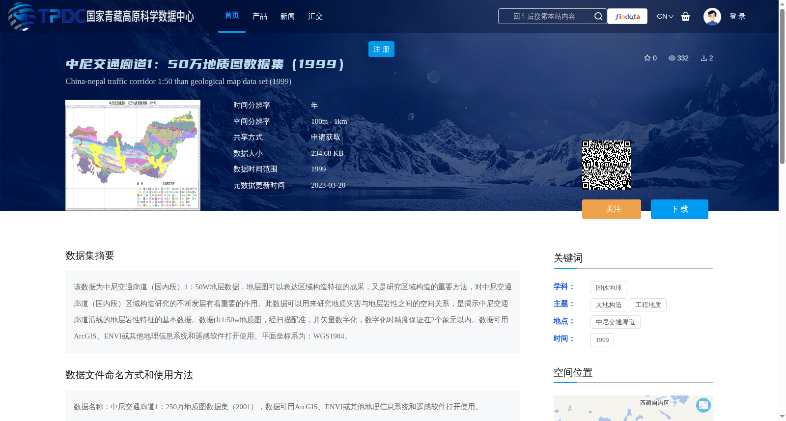
该数据为中尼交通廊道(国内段)1:50W地层数据,地层图可以表达区域构造特征的成果,又是研究区域构造的重要方法,对中尼交通廊道(国内段)区域构造研究的不断发展有着重要的作用。此数据可以用来研究地质灾害与地层岩性之间的空间关系,是揭示中尼交通廊道沿线的地层岩性特征的基本数据。数据由1:50w地质图,经扫描配准,并矢量数字化,数字化时精度保证在2个象元以内。数据可用ArcGIS、ENVI或其他地理信息系统和遥感软件打开使用。平面坐标系为:WGS1984。
This dataset is the 1:500,000 stratigraphic data of the China-Nepal Transportation Corridor (domestic section). The stratigraphic map not only visually represents regional tectonic characteristics but also serves as a critical approach for regional tectonic research, playing a pivotal role in the ongoing advancement of regional tectonic studies on the China-Nepal Transportation Corridor (domestic section). This dataset can be employed to analyze the spatial correlation between geological hazards and stratigraphic lithology, and constitutes the fundamental data for uncovering the stratigraphic and lithological features along the China-Nepal Transportation Corridor. The data is derived from the 1:500,000 geological map, which was scanned, registered, and subsequently vectorized, with the digitization accuracy guaranteed to be within 2 pixels. This dataset can be opened and operated using ArcGIS, ENVI, or other geographic information system (GIS) and remote sensing software. The horizontal coordinate system adopted is WGS 1984.
提供机构:
赵波
创建时间:
2022-12-16
搜集汇总
数据集介绍
背景与挑战
背景概述
该数据集是中尼交通廊道(国内段)1:50万比例尺的地质图数据,源自1999年,用于分析区域构造特征和地质灾害与地层岩性的空间关系。数据通过扫描配准和矢量数字化处理,精度在2个像素以内,采用WGS1984坐标系,支持ArcGIS、ENVI等地理信息系统软件使用,空间分辨率为100米至1公里,数据大小为234.68 KB,需申请获取。
以上内容由遇见数据集搜集并总结生成


