
LandCover.ai
收藏资源简介:
LandCover.ai是由Linux Polska和Interdisciplinary Centre for Mathematical and Computational Modelling University of Warsaw合作创建的数据集,专注于从航空影像中自动映射建筑物、林地、水体和道路。该数据集覆盖波兰216.27平方公里的农村地区,包含39.51平方公里分辨率为50厘米/像素和176.76平方公里分辨率为25厘米/像素的图像,并手动精细标注了四个类别的对象。数据集的创建旨在通过深度学习技术提高土地覆盖自动映射的效率和准确性,适用于农业、林业和公共管理等领域,以解决土地使用和覆盖变化检测的问题。
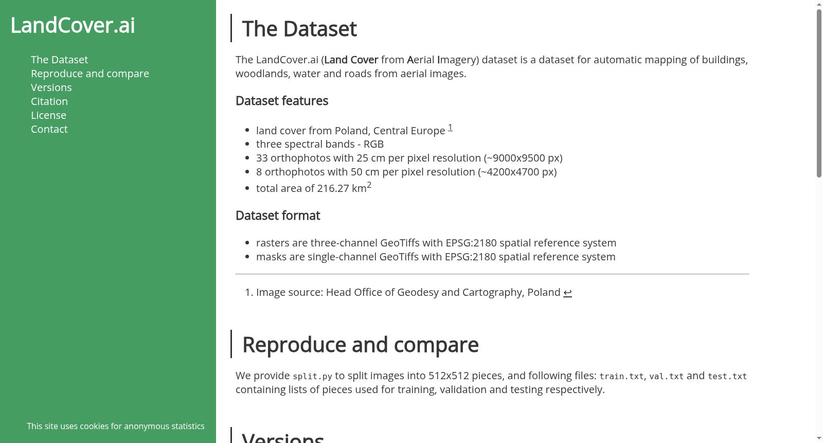
LandCover.ai is a dataset co-created by Linux Polska and the Interdisciplinary Centre for Mathematical and Computational Modelling at the University of Warsaw. It specializes in automated mapping of buildings, woodlands, water bodies and roads using aerial imagery. The dataset encompasses 216.27 square kilometers of rural areas across Poland, with imagery divided into two resolution tiers: 39.51 square kilometers at 50 cm/pixel, and 176.76 square kilometers at 25 cm/pixel. Manually fine-grained annotations have been applied to objects belonging to these four predefined categories. This dataset was developed to improve the efficiency and accuracy of automated land cover mapping via deep learning technologies, and it is applicable to domains including agriculture, forestry and public administration to address challenges related to land use and cover change detection.
- 1LandCover.ai: Dataset for Automatic Mapping of Buildings, Woodlands, Water and Roads from Aerial ImageryLinux Polska 华沙, 波兰 · 2022年


