MODDIS Terra星MOD13A2 1KM 植被指数16天合成产品
收藏地球大数据科学工程2024-04-21 收录
下载链接:
https://data.casearth.cn/sdo/detail/653f6d72819aec161b5ab4e9
下载链接
链接失效反馈官方服务:
资源简介:
全球MODIS植被指数是为了表现植被状况的时空综合特征而生产的。在生产MODIS植被指数的过程中,蓝、红、近红外反射率三个波段的数据被采用,三波段的中心分别为469nm, 、645 nm和858 nm。
MODIS NDVI(归一化植被指数)和NOAA先进型甚高分辨率辐射仪(AVHRR)的NDVI产品配合使用可以展示植被指数的时间序列变化。MODIS植被指数产品还包含一个新的植被指数,EVI(增强型植被指数)。EVI尽量减少了冠层背景结构的变化并保持了对植被密度状况的敏感性。EVI同样运用了蓝色波段去除由烟尘及小于一个像素的薄云等因素造成的大气污染残留。MODIS NDVI和EVI产品由经过水、云、重气溶胶、以及云阴影掩膜处理的双向大气校正表面反射率计算得来。
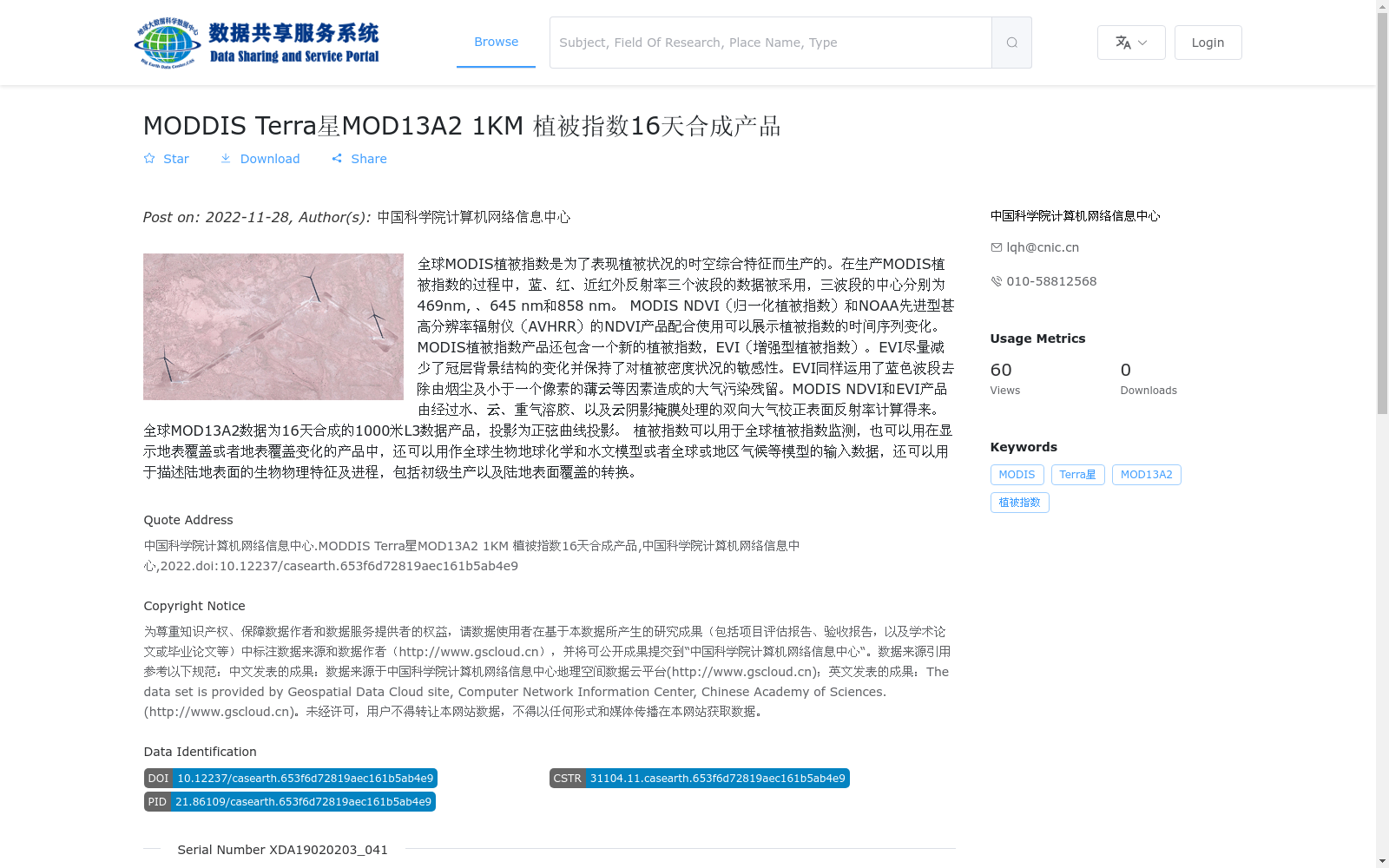
全球MOD13A2数据为16天合成的1000米L3数据产品,投影为正弦曲线投影。
植被指数可以用于全球植被指数监测,也可以用在显示地表覆盖或者地表覆盖变化的产品中,还可以用作全球生物地球化学和水文模型或者全球或地区气候等模型的输入数据,还可以用于描述陆地表面的生物物理特征及进程,包括初级生产以及陆地表面覆盖的转换。
The Global MODIS Vegetation Indices are produced to characterize the spatiotemporal comprehensive features of vegetation conditions. In the production process of MODIS vegetation indices, data from three bands of blue, red, and near-infrared reflectance are adopted, with their central wavelengths at 469 nm, 645 nm, and 858 nm respectively.
MODIS NDVI (Normalized Difference Vegetation Index) products, when used in conjunction with NDVI products from the NOAA Advanced Very High Resolution Radiometer (AVHRR), can demonstrate the temporal variations of vegetation indices. The MODIS vegetation index product suite also includes a novel vegetation index, EVI (Enhanced Vegetation Index). EVI minimizes variations in canopy background structure while maintaining sensitivity to vegetation density conditions. EVI also utilizes the blue band to remove residual atmospheric contamination caused by factors such as soot and thin clouds smaller than one pixel. MODIS NDVI and EVI products are calculated from bidirectional atmospheric-corrected surface reflectance that has been masked for water, clouds, heavy aerosols, and cloud shadows.
The global MOD13A2 dataset is a 16-day composite 1-kilometer Level 3 data product with a Sinusoidal projection.
Vegetation indices can be used for global vegetation index monitoring, in products displaying land cover or land cover change, as input data for global biogeochemical, hydrological, global or regional climate models and other similar models, and for describing biophysical characteristics and processes of the terrestrial surface, including primary production and land cover conversion.
提供机构:
中国科学院计算机网络信息中心
搜集汇总
数据集介绍
背景与挑战
背景概述
该数据集为全球MODIS植被指数16天合成的1000米分辨率产品,包含NDVI和EVI两种指数,适用于植被监测和地表覆盖变化分析等应用。数据由中国科学院计算机网络信息中心发布,采用正弦曲线投影。
以上内容由遇见数据集搜集并总结生成


