
High-Resolution Landscape Dataset for Concept-Based XAI
收藏资源简介:
该数据集由雷恩第二大学联合团队创建,包含15类生态景观概念(如树篱、湿地等)的653个标注样本及1,450个随机参考样本,数据源自法国五个研究区域的高分辨率多光谱(5波段)和LiDAR无人机影像(空间分辨率8cm/像素)。通过QGIS人工标注结合农业土地登记数据构建,特别针对水生昆虫分布建模需求设计,支持概念驱动的可解释AI在物种分布模型中的应用,能有效验证生态假设并辅助保护政策制定。
This dataset was created by a collaborative team from the University of Rennes 2. It comprises 653 annotated samples and 1,450 randomly selected reference samples covering 15 categories of ecological landscape concepts (e.g., hedgerows, wetlands, etc.). The data is derived from high-resolution multispectral (5-band) and drone-borne LiDAR imagery with a spatial resolution of 8 cm per pixel, acquired across five research regions in France. Constructed via manual annotation using QGIS in conjunction with agricultural land registry data, the dataset is specifically tailored for aquatic insect distribution modeling. It supports the application of concept-driven explainable AI in species distribution models, effectively validating ecological hypotheses and aiding in the development of conservation policies.
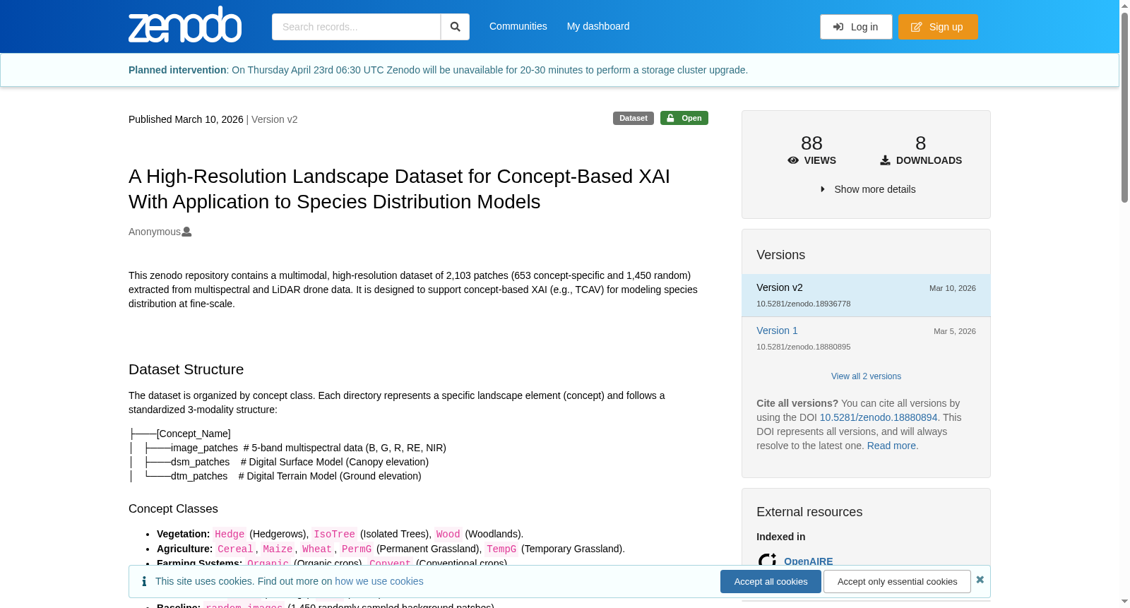
A High-Resolution Landscape Dataset for Concept-Based XAI With Application to Species Distribution Models
基本信息
- 发布日期:2026年3月10日
- 当前版本:v2
- 访问状态:Open
- DOI:10.5281/zenodo.18936778
- 资源类型:Dataset
- 发布者:Zenodo
- 许可协议:Creative Commons Attribution 4.0 International
数据集描述
本数据集是一个多模态、高分辨率的数据集,包含从多光谱和LiDAR无人机数据中提取的2,103个图像块(其中653个为概念特定,1,450个为随机背景)。该数据集旨在支持面向精细尺度物种分布建模的概念型可解释人工智能(XAI,例如TCAV)研究。
数据集结构
数据集按概念类别组织。每个目录代表一个特定的景观元素(概念),并遵循标准化的3模态结构:
image_patches:5波段多光谱数据(B, G, R, RE, NIR)dsm_patches:数字表面模型(冠层高程)dtm_patches:数字地形模型(地面高程)
概念类别
- 植被:
Hedge(树篱),IsoTree(孤立树木),Wood(林地) - 农业:
Cereal,Maize,Wheat,PermG(永久性草地),TempG(临时性草地) - 耕作系统:
Organic(有机作物),Convent(常规作物) - 水域与湿地:
LinW(线性水域),SurfW(地表水域),Wet(湿地) - 基础设施:
Build(建筑物),Road(道路) - 基线:
random_images(1,450个随机采样的背景图像块)
研究区域与数据采集
- 采集时间:2024年4月
- 采集设备:使用配备MicaSense Dual MX和Qube240传感器的Trinity F90+无人机采集。
- 研究区域:数据采集自法国五个异质性研究地点,范围涵盖从粗放式奶牛养殖系统到高度集约化种植系统的多样化农业景观。
数据规格
- 空间分辨率:8厘米/像素
- 图像块尺寸:512 × 512像素
- 输入通道:总计7个波段(5个多光谱波段 + 2个LiDAR衍生的高程模型)
文件信息
- 文件名称:
concepts_ecml2026_v2.zip - 文件大小:12.6 GB
- MD5校验和:e969a781b8a21aff09254d98d1cb4998
- 下载链接:https://zenodo.org/records/18936778/files/concepts_ecml2026_v2.zip
使用统计(截至页面记录)
- 总浏览量:88
- 总下载量:8
- 总数据量:160.7 GB
关键词
- Explainable AI
- Concept-based Explainable AI
- Aquatic insects
- Drone
- Remote sensing
- Landscape Ecology
引用格式
Anonymous. (2026). A High-Resolution Landscape Dataset for Concept-Based XAI With Application to Species Distribution Models [Data set]. Zenodo. https://doi.org/10.5281/zenodo.18936778
- 1A High-Resolution Landscape Dataset for Concept-Based XAI With Application to Species Distribution Models雷恩第二大学·国家科学研究中心; 维尔茨堡大学·人工智能与数据科学中心 · 2026年


