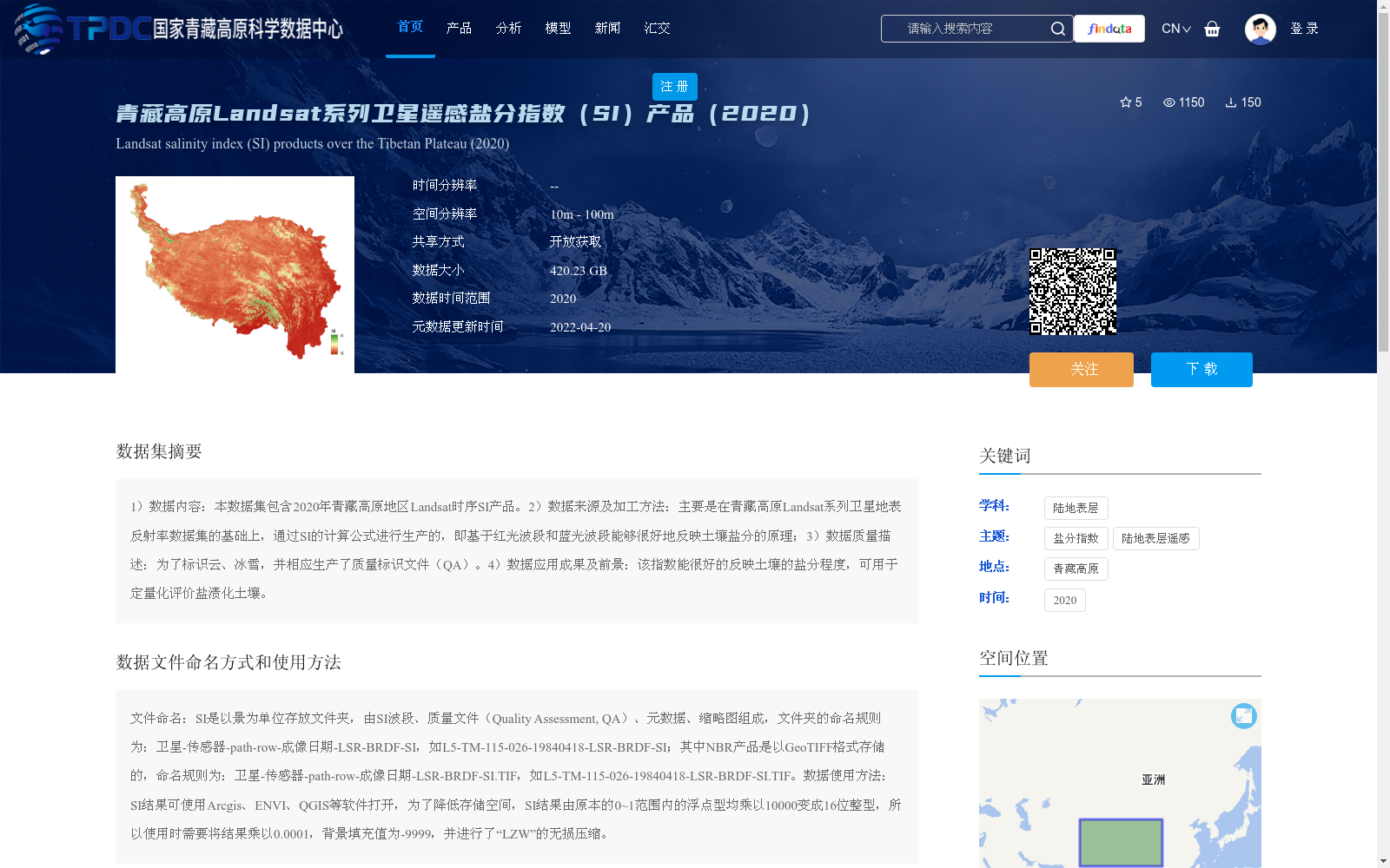
青藏高原Landsat系列卫星遥感盐分指数(SI)产品(2020)
收藏资源简介:
1)数据内容:本数据集包含2020年青藏高原地区Landsat时序SI产品。2)数据来源及加工方法:主要是在青藏高原Landsat系列卫星地表反射率数据集的基础上,通过SI的计算公式进行生产的,即基于红光波段和蓝光波段能够很好地反映土壤盐分的原理;3)数据质量描述:为了标识云、冰雪,并相应生产了质量标识文件(QA)。4)数据应用成果及前景:该指数能很好的反映土壤的盐分程度,可用于定量化评价盐渍化土壤。
1) Data Content: This dataset contains Landsat time-series Soil Salinity Index (SI) products over the Qinghai-Tibet Plateau in 2020. 2) Data Source and Processing Method: It is mainly generated based on the Landsat series satellite surface reflectance dataset over the Qinghai-Tibet Plateau, using the calculation formula of SI, which is based on the principle that the red and blue bands can well reflect soil salinity; 3) Data Quality Description: To identify clouds, snow and ice, corresponding quality assessment (QA) files have been generated. 4) Data Application Achievements and Prospects: This index can well reflect the degree of soil salinity, and can be used for quantitative evaluation of salinized soils.