青藏高原1:700万水准垂直形变场数据(1970-2024)
收藏国家青藏高原科学数据中心2025-01-07 更新2025-01-18 收录
下载链接:
https://data.tpdc.ac.cn/zh-hans/data/f67168ca-5f3c-4730-854d-fb7bdd6cc72d
下载链接
链接失效反馈官方服务:
资源简介:
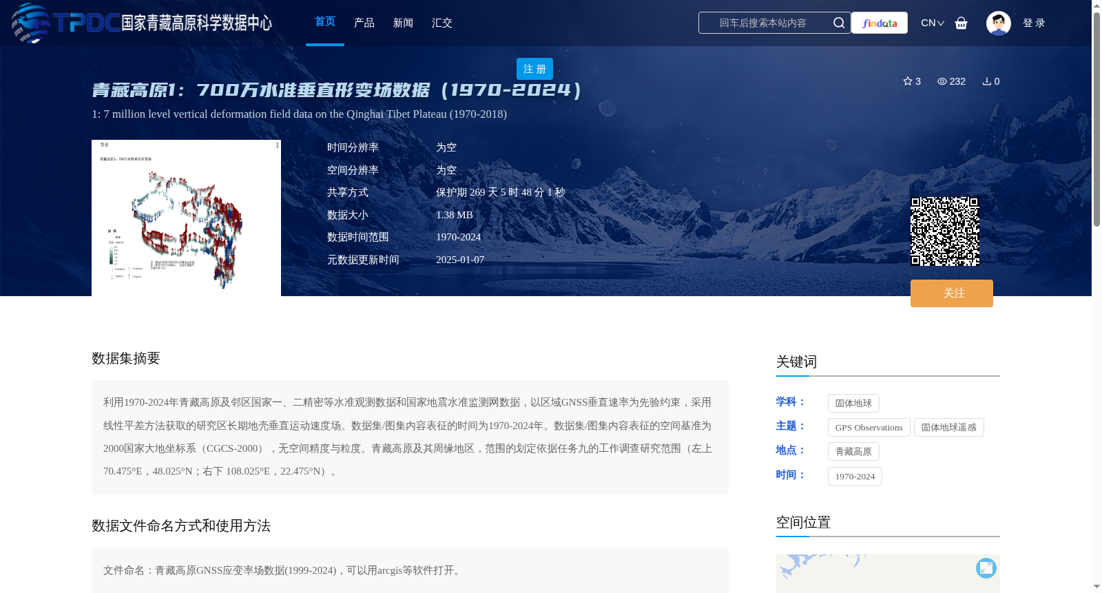
利用1970-2024年青藏高原及邻区国家一、二精密等水准观测数据和国家地震水准监测网数据,以区域GNSS垂直速率为先验约束,采用线性平差方法获取的研究区长期地壳垂直运动速度场。数据集/图集内容表征的时间为1970-2024年。数据集/图集内容表征的空间基准为2000国家大地坐标系(CGCS-2000),无空间精度与粒度。青藏高原及其周缘地区,范围的划定依据任务九的工作调查研究范围(左上70.475°E,48.025°N;右下 108.025°E,22.475°N)。
This dataset/atlas contains the long-term crustal vertical motion velocity field of the study area, which is derived via linear adjustment method with regional GNSS vertical rates as prior constraints. The data sources include national first- and second-order precise leveling observation data and national seismic leveling monitoring network data of the Qinghai-Tibet Plateau and its adjacent regions spanning from 1970 to 2024.
The temporal coverage of this dataset/atlas is 1970-2024. The spatial reference frame adopted is China Geodetic Coordinate System 2000 (CGCS2000), with no specified spatial accuracy and granularity.
The study area covers the Qinghai-Tibet Plateau and its surrounding regions, which is delineated based on the work survey scope of Task 9, with the boundary coordinates: upper-left corner 70.475°E, 48.025°N; lower-right corner 108.025°E, 22.475°N.
提供机构:
郝 明
创建时间:
2025-01-03
搜集汇总
数据集介绍
背景与挑战
背景概述
该数据集为青藏高原1970-2024年的地壳垂直形变场数据,基于精密水准观测和GNSS约束生成,空间覆盖70.475°E-108.025°E和22.475°N-48.025°N,用于研究长期地壳运动。数据需通过ArcGIS等软件打开,引用时需注明来源。
以上内容由遇见数据集搜集并总结生成


