南极海冰逐日1km云重建反照率数据集(2012-2021)
收藏国家青藏高原科学数据中心2024-04-01 更新2024-04-21 收录
下载链接:
https://data.tpdc.ac.cn/zh-hans/data/7cdfd06c-0f2e-4ebb-a69d-54780b89951e
下载链接
链接失效反馈官方服务:
资源简介:
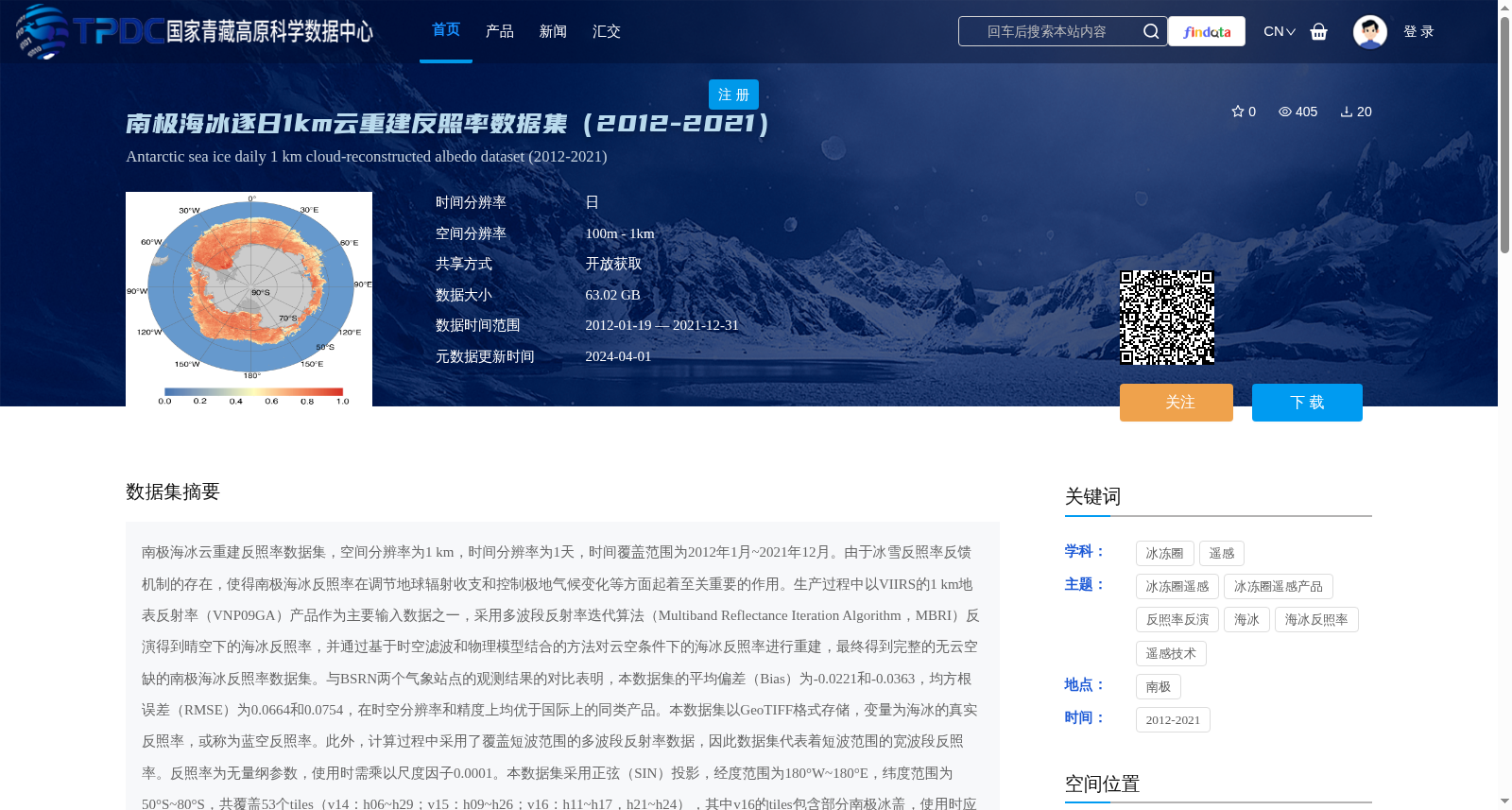
南极海冰云重建反照率数据集,空间分辨率为1 km,时间分辨率为1天,时间覆盖范围为2012年1月~2021年12月。由于冰雪反照率反馈机制的存在,使得南极海冰反照率在调节地球辐射收支和控制极地气候变化等方面起着至关重要的作用。生产过程中以VIIRS的1 km地表反射率(VNP09GA)产品作为主要输入数据之一,采用多波段反射率迭代算法(Multiband Reflectance Iteration Algorithm,MBRI)反演得到晴空下的海冰反照率,并通过基于时空滤波和物理模型结合的方法对云空条件下的海冰反照率进行重建,最终得到完整的无云空缺的南极海冰反照率数据集。与BSRN两个气象站点的观测结果的对比表明,本数据集的平均偏差(Bias)为-0.0221和-0.0363,均方根误差(RMSE)为0.0664和0.0754,在时空分辨率和精度上均优于国际上的同类产品。本数据集以GeoTIFF格式存储,变量为海冰的真实反照率,或称为蓝空反照率。此外,计算过程中采用了覆盖短波范围的多波段反射率数据,因此数据集代表着短波范围的宽波段反照率。反照率为无量纲参数,使用时需乘以尺度因子0.0001。本数据集采用正弦(SIN)投影,经度范围为180°W~180°E,纬度范围为50°S~80°S,共覆盖53个tiles(v14:h06~h29;v15:h09~h26;v16:h11~h17,h21~h24),其中v16的tiles包含部分南极冰盖,使用时应将此区域进行裁剪。海水区域设为填充值-1。本数据可以用于南极海冰辐射收支和亏损状态评估及预测,以及气候变化等方面的研究。
Antarctic Sea Ice Cloud-reconstructed Albedo Dataset has a spatial resolution of 1 km, temporal resolution of 1 day, and covers the period from January 2012 to December 2021. Due to the snow and ice albedo feedback mechanism, Antarctic sea ice albedo plays a crucial role in regulating Earth's radiative budget and controlling polar climate change. The dataset was produced using the 1 km surface reflectance product (VNP09GA) from the Visible Infrared Imaging Radiometer Suite (VIIRS) as one of the core input datasets. The Multiband Reflectance Iteration Algorithm (MBRI) was applied to retrieve sea ice albedo under clear-sky conditions, and sea ice albedo under cloudy-sky conditions was reconstructed via a hybrid method combining spatial-temporal filtering and physical models. Ultimately, a complete, cloud-free and gap-free Antarctic sea ice albedo dataset was generated. Validation against in-situ observations from two Baseline Surface Radiation Network (BSRN) meteorological stations reveals that the mean biases (Bias) of this dataset are -0.0221 and -0.0363, with root mean square errors (RMSE) of 0.0664 and 0.0754, respectively. This dataset outperforms existing international similar datasets in terms of both spatial-temporal resolution and retrieval accuracy. This dataset is stored in GeoTIFF format, with the variable being the true sea ice albedo, also referred to as blue-sky albedo. In addition, multi-band reflectance data covering the shortwave spectral range were utilized in the computational process, so this dataset represents shortwave broadband albedo. Albedo is a dimensionless parameter, and a scaling factor of 0.0001 must be multiplied during data application. This dataset employs the Sinusoidal (SIN) projection, with a spatial coverage of longitude from 180°W to 180°E and latitude from 50°S to 80°S, totaling 53 tiles (v14: h06~h29; v15: h09~h26; v16: h11~h17, h21~h24). The tiles under v16 cover a portion of the Antarctic ice sheet, which should be cropped out during data usage. Seawater regions are assigned the fill value of -1. This dataset can support research on Antarctic sea ice radiative budget and deficit assessment and prediction, as well as studies related to polar climate change.
提供机构:
郝卫峰,马超,程青,李斐
创建时间:
2024-03-27
搜集汇总
数据集介绍
背景与挑战
背景概述
该数据集为2012-2021年南极海冰逐日1km云重建反照率数据,通过多波段反射率迭代算法和时空滤波物理模型结合的方法,生成无云空缺的高精度反照率产品,平均偏差和均方根误差优于国际同类产品,适用于海冰辐射收支和气候变化研究。
以上内容由遇见数据集搜集并总结生成


