青藏高原东北部历史山洪数据集
收藏国家青藏高原科学数据中心2025-04-07 更新2025-05-24 收录
下载链接:
https://data.tpdc.ac.cn/zh-hans/data/521f7283-bec4-4507-8d58-2af0b8bb2742
下载链接
链接失效反馈官方服务:
资源简介:
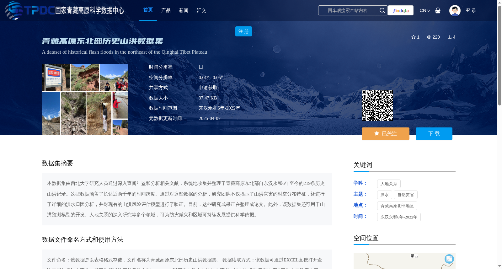
本数据集由西北大学研究人员通过深入查阅年鉴和分析相关文献,系统地收集并整理了青藏高原东北部自东汉永和6年至今的219条历史山洪记录。这些数据涵盖了长达近两千年的时间跨度。通过对这些数据的分析,研究团队不仅揭示了山洪灾害的时空分布特征,还进行了详细的洪水归因分析,并对现有的山洪风险评估模型进行了验证。目前,这些研究成果正在整理成论文。此外,该数据集还可用于山洪预测模型的开发、人地关系的深入研究等多个领域,可为防灾减灾和区域可持续发展提供科学依据。
This dataset comprises 219 historical flash flood records from the northeastern Qinghai-Tibet Plateau, spanning from the 6th year of Yonghe Era in the Eastern Han Dynasty to the present. These records were systematically collected and curated by researchers from Northwest University via in-depth review of yearbooks and analysis of relevant literature, covering a time span of nearly two millennia. Through analysis of this dataset, the research team uncovered the spatiotemporal distribution patterns of flash flood disasters, conducted detailed flood attribution analyses, and validated existing flash flood risk assessment models. Currently, these research outcomes are being compiled into a scholarly paper. Furthermore, this dataset can be utilized in various research areas including the development of flash flood prediction models and in-depth investigations of human-land relationships, providing scientific evidence for disaster prevention and mitigation as well as regional sustainable development.
提供机构:
宋进喜
创建时间:
2025-01-16
搜集汇总
数据集介绍
背景与挑战
背景概述
该数据集是青藏高原东北部历史山洪数据集,由西北大学研究人员整理,包含自东汉永和6年至2022年的219条山洪记录,时间跨度近两千年,用于分析山洪的时空分布和洪水归因。数据集以表格格式存储,支持EXCEL和ARCGIS使用,适用于山洪预测模型开发、防灾减灾和区域可持续发展研究。
以上内容由遇见数据集搜集并总结生成


