2000年黄河流域国际重要湿地范围内30m分辨率土地覆被数据集
收藏国家地球系统科学数据中心2023-09-12 更新2024-03-04 收录
下载链接:
https://www.geodata.cn/data/datadetails.html?dataguid=217198787059571&docId=4577
下载链接
链接失效反馈官方服务:
资源简介:
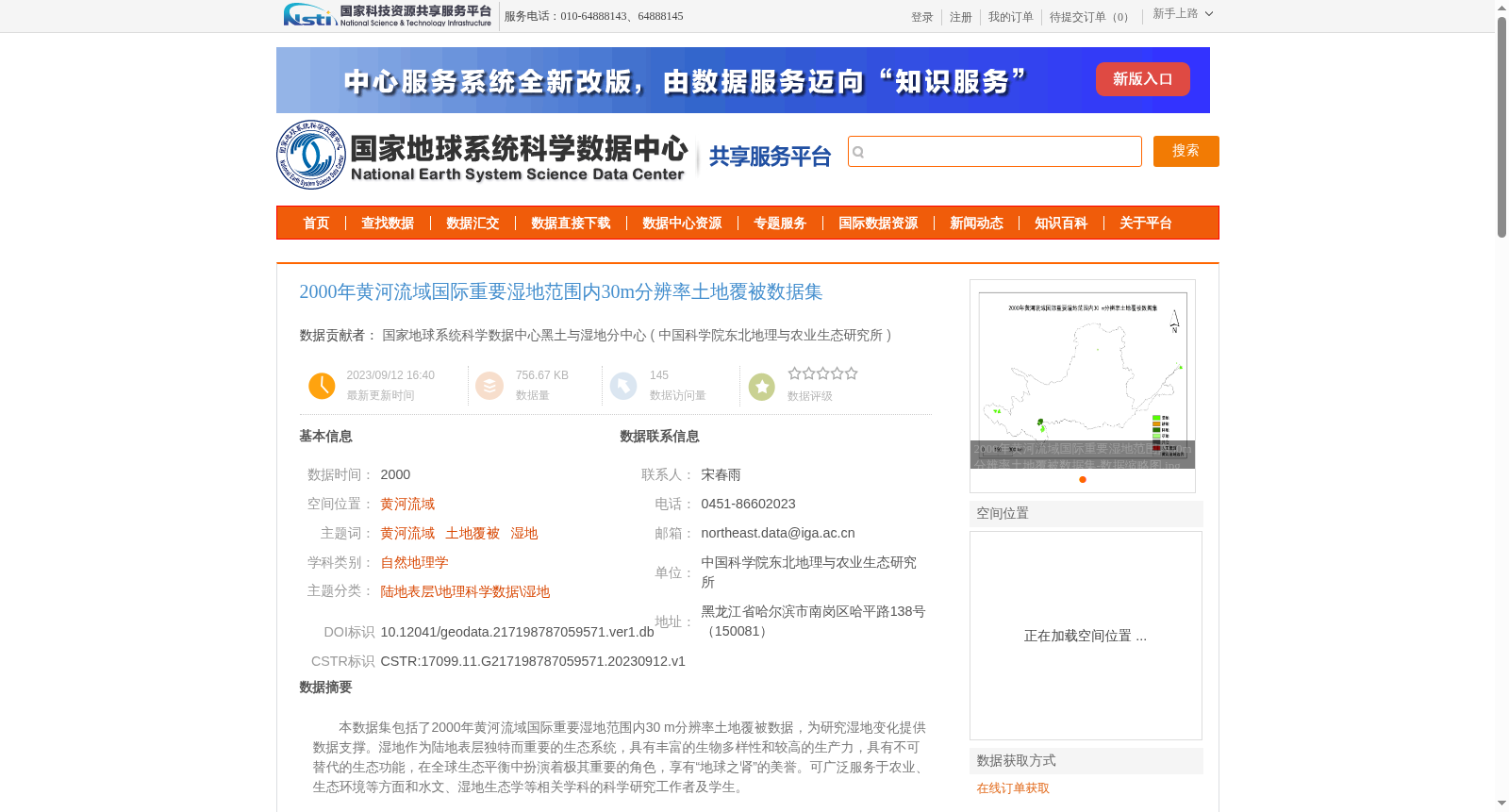
本数据集包括了2000年黄河流域国际重要湿地范围内30 m分辨率土地覆被数据,为研究湿地变化提供数据支撑。湿地作为陆地表层独特而重要的生态系统,具有丰富的生物多样性和较高的生产力,具有不可替代的生态功能,在全球生态平衡中扮演着极其重要的角色,享有“地球之肾”的美誉。可广泛服务于农业、生态环境等方面和水文、湿地生态学等相关学科的科学研究工作者及学生。
This dataset contains 30 m-resolution land cover data within the Wetlands of International Importance of the Yellow River Basin in 2000, providing data support for wetland change research. As unique and critical terrestrial ecosystems, wetlands boast rich biodiversity and high productivity, possess irreplaceable ecological functions, play an extremely important role in global ecological balance, and are renowned as the "Kidneys of the Earth". This resource can be widely utilized by researchers and students engaged in scientific research across domains such as agriculture, ecological environment, and related disciplines including hydrology and wetland ecology.
提供机构:
中国科学院东北地理与农业生态研究所
创建时间:
2023-09-12
搜集汇总
数据集介绍
背景与挑战
背景概述
该数据集提供了2000年黄河流域国际重要湿地范围内的30米分辨率土地覆被数据,基于Landsat遥感影像采用面向对象分类方法生成,一级类精度超过90%。它旨在支持湿地变化研究,服务于农业、生态环境等领域的科学工作,具有高精度和明确的时空范围特点。
以上内容由遇见数据集搜集并总结生成


