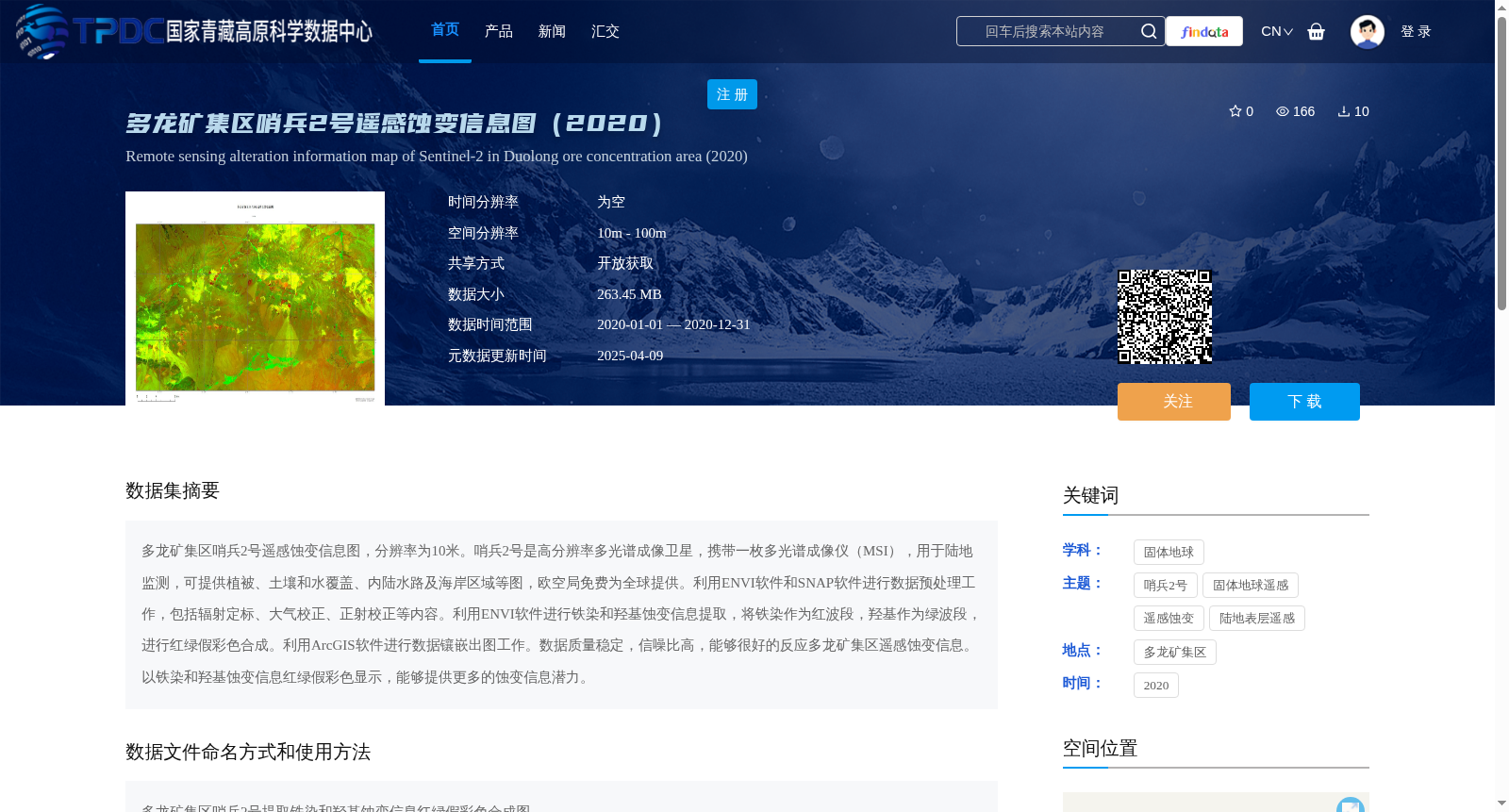
多龙矿集区哨兵2号遥感蚀变信息图(2020)
收藏资源简介:
多龙矿集区哨兵2号遥感蚀变信息图,分辨率为10米。哨兵2号是高分辨率多光谱成像卫星,携带一枚多光谱成像仪(MSI),用于陆地监测,可提供植被、土壤和水覆盖、内陆水路及海岸区域等图,欧空局免费为全球提供。利用ENVI软件和SNAP软件进行数据预处理工作,包括辐射定标、大气校正、正射校正等内容。利用ENVI软件进行铁染和羟基蚀变信息提取,将铁染作为红波段,羟基作为绿波段,进行红绿假彩色合成。利用ArcGIS软件进行数据镶嵌出图工作。数据质量稳定,信噪比高,能够很好的反应多龙矿集区遥感蚀变信息。以铁染和羟基蚀变信息红绿假彩色显示,能够提供更多的蚀变信息潜力。
Sentinel-2 remote sensing alteration information map of the Duolong ore concentration area, with a spatial resolution of 10 meters. Sentinel-2 is a high-resolution multispectral imaging satellite equipped with a Multispectral Instrument (MSI), designed for land monitoring. It provides maps of vegetation, soil and water cover, inland waterways and coastal areas, and is freely available to the global community by the European Space Agency (ESA). Data preprocessing was conducted using ENVI and SNAP software, including radiometric calibration, atmospheric correction, orthorectification and other relevant procedures. Iron oxide and hydroxyl alteration information were extracted using ENVI software, and a red-green false-color composite was generated by assigning the iron oxide data to the red band and the hydroxyl alteration data to the green band. Data mosaicking and cartography were completed using ArcGIS software. The dataset has stable data quality and a high signal-to-noise ratio (SNR), which can effectively reflect the remote sensing alteration information of the Duolong ore concentration area. Visualizing the iron oxide and hydroxyl alteration information via the red-green false-color composite offers enhanced potential for detecting remote sensing alteration information.