黄河流域12.5米分辨率水文分析(汇)数据集
收藏国家地球系统科学数据中心2023-03-29 更新2024-04-21 收录
下载链接:
https://www.geodata.cn/data/datadetails.html?dataguid=124775103499678&docId=6079
下载链接
链接失效反馈官方服务:
资源简介:
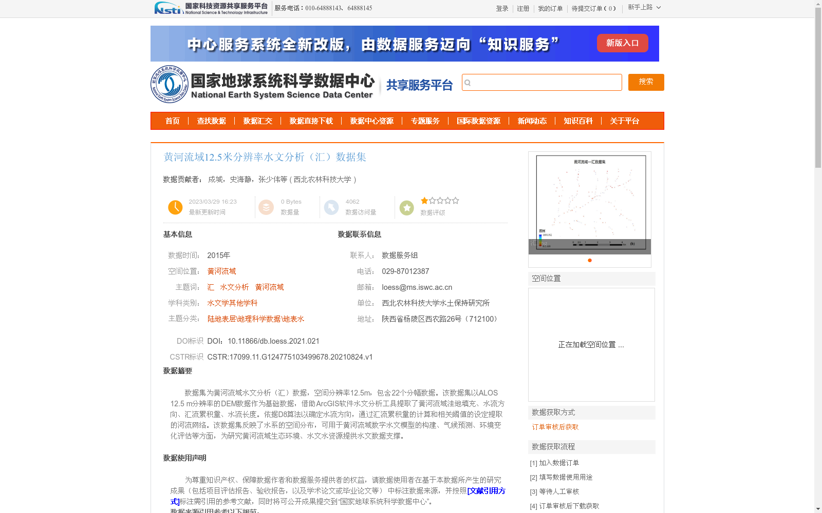
数据集为黄河流域水文分析(汇)数据,空间分辨率12.5m,包含22个分幅数据。该数据集以ALOS 12.5 m分辨率的DEM数据作为基础数据,借助ArcGIS软件水文分析工具提取了黄河流域洼地填充、水流方向、汇流累积量、水流长度。依据D8算法以确定水流方向,通过汇流累积量的计算和相关阈值的设定提取的河流网络。该数据集反映了水系的空间分布,可用于黄河流域数字水文模型的构建、气候预测、环境变化评估等方面,为研究黄河流域生态环境、水文水资源提供水文数据支撑。
This dataset is hydrological analysis (flow accumulation) data for the Yellow River Basin, with a spatial resolution of 12.5 m and consisting of 22 tiled data sheets. It is developed based on the 12.5 m resolution ALOS DEM data, and the ArcGIS hydrological analysis tools were utilized to extract the depression filling, flow direction, flow accumulation, and flow length within the Yellow River Basin. The flow direction was determined using the D8 algorithm, and the river network was extracted via flow accumulation calculation and the setting of relevant thresholds. This dataset reflects the spatial distribution of the water system, and can be applied to the construction of digital hydrological models for the Yellow River Basin, climate prediction, environmental change assessment and other related research fields, providing reliable hydrological data support for studies on the ecological environment, hydrology and water resources of the Yellow River Basin.
提供机构:
西北农林科技大学
创建时间:
2021-08-24
搜集汇总
数据集介绍
背景与挑战
背景概述
该数据集是2015年黄河流域的12.5米高分辨率水文分析数据,基于ALOS DEM并使用ArcGIS水文分析工具(如D8算法)提取了洼地填充、水流方向、汇流累积量、水流长度和河流网络等关键水文要素。它包含22个分幅数据,主要用于支持黄河流域的数字水文模型构建、气候预测和环境变化评估,相比低分辨率数据能更精确地反映地形细节和河网分布。
以上内容由遇见数据集搜集并总结生成


