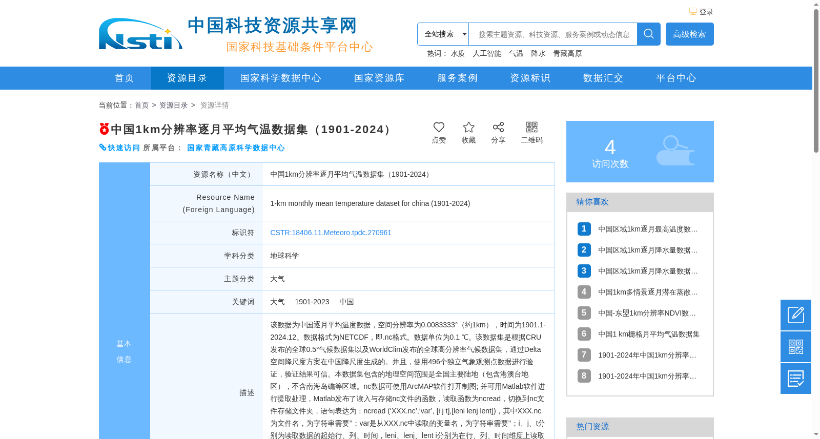
中国1km分辨率逐月平均气温数据集(1901-2024)
收藏资源简介:
该数据为中国逐月平均温度数据,空间分辨率为0.0083333°(约1km),时间为1901.1-2024.12。数据格式为NETCDF,即.nc格式。数据单位为0.1 ℃。该数据集是根据CRU发布的全球0.5°气候数据集以及WorldClim发布的全球高分辨率气候数据集,通过Delta空间降尺度方案在中国降尺度生成的。并且,使用496个独立气象观测点数据进行验证,验证结果可信。本数据集包含的地理空间范围是全国主要陆地(包含港澳台地区),不含南海岛礁等区域。nc数据可使用ArcMAP软件打开制图; 并可用Matlab软件进行提取处理,Matlab发布了读入与存储nc文件的函数,读取函数为ncread,切换到nc文件存储文件夹,语句表达为:ncread (‘XXX.nc’,‘var’, [i j t],[leni lenj lent]),其中XXX.nc为文件名,为字符串需要’’;var是从XXX.nc中读取的变量名,为字符串需要’’;i、j、t分别为读取数据的起始行、列、时间,leni、lenj、lent i分别为在行、列、时间维度上读取的长度。这样,研究区内任何地区、任何时间段均可用此函数读取。Matlab的help里面有很多关于nc数据的命令,可查看。数据坐标系统建议使用WGS84。
This dataset contains monthly mean temperature data over China, with a spatial resolution of 0.0083333° (approximately 1 km), covering the period from January 1901 to December 2024. The data is stored in NETCDF format (i.e., .nc files), with the unit of 0.1 ℃. This dataset was generated using the Delta spatial downscaling scheme over China, based on the global 0.5° climate dataset released by the Climatic Research Unit (CRU) and the global high-resolution climate dataset released by WorldClim. It was further validated using observations from 496 independent meteorological stations, and the validation results confirm its reliability. The geographical scope of this dataset includes the main terrestrial areas of China (covering Hong Kong, Macao and Taiwan regions), excluding regions such as the South China Sea islands and reefs. NETCDF files can be opened and used for mapping with ArcMAP software, and can also be extracted and processed using MATLAB. MATLAB provides built-in functions for reading and writing NETCDF files, among which the data reading function is `ncread`. When in the directory where the .nc files are stored, the usage syntax is: `ncread ('XXX.nc','var', [i j t],[leni lenj lent])`, where `XXX.nc` is the filename (enclosed in single quotes as a string literal), `var` is the name of the target variable to be read from XXX.nc (also enclosed in single quotes as a string literal), `i`, `j`, and `t` respectively denote the starting row, column and time index for data extraction, while `leni`, `lenj` and `lent` respectively represent the lengths of the extracted data along the row, column and time dimensions. With this function, any region and time period within the study area can be accessed. A variety of NETCDF-related commands are available in the MATLAB Help documentation for reference. It is recommended to use the WGS84 coordinate system for this dataset.