青藏高原重大基础设施开发强度数据集(2000-2020)
收藏资源简介:
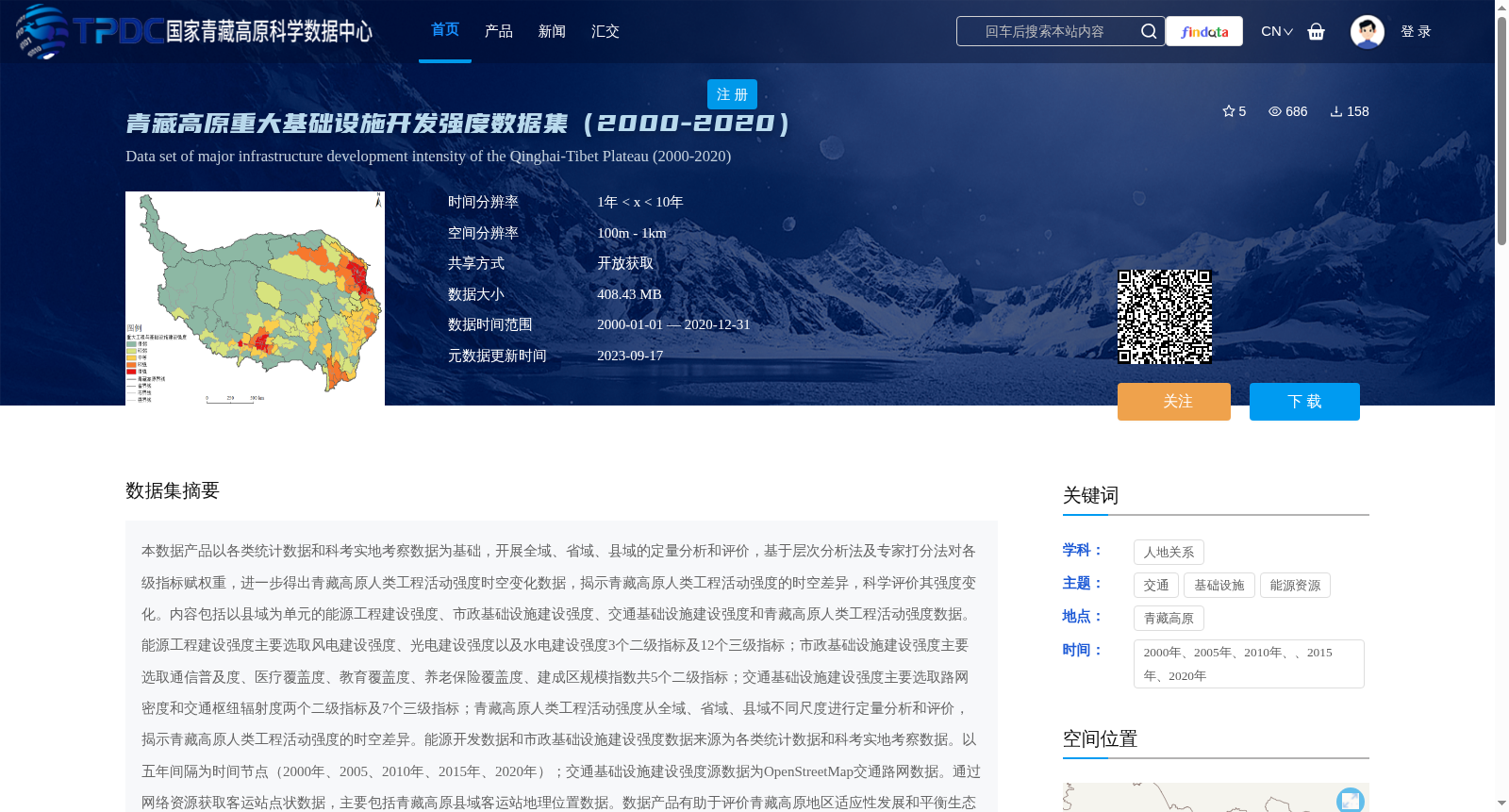
本数据产品以各类统计数据和科考实地考察数据为基础,开展全域、省域、县域的定量分析和评价,基于层次分析法及专家打分法对各级指标赋权重,进一步得出青藏高原人类工程活动强度时空变化数据,揭示青藏高原人类工程活动强度的时空差异,科学评价其强度变化。内容包括以县域为单元的能源工程建设强度、市政基础设施建设强度、交通基础设施建设强度和青藏高原人类工程活动强度数据。能源工程建设强度主要选取风电建设强度、光电建设强度以及水电建设强度3个二级指标及12个三级指标;市政基础设施建设强度主要选取通信普及度、医疗覆盖度、教育覆盖度、养老保险覆盖度、建成区规模指数共5个二级指标;交通基础设施建设强度主要选取路网密度和交通枢纽辐射度两个二级指标及7个三级指标;青藏高原人类工程活动强度从全域、省域、县域不同尺度进行定量分析和评价,揭示青藏高原人类工程活动强度的时空差异。能源开发数据和市政基础设施建设强度数据来源为各类统计数据和科考实地考察数据。以五年间隔为时间节点(2000年、2005、2010年、2015年、2020年);交通基础设施建设强度源数据为OpenStreetMap交通路网数据。通过网络资源获取客运站点状数据,主要包括青藏高原县域客运站地理位置数据。数据产品有助于评价青藏高原地区适应性发展和平衡生态环境与经济发展的目标。
This data product is developed based on various statistical data and field scientific expedition data, carrying out quantitative analysis and evaluation at whole-region, provincial, and county-level scales. Weights for indicators at all levels are assigned via the Analytic Hierarchy Process (AHP) and Expert Scoring Method to further derive spatiotemporal change data of human engineering activity intensity on the Qinghai-Tibet Plateau, reveal the spatiotemporal differences in such intensity, and scientifically evaluate its changes. The dataset includes data on the intensity of energy engineering construction, municipal infrastructure construction, transportation infrastructure construction, and the intensity of human engineering activities on the Qinghai-Tibet Plateau, with county-level administrative units as the basic analysis unit. The intensity of energy engineering construction covers 3 secondary indicators (intensity of wind power construction, solar photovoltaic (PV) construction, and hydropower construction) and 12 tertiary indicators; the intensity of municipal infrastructure construction includes 5 secondary indicators: communication penetration rate, medical coverage, educational coverage, endowment insurance coverage, and built-up area scale index; the intensity of transportation infrastructure construction covers 2 secondary indicators (road network density and radiation capacity of transportation hubs) and 7 tertiary indicators. The intensity of human engineering activities on the Qinghai-Tibet Plateau is quantitatively analyzed and evaluated at whole-region, provincial, and county-level scales, revealing the spatiotemporal differences in such intensity. Data on energy development and municipal infrastructure construction intensity are sourced from various statistical data and field scientific expedition data, with temporal nodes set at 5-year intervals: 2000, 2005, 2010, 2015, and 2020. The source data for transportation infrastructure construction intensity come from OpenStreetMap road network data. Point data of passenger transport stations, mainly including geographic location data of county-level passenger bus stations on the Qinghai-Tibet Plateau, are obtained via online resources. This data product facilitates the evaluation of adaptive development in the Qinghai-Tibet Plateau region and the goal of balancing ecological environment protection and economic development.