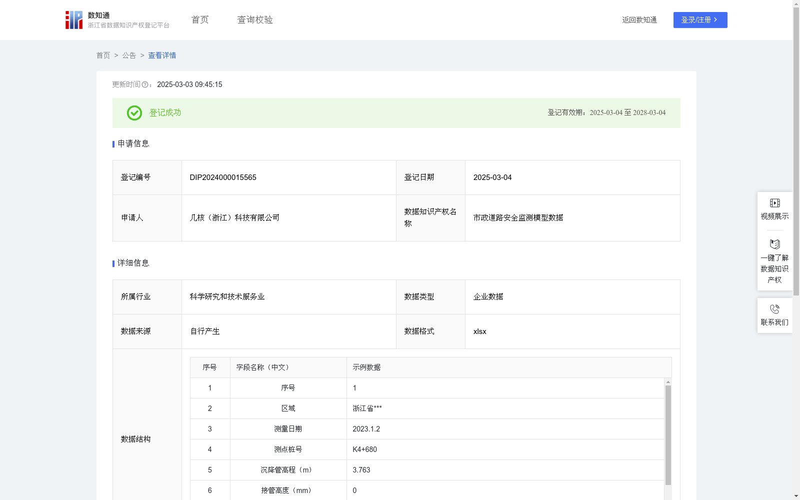
市政道路安全监测模型数据
收藏浙江省数据知识产权登记平台2025-03-03 更新2025-03-04 收录
下载链接:
https://www.zjip.org.cn/home/announce/trends/115133
下载链接
链接失效反馈官方服务:
资源简介:
通过采集和分析市政道路在施工及运营过程中的沉降观测数据,评估道路工程的稳定性,提前发现问题,尽早制定相应的维护和修复计划,保障道路安全,减少因道路沉降问题导致的交通事故或人员伤亡。为相关区域企业,政府政策提供数据支撑,对全行业多区域具有领导指引作用。1、数据采集:使用必要的仪器采集道路中心测点的沉降观测数据,每一个测点为一条数据。2、数据计算:每一个测点的沉降量(△h)等于上一期测点高程H上与接管高度之和H1 再减去本次测点高程H本,即△h=H上+H1-H本。根据测点的沉降量△h与时间间隔△s,计算沉降速率v:v=△h/△s。3、数据分析及预警:分析各测点的沉降量及沉降速率进行,若沉降量及沉降速率趋于稳定,则道路安全性正常,对于两项数据异常的路段,及时上报,采取维护或修复措施。整体数据生成“市政道路安全”模型,填充数据库,便于为市政道路的设计与政策安全性的预估提供依据。"测点高程"与数据结构中“沉降管高程”,“沉降量”与“本次沉降”,属于数据输出系统和研究描述上的使用差异。
This dataset collects and analyzes settlement observation data of municipal roads during their construction and operation phases, to evaluate the stability of road engineering, identify potential problems in advance, formulate corresponding maintenance and repair plans as early as possible, ensure road safety, and reduce traffic accidents and casualties caused by road settlement issues. It provides data support for enterprises in relevant regions and government policy-making, and plays a leading and guiding role for the entire industry across multiple regions.
1. Data Collection: Collect settlement observation data of measuring points at the road center using necessary instruments, with each measuring point corresponding to one data entry.
2. Data Calculation: The settlement amount (Δh) of each measuring point is calculated as the sum of the elevation of the previous-period measuring point (H_prev) and the pipe connection height (H1) minus the current measuring point elevation (H_curr), i.e., Δh = H_prev + H1 - H_curr. The settlement rate v can be derived from the settlement amount Δh of the measuring point and the time interval Δs: v = Δh / Δs.
3. Data Analysis and Early Warning: Analyze the settlement amount and settlement rate of each measuring point. If both indicators tend to stabilize, the road safety is normal. For road sections with abnormal values of these two indicators, report them timely and take maintenance or repair measures. Build a "Municipal Road Safety" model using the overall dataset and populate the database, so as to provide a basis for safety assessment of municipal road design and relevant policies.
Note: "Measuring point elevation" and "settlement pipe elevation" in the data structure, as well as "settlement amount" and "current settlement", are merely differences in terminology usage between the data output system and research descriptions.
提供机构:
几核(浙江)科技有限公司
创建时间:
2024-11-14
搜集汇总
数据集介绍
特点
该数据集包含503条市政道路安全监测数据,用于评估道路工程稳定性,通过分析沉降数据提前发现并解决问题,保障道路安全。数据格式为xlsx,按需更新,适用于科学研究和技术服务业。
以上内容由遇见数据集搜集并总结生成


