太湖流域潜在淹没区数据集(2020)
收藏国家地球系统科学数据中心2020-08-21 更新2024-03-04 收录
下载链接:
https://www.geodata.cn/data/datadetails.html?dataguid=497233&docId=12238
下载链接
链接失效反馈官方服务:
资源简介:
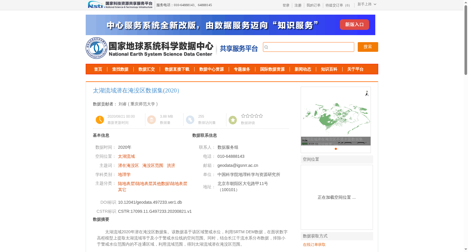
太湖流域2020年潜在淹没区数据集。该数据基于该区域警戒水位,利用SRTM DEM数据,在面状数字高程模型上提取太湖流域等于及小于警戒水位线的空间范围。同时,结合长江干流水系分布数据,排除小于警戒水位范围内的不连通区域,利用流域范围,得到太湖流域潜在淹没区范围。
Taihu Lake Basin Potential Submerged Area Dataset (2020). This dataset is developed based on the warning water level of the Taihu Lake Basin. Specifically, SRTM DEM (planar digital elevation model) data is used to extract the spatial extent within the basin that is equal to or lower than the warning water level line. Additionally, combined with the distribution data of the Yangtze River mainstream water system, disconnected regions within the area below the warning water level are eliminated, and the final potential submerged area of the Taihu Lake Basin is determined using the basin boundary.
提供机构:
重庆师范大学
创建时间:
2020-08-21
搜集汇总
数据集介绍
背景与挑战
背景概述
太湖流域潜在淹没区数据集(2020)基于该区域警戒水位和SRTM DEM数据,提取了太湖流域等于及小于警戒水位线的空间范围,并结合长江干流水系分布数据排除了不连通区域,最终得到潜在淹没区范围。数据采用Albers双纬线圆锥投影,Krasovsky 1940椭球,分辨率精度为90米,适用于地理学和洪涝研究。
以上内容由遇见数据集搜集并总结生成


