全球Landsat8优质影像数据集
收藏地球大数据科学工程2024-03-04 收录
下载链接:
https://data.casearth.cn/sdo/detail/653faa1e819aec161b6d7dba
下载链接
链接失效反馈官方服务:
资源简介:
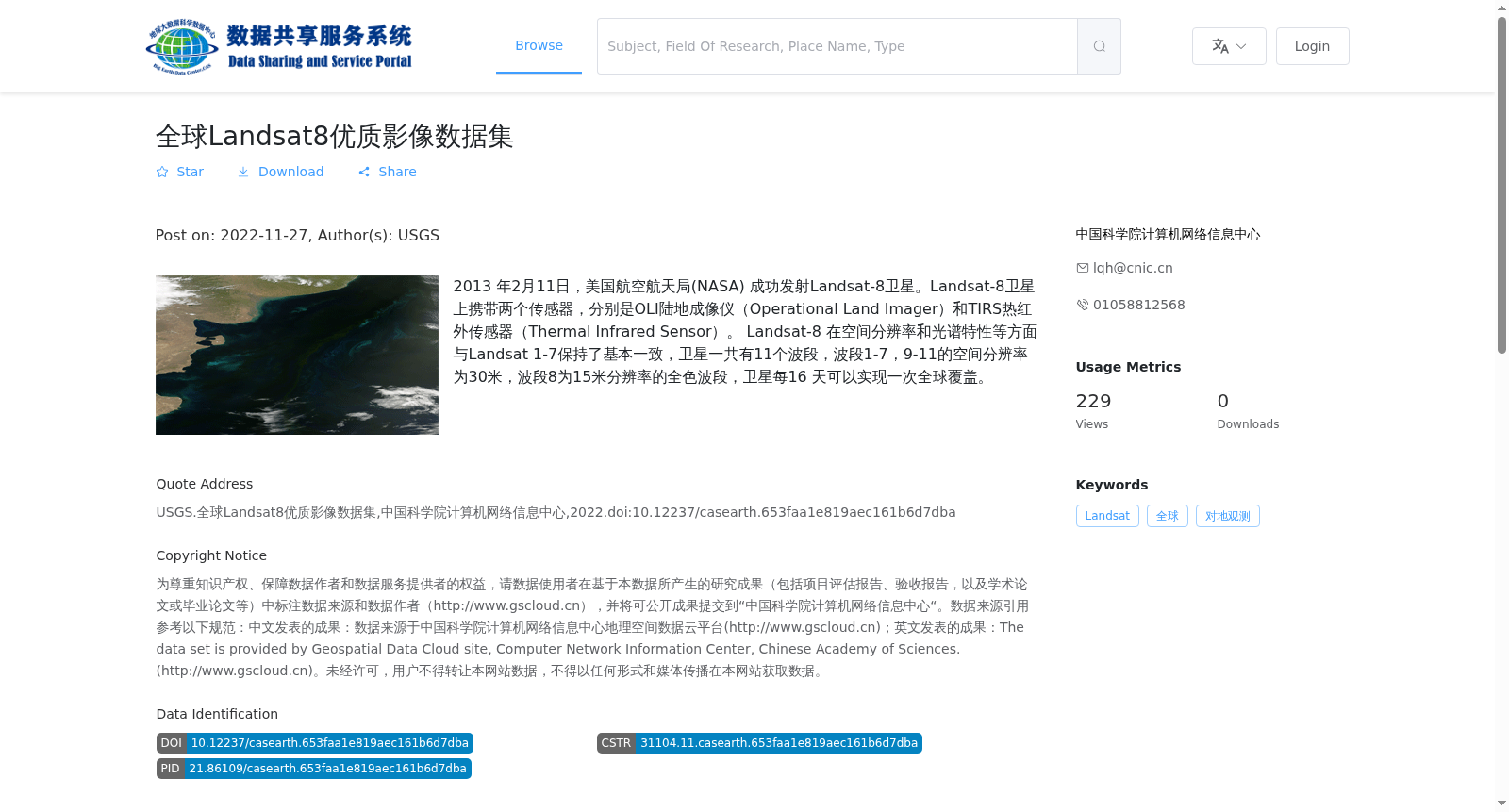
2013 年2月11日,美国航空航天局(NASA) 成功发射Landsat-8卫星。Landsat-8卫星上携带两个传感器,分别是OLI陆地成像仪(Operational Land Imager)和TIRS热红外传感器(Thermal Infrared Sensor)。
Landsat-8 在空间分辨率和光谱特性等方面与Landsat 1-7保持了基本一致,卫星一共有11个波段,波段1-7,9-11的空间分辨率为30米,波段8为15米分辨率的全色波段,卫星每16 天可以实现一次全球覆盖。
On February 11, 2013, the National Aeronautics and Space Administration (NASA) successfully launched the Landsat-8 satellite. The Landsat-8 satellite carries two sensors: the Operational Land Imager (OLI) and the Thermal Infrared Sensor (TIRS).
Landsat-8 maintains basic consistency with Landsat 1-7 in terms of spatial resolution, spectral characteristics and other aspects. The satellite has a total of 11 bands. The spatial resolution of Bands 1-7 and 9-11 is 30 meters, while Band 8 is a 15-meter-resolution panchromatic band. The satellite can achieve global coverage once every 16 days.
提供机构:
中国科学院计算机网络信息中心
搜集汇总
数据集介绍
背景与挑战
背景概述
该数据集包含Landsat-8卫星采集的全球优质影像数据,提供11个波段的多光谱影像,空间分辨率为15-30米,数据量达120.94TB。数据集由USGS发布,适用于对地观测研究。
以上内容由遇见数据集搜集并总结生成


