
SatlasPretrain
收藏资源简介:
SatlasPretrain是一个大规模的遥感图像理解数据集,由艾伦人工智能研究所创建。该数据集包含3.02亿个标签,覆盖137个类别,涉及水资源监测、森林砍伐追踪、风力涡轮机检测等多个重要地球监测应用。数据集通过结合Sentinel-2和NAIP图像构建,利用多种传感器和时间序列图像,支持模型在处理不同类型传感器图像和利用长距离空间上下文方面的能力。SatlasPretrain的应用领域广泛,旨在解决自动化遥感任务中的挑战,提高模型在特定任务上的性能。
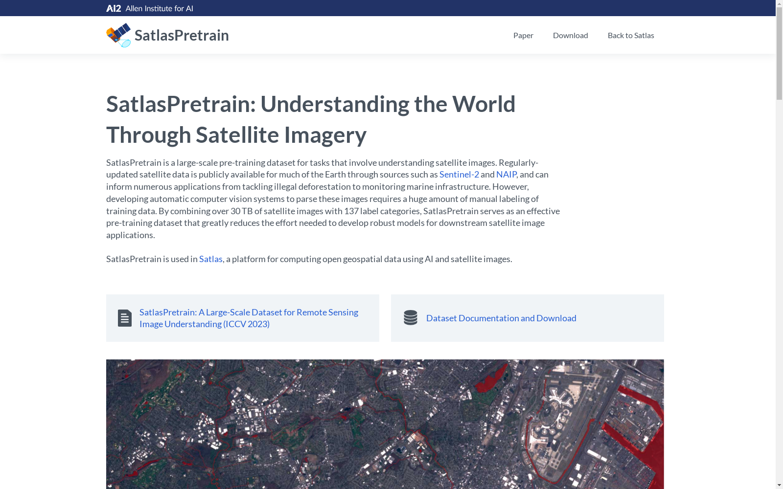
SatlasPretrain is a large-scale remote sensing image understanding dataset created by the Allen Institute for AI. It contains 302 million labels spanning 137 categories, covering a wide range of critical Earth monitoring applications including water resource monitoring, deforestation tracking, wind turbine detection and more. Constructed by combining Sentinel-2 and NAIP imagery, the dataset leverages multiple sensors and time-series images, enabling models to handle diverse sensor-derived images and leverage long-range spatial contextual information. With broad application domains, SatlasPretrain aims to address challenges in automated remote sensing tasks and improve model performance on specific tasks.
- 1SatlasPretrain: A Large-Scale Dataset for Remote Sensing Image Understanding艾伦人工智能研究所 · 2023年


