黑河干流(莺落峡以上流域)生态水文过程模拟结果(2000-2012)V2.0
收藏国家青藏高原科学数据中心2021-04-20 更新2024-03-01 收录
下载链接:
https://data.tpdc.ac.cn/zh-hans/data/aa8f443f-e823-4083-af60-e388a3c0c7b9
下载链接
链接失效反馈官方服务:
资源简介:
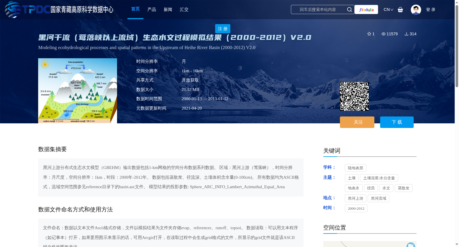
黑河上游分布式生态水文模型(GBEHM)输出数据包括1-km网格的空间分布数据系列数据。
区域:黑河上游(莺落峡),时间分辨率:月尺度,空间分辨率:1km,时段:2000年-2012年。
数据包括蒸散发、径流深、土壤体积含水量(0-100cm)。
所有数据均为ASCII格式,流域空间范围参见reference目录下的basin.asc文件。
模型结果的投影参数: Sphere_ARC_INFO_Lambert_Azimuthal_Equal_Area
The output dataset of the distributed eco-hydrological model (GBEHM) for the upper reaches of the Heihe River consists of a series of spatially distributed 1-km grid data. The study area is the upper reaches of the Heihe River (Yingluoxia), with a temporal resolution of monthly scale, spatial resolution of 1 km, and covers the period from 2000 to 2012. The dataset includes evapotranspiration, runoff depth, and soil volumetric water content (0–100 cm). All data are stored in ASCII format, and the spatial extent of the river basin is available in the basin.asc file under the reference directory. The projection parameters of the model results are Sphere_ARC_INFO_Lambert_Azimuthal_Equal_Area.
提供机构:
杨大文
创建时间:
2016-02-04
搜集汇总
数据集介绍
背景与挑战
背景概述
该数据集是基于黑河上游分布式生态水文模型(GBEHM)的模拟结果,覆盖2000年至2012年,时间分辨率为月尺度,空间分辨率为1km,包含蒸散发、径流深和土壤体积含水量等关键生态水文变量。数据以ASCII格式存储,适用于黑河上游(莺落峡以上流域)的水文和生态过程研究,支持高精度空间分析。
以上内容由遇见数据集搜集并总结生成


