TartanAir
收藏资源简介:
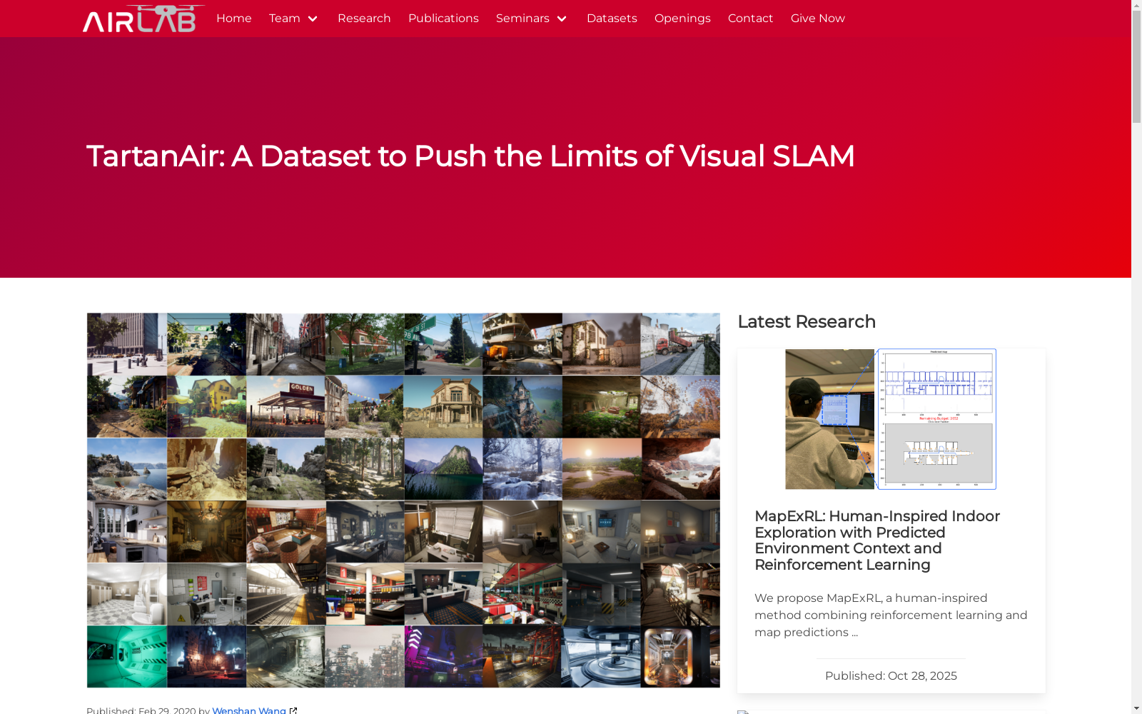
TartanAir数据集是由卡内基梅隆大学机器人研究所创建,旨在推动视觉同步定位与地图构建(SLAM)技术的极限。该数据集包含1037个长运动序列,总计超过100万帧数据,覆盖城市、乡村、自然等多种场景,具有高度的多样性和挑战性。数据集通过虚幻引擎和AirSim插件收集,提供了包括立体RGB图像、深度图像、分割标签等在内的多模态传感器数据和精确的地面实况标签。TartanAir数据集不仅用于评估现有SLAM算法的性能,还旨在为基于学习的方法提供大规模多样化的训练数据,以缩小模拟与现实之间的差距,推动SLAM技术在现实世界中的应用。
The TartanAir dataset was created by the Robotics Institute of Carnegie Mellon University, aiming to push the limits of visual simultaneous localization and mapping (SLAM) technology. This dataset includes 1037 long motion sequences with a total of over one million frames of data, covering diverse scenarios such as urban, rural, and natural environments, and exhibits high diversity and challenge. Collected using Unreal Engine and the AirSim plugin, the dataset provides multimodal sensor data including stereo RGB images, depth images, segmentation labels, alongside precise ground truth labels. The TartanAir dataset not only serves to evaluate the performance of existing SLAM algorithms, but also aims to provide large-scale and diverse training data for learning-based methods, bridging the sim-to-real gap and advancing real-world applications of SLAM technology.